
Data Management
Ensuring MBON observational data are FAIR — Findable, Accessible, Interoperable, and Reusable — from sensor to archive.
The Data Management working group (DMAC) supports every MBON node in meeting FAIR data principles. Activities include establishing Darwin Core / DwC-A submission workflows to OBIS, developing quality-control pipelines, maintaining the MBON data portal, and coordinating with IOOS DMAC and the Ocean Biodiversity Information System.
The group maintains shared code repositories, data submission templates, and training materials for new node teams.

Indicators & Data Management
Raw observations become decision-relevant information through synthesis into Essential Ocean Variables, open data pipelines, and indicators that managers and policymakers can act on.
Learn moreMBON + AIR BioData Mobilization Workshop
A five-day, hands-on MBON and AIR Centre workshop in the Azores on mobilising marine biological observation datasets to OBIS, with a field day on benthic photo-quadrat imagery following MBON Pole to Pole protocols.
View details
ecoidx
R package implementing NOAA Integrated Ecosystem Assessment (IEA) indicator standards — workflows and visualizations for marine ecological indicators.
Learn more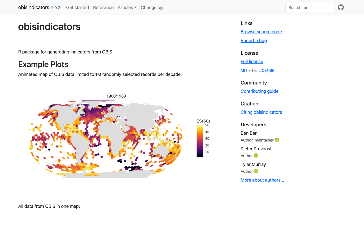
obisindicators
R package for generating biodiversity indicators — including ES(50) estimated species richness — from OBIS occurrence data.
Learn more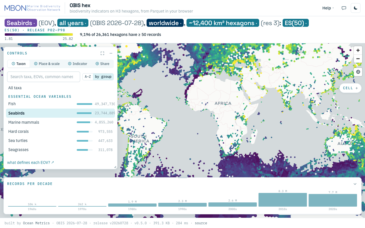
OBIS hex
Biodiversity indicators from every OBIS record on H3 hexagons, from ES(50) to records per decade, computed from Parquet in your browser with no server. The URL is the view.
Learn more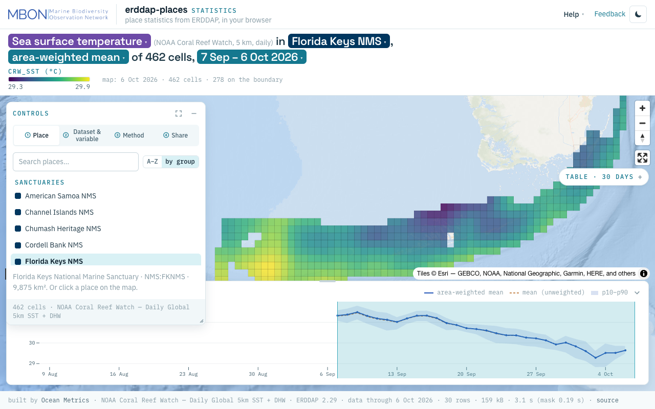
erddap-places
Place statistics from ERDDAP gridded and tabular data for sanctuaries and other marine places, computed in your browser, plus a Then vs Now lens for sanctuary sea surface temperature. The URL is the view.
Learn more