
STAC-SDM
STAC-SDM is a SpatioTemporal Asset Catalog
extension (prefix sdm:)
for species distribution models. It records the semantics that core STAC lacks: the response
type of each cell value and its unit, the modeling method, the source authority, the
predictors, the vintage of the environmental layers, and the prediction interval (static,
monthly or seasonal) that captures phenology. Everything else (projection, raster bands,
citation, versioning, lineage) is delegated to existing STAC extensions. It is the catalog
schema of the Marine Sensitivity Toolkit
.
Indicators
Synthesizing raw observations into Essential Biodiversity Variables and Essential Ocean Variables for policy-relevant reporting.
Learn moreMarine Sensitivity Toolkit
A catalog and atlas of marine species distribution models and sensitivity scores for U.S. waters, harmonized with STAC-SDM into cloud-optimized GeoTIFF and GeoParquet.
Learn more
MarineSDMs
Materials and code for building marine species distribution models (SDMs) from open occurrence and environmental data.
Learn more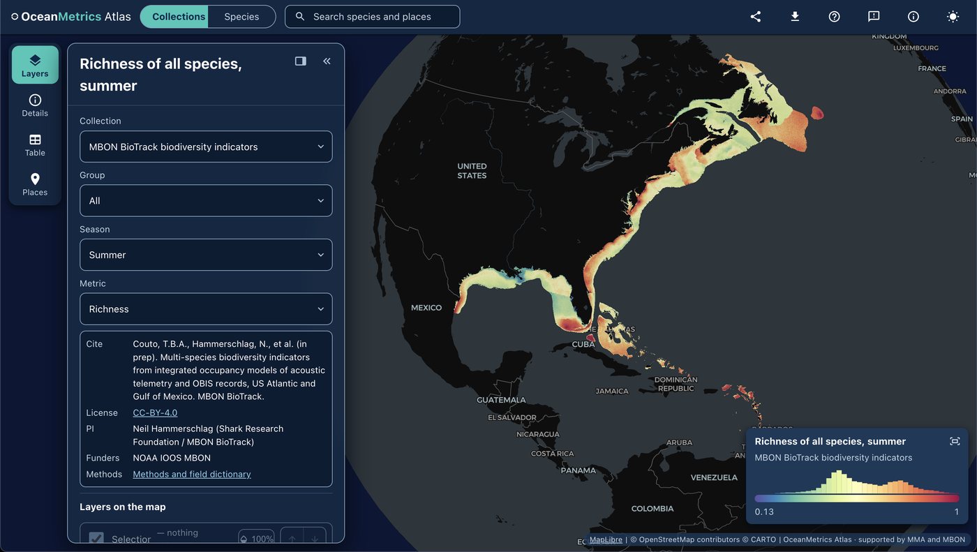
OceanMetrics Atlas
A browser map of species distribution and biodiversity model outputs, read from a STAC catalog. It opens on the AquaMaps EOV share and hosts the MBON BioTrack indicators (species richness and uncertainty from telemetry and OBIS).
Learn moreplaces gazetteer
One STAC catalog of marine place layers (sanctuaries, MPAs, EEZs, leases, planning areas) as GeoParquet and PMTiles, with stable place ids, per-feature licence and H3 membership for joining hexagon data by place.
Learn more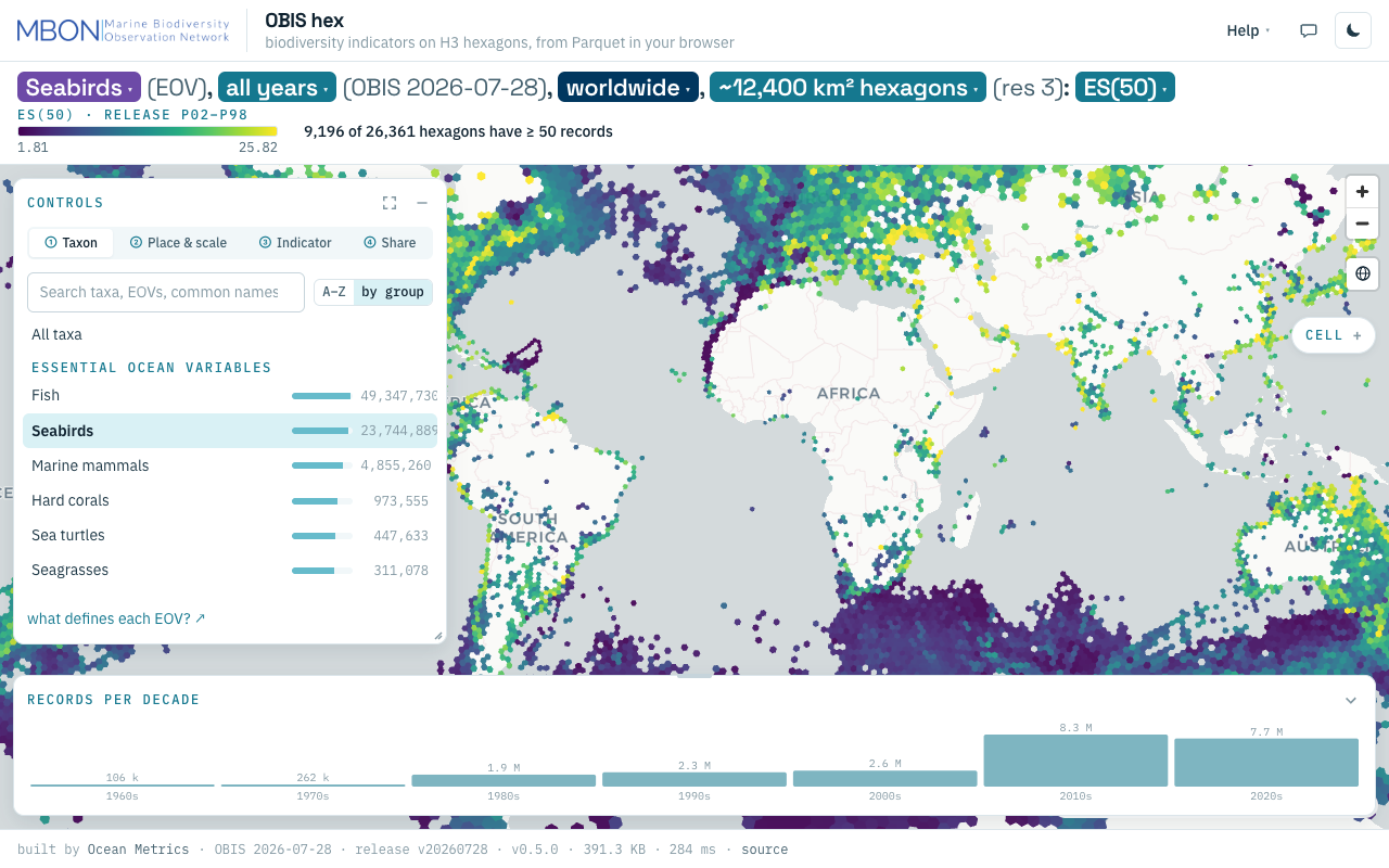
OBIS hex
Biodiversity indicators from every OBIS record on H3 hexagons, from ES(50) to records per decade, computed from Parquet in your browser with no server. The URL is the view.
Learn more