
Marine Sensitivity Toolkit
The Marine Sensitivity Toolkit catalogs species distribution models from many sources (80,791 models from 11 sources, merged into 17,763 U.S. taxon surfaces, including AquaMaps), describes them with STAC-SDM , and serves them as cloud-optimized GeoTIFF and GeoParquet alongside species sensitivity scores for offshore planning.
Indicators
Synthesizing raw observations into Essential Biodiversity Variables and Essential Ocean Variables for policy-relevant reporting.
Learn moreSTAC-SDM
A STAC extension that describes species distribution models (range, habitat-suitability or density) — what the value means, how it was modeled, which taxon, and the month or season it predicts.
Learn more
MarineSDMs
Materials and code for building marine species distribution models (SDMs) from open occurrence and environmental data.
Learn more
AquaMaps Downscaled
Downscaled AquaMaps modeled species distributions for finer-resolution marine biodiversity mapping.
Learn more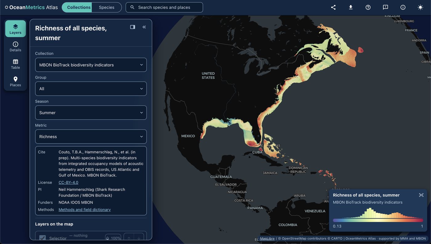
OceanMetrics Atlas
A browser map of species distribution and biodiversity model outputs, read from a STAC catalog. It opens on the AquaMaps EOV share and hosts the MBON BioTrack indicators (species richness and uncertainty from telemetry and OBIS).
Learn more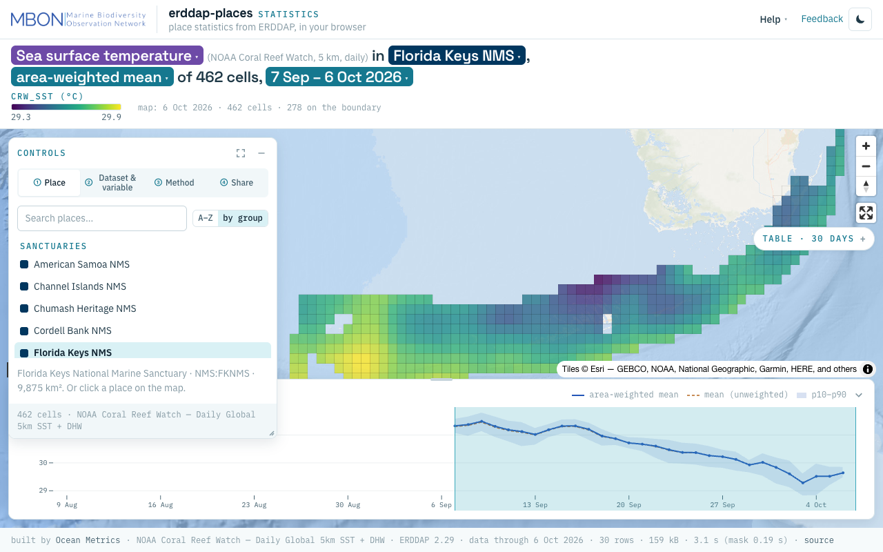
erddap-places
Place statistics from ERDDAP gridded and tabular data for sanctuaries and other marine places, computed in your browser, plus a Then vs Now lens for sanctuary sea surface temperature. The URL is the view.
Learn more