
MarineSDMs
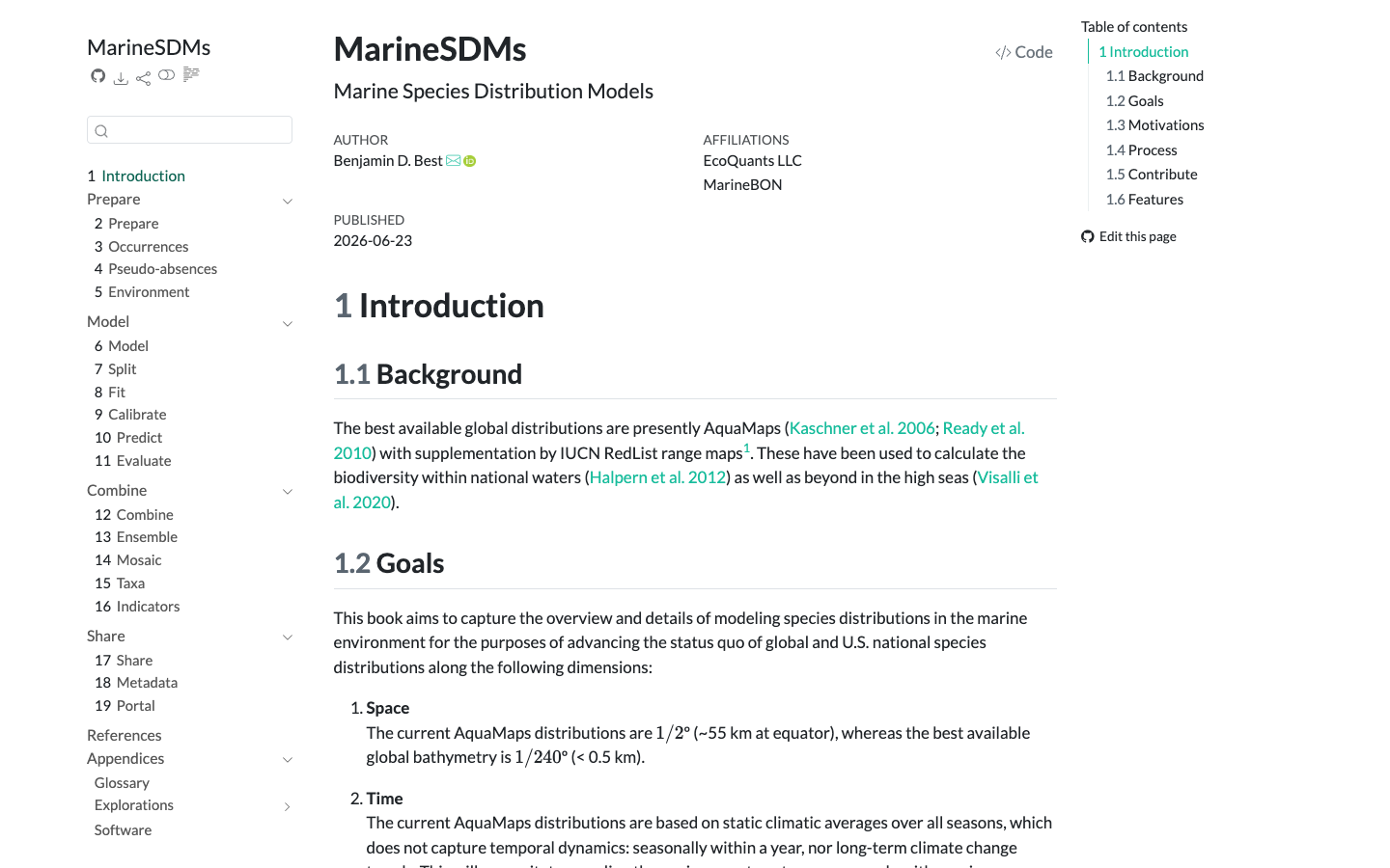
MarineSDMs collects methods and code for building marine species distribution models (SDMs) from open occurrence and environmental data.
Marine Sensitivity Toolkit
A catalog and atlas of marine species distribution models and sensitivity scores for U.S. waters, harmonized with STAC-SDM into cloud-optimized GeoTIFF and GeoParquet.
Learn moreSTAC-SDM
A STAC extension that describes species distribution models (range, habitat-suitability or density) — what the value means, how it was modeled, which taxon, and the month or season it predicts.
Learn more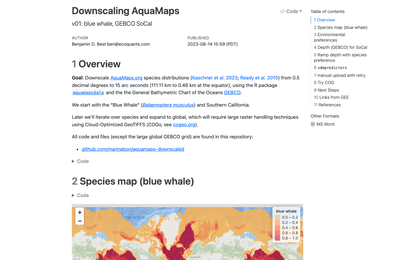
AquaMaps Downscaled
Downscaled AquaMaps modeled species distributions for finer-resolution marine biodiversity mapping.
Learn more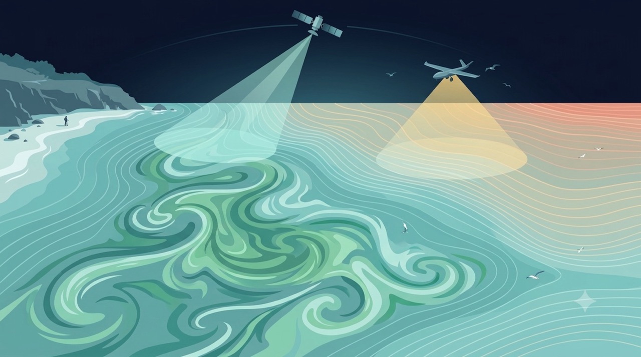
Remote Sensing
Satellites and aerial sensors resolve ocean color, temperature, and habitat extent across millions of square kilometers — scales no ship survey can match.
Learn more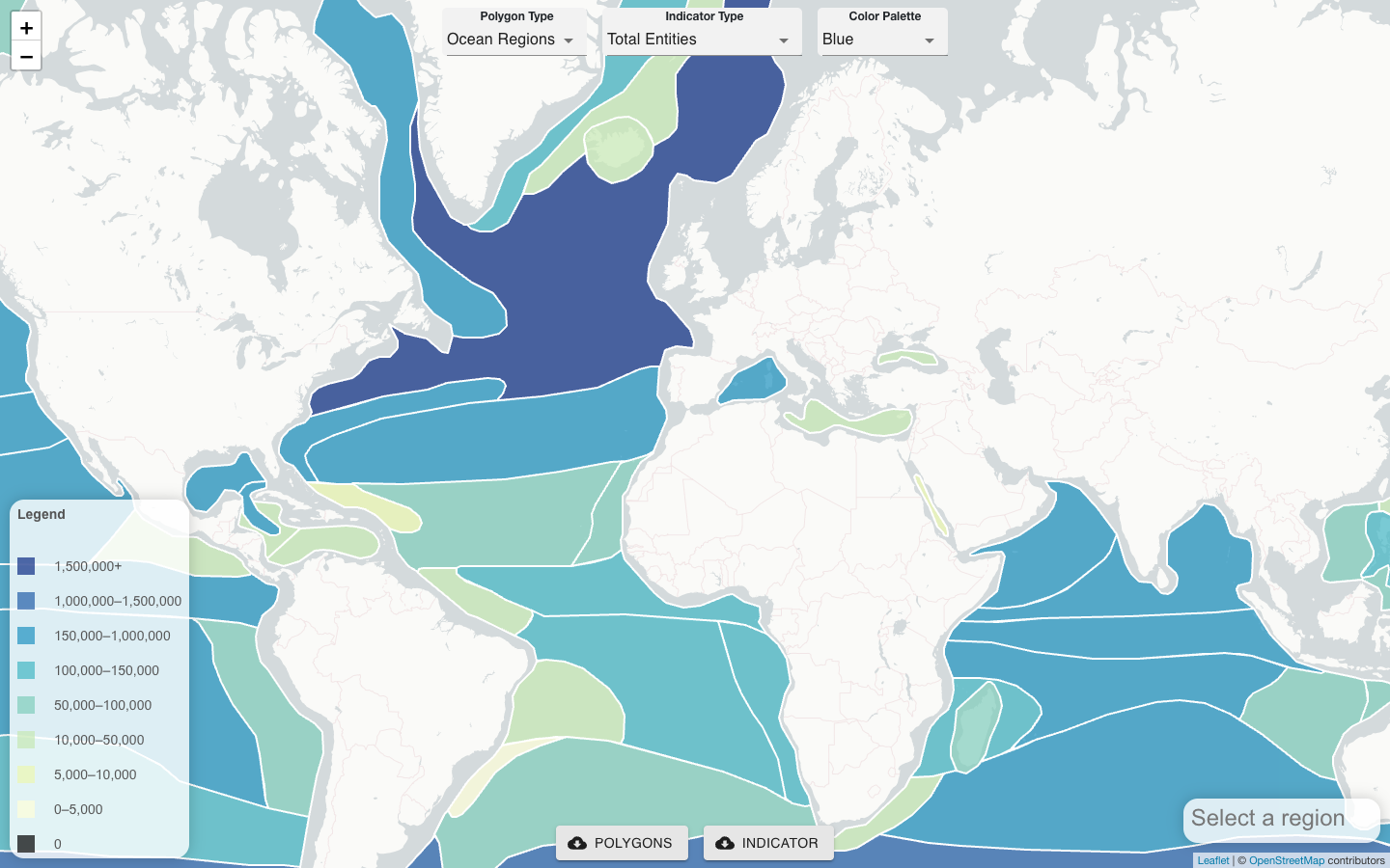
CoastWatch OBIS Indicator Explorer
Server-side tool that co-locates satellite remote sensing products, gridded model outputs, and OBIS field observations to generate biodiversity indicators for any polygon.
Learn more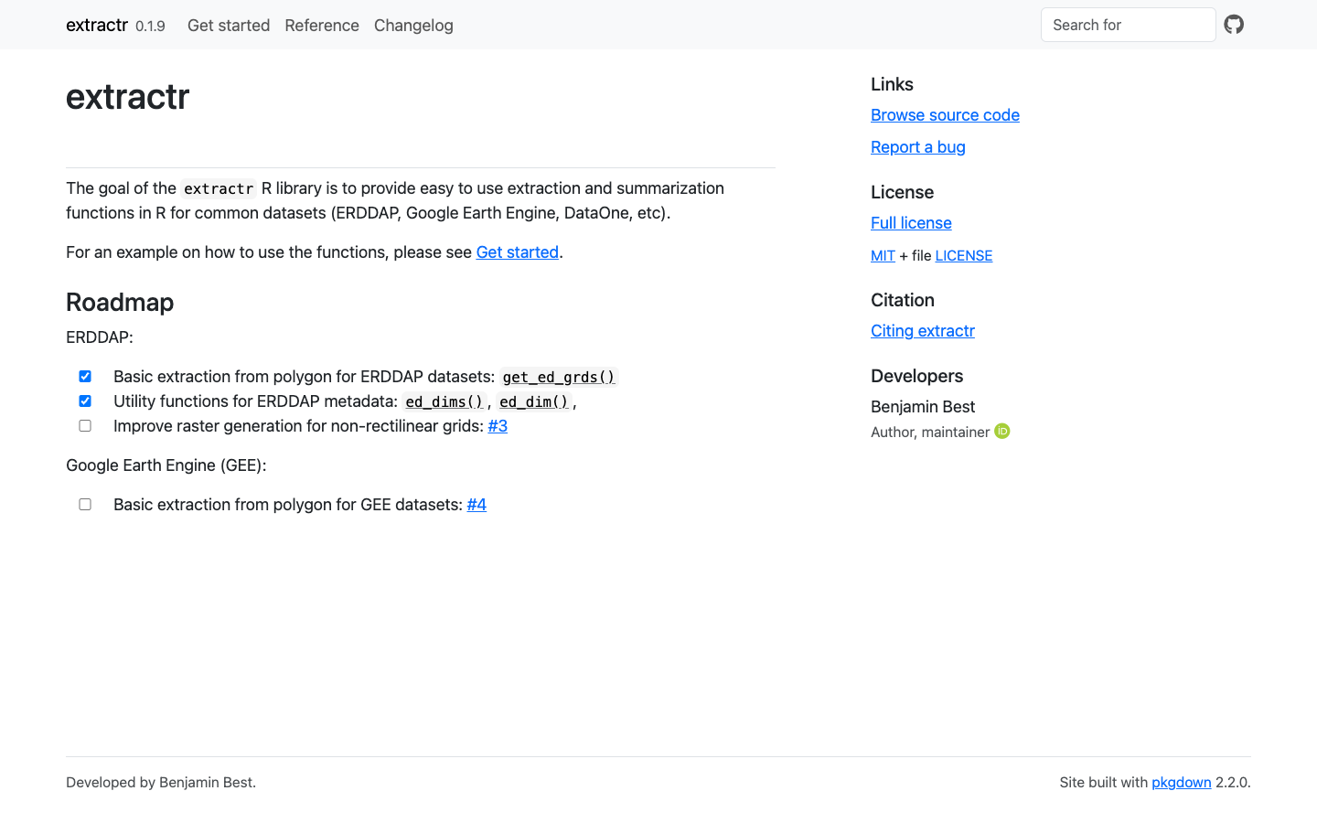
extractr
R package providing a common interface to extract and summarize gridded environmental data (ERDDAP, DataONE, and more) over a place.
Learn more