
Tool
FWRI Florida Keys NMS Data Viewer
Related across the network


Node
Southeast US MBON
Southeastern United States, integrating fieldwork and satellite observations.
Learn more Tool
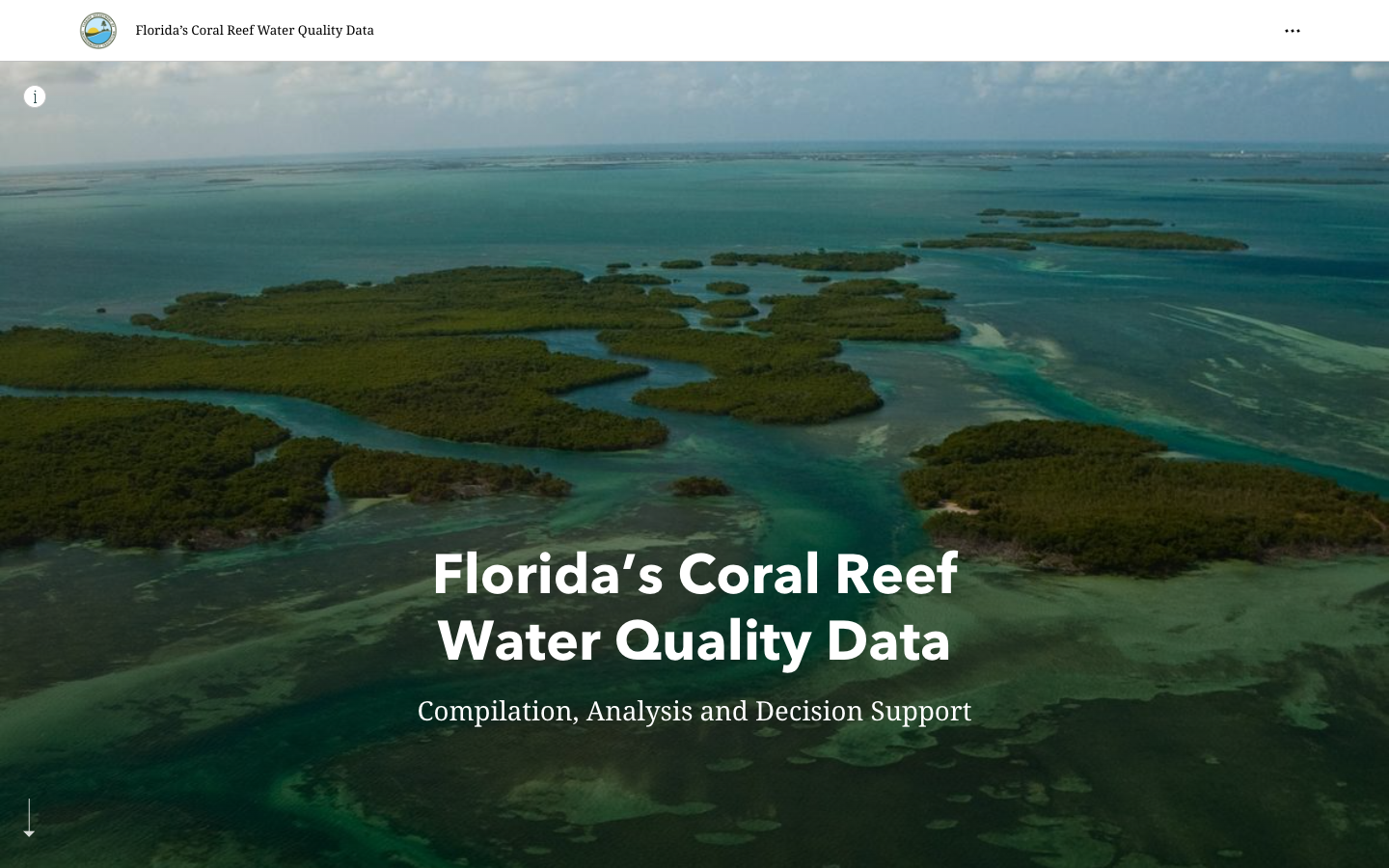
FWRI FK Water Quality Story Map
ArcGIS Story Map for water quality in the Florida Keys, developed by FWRI.
Learn more Tool
Florida Keys NMS Alert Dashboard
Early-warning dashboard combining satellite and buoy data to detect harmful algal blooms and anoxic conditions in the Florida Keys National Marine Sanctuary.
Learn more Tool
Sanctuary Watch
Web-based interactive tools for tracking ecosystem conditions, human connections, and management impacts across U.S. National Marine Sanctuaries.
Learn more Tool
CINMS Infographics
Interactive ecosystem infographics for Channel Islands National Marine Sanctuary.
Learn more Tool
Olympic Coast NMS Infographics
Interactive ecosystem infographics for the Olympic Coast National Marine Sanctuary.
Learn more