
Species distribution modeling 10 items
Content across the network sharing this tag, grouped by type.


STAC-SDM
A STAC extension that describes species distribution models (range, habitat-suitability or density) — what the value means, how it was modeled, which taxon, and the month or season it predicts.
Learn more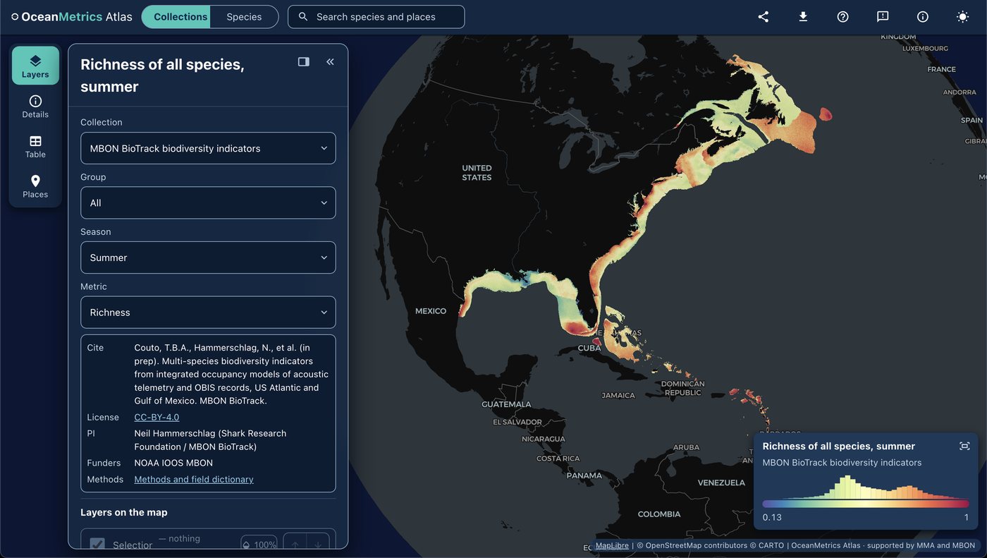
OceanMetrics Atlas
A browser map of species distribution and biodiversity model outputs, read from a STAC catalog. It opens on the AquaMaps EOV share and hosts the MBON BioTrack indicators (species richness and uncertainty from telemetry and OBIS).
Learn moreMarine Sensitivity Toolkit
A catalog and atlas of marine species distribution models and sensitivity scores for U.S. waters, harmonized with STAC-SDM into cloud-optimized GeoTIFF and GeoParquet.
Learn more
MarineSDMs
Materials and code for building marine species distribution models (SDMs) from open occurrence and environmental data.
Learn more
AquaMaps Downscaled
Downscaled AquaMaps modeled species distributions for finer-resolution marine biodiversity mapping.
Learn more
dismapr
R package with functions to interact with NOAA's Distribution Mapping and Analysis Portal (DisMAP) APIs for species distribution and range-shift data.
Learn more
CoastWatch OBIS Indicator Explorer
Server-side tool that co-locates satellite remote sensing products, gridded model outputs, and OBIS field observations to generate biodiversity indicators for any polygon.
Learn more