
Marine Protected Areas 15 items
Content across the network sharing this tag, grouped by type.

places gazetteer
One STAC catalog of marine place layers (sanctuaries, MPAs, EEZs, leases, planning areas) as GeoParquet and PMTiles, with stable place ids, per-feature licence and H3 membership for joining hexagon data by place.
Learn moreFWRI Florida Keys NMS Data Viewer
An ArcGIS dashboard by the Florida Fish and Wildlife Research Institute and MBON that maps monitoring data across the Florida Keys National Marine Sanctuary.
Learn more
Sanctuary Eco-Indicators
Multivariate ordination workflows summarizing ecological indicators across the U.S. National Marine Sanctuaries (in development).
Learn more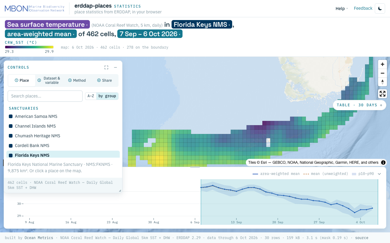
erddap-places
Place statistics from ERDDAP gridded and tabular data for sanctuaries and other marine places, computed in your browser, plus a Then vs Now lens for sanctuary sea surface temperature. The URL is the view.
Learn more
onmsR
R package providing spatial data and boundaries for the U.S. National Marine Sanctuaries.
Learn more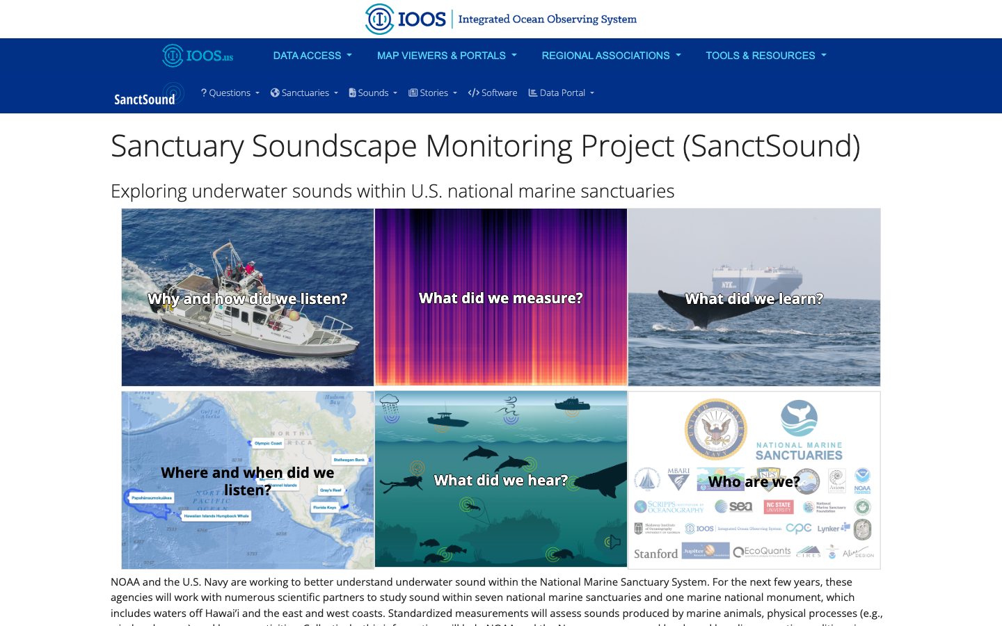
SanctSound
Sanctuary Soundscape Monitoring Project — explore underwater sound across U.S. national marine sanctuaries through illustrated question-and-answer panels.
Learn more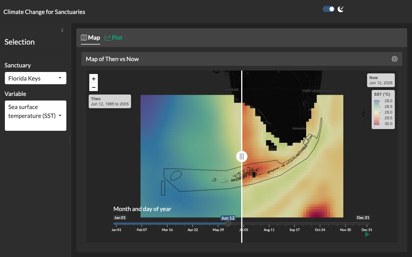
Climate Change for Sanctuaries
Shiny application with a swipeable "then vs. now" map comparing climatological reference periods to the present for each U.S. National Marine Sanctuary.
Learn more
Sanctuaries Climate Dashboard
Static flexdashboard rendering climate indicators — sea surface temperature, chlorophyll-a, pH, sea-level rise — for each U.S. National Marine Sanctuary.
Learn more
Olympic Coast NMS Infographics
Interactive ecosystem infographics for the Olympic Coast National Marine Sanctuary.
Learn more
Florida Keys ESR Infographic
Conceptual diagram as interactive infographic for the Florida Keys Sanctuary associated with Ecosystem Status Report (ESR).
Learn more
CINMS Infographics
Interactive ecosystem infographics for Channel Islands National Marine Sanctuary.
Learn more
Florida Keys NMS Alert Dashboard
Early-warning dashboard combining satellite and buoy data to detect harmful algal blooms and anoxic conditions in the Florida Keys National Marine Sanctuary.
Learn more
Sanctuary Watch
Web-based interactive tools for tracking ecosystem conditions, human connections, and management impacts across U.S. National Marine Sanctuaries.
Learn more