
Package 12 items
Content across the network sharing this tag, grouped by type.
STAC-SDM
A STAC extension that describes species distribution models (range, habitat-suitability or density) — what the value means, how it was modeled, which taxon, and the month or season it predicts.
Learn moreplaces gazetteer
One STAC catalog of marine place layers (sanctuaries, MPAs, EEZs, leases, planning areas) as GeoParquet and PMTiles, with stable place ids, per-feature licence and H3 membership for joining hexagon data by place.
Learn morephytoclass
An R package and Shiny app that estimate phytoplankton group biomass from HPLC pigment concentrations, giving pigment-derived taxonomic occurrence data from the Florida Keys cruises.
Learn more
Global Marine Biodiversity Indicators
Prototype global marine biodiversity indicators derived from open occurrence data.
Learn more
py-dwc-viz
Python tool for visualizing Darwin Core biodiversity occurrence data.
Learn more
onmsR
R package providing spatial data and boundaries for the U.S. National Marine Sanctuaries.
Learn more
dismapr
R package with functions to interact with NOAA's Distribution Mapping and Analysis Portal (DisMAP) APIs for species distribution and range-shift data.
Learn more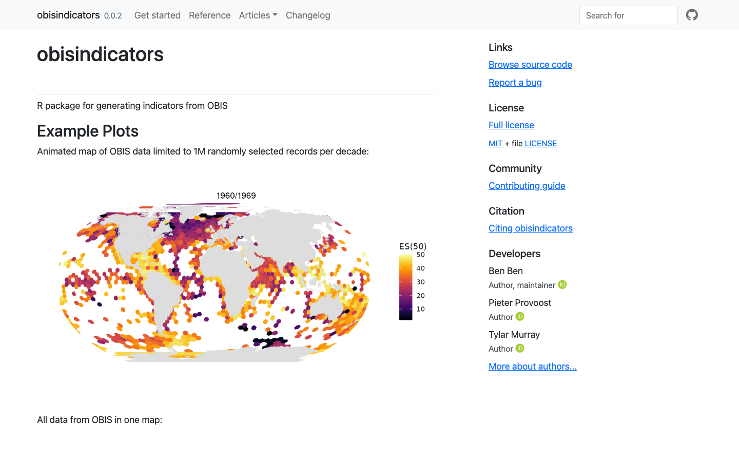
obisindicators
R package for generating biodiversity indicators — including ES(50) estimated species richness — from OBIS occurrence data.
Learn more
ecoidx
R package implementing NOAA Integrated Ecosystem Assessment (IEA) indicator standards — workflows and visualizations for marine ecological indicators.
Learn more
extractr
R package providing a common interface to extract and summarize gridded environmental data (ERDDAP, DataONE, and more) over a place.
Learn more
seascapeR
An R package and prototype interface to explore Seascapes in different marine regions, including U.S. National Marine Sanctuaries.
Learn more
Infographiq
JavaScript and R method for producing clickable scientific art that acts as an interface for users to explore marine biodiversity data.
Learn more