
Ocean Metrics 6 items
Content across the network sharing this tag, grouped by type.
STAC-SDM
A STAC extension that describes species distribution models (range, habitat-suitability or density) — what the value means, how it was modeled, which taxon, and the month or season it predicts.
Learn moreplaces gazetteer
One STAC catalog of marine place layers (sanctuaries, MPAs, EEZs, leases, planning areas) as GeoParquet and PMTiles, with stable place ids, per-feature licence and H3 membership for joining hexagon data by place.
Learn more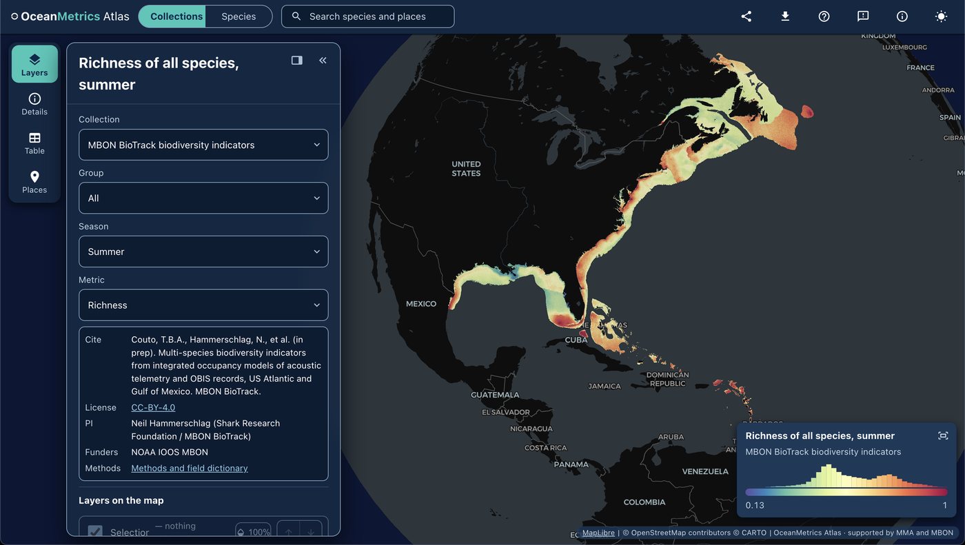
OceanMetrics Atlas
A browser map of species distribution and biodiversity model outputs, read from a STAC catalog. It opens on the AquaMaps EOV share and hosts the MBON BioTrack indicators (species richness and uncertainty from telemetry and OBIS).
Learn moreMarine Sensitivity Toolkit
A catalog and atlas of marine species distribution models and sensitivity scores for U.S. waters, harmonized with STAC-SDM into cloud-optimized GeoTIFF and GeoParquet.
Learn more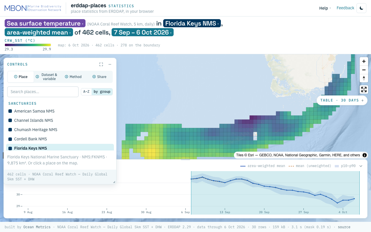
erddap-places
Place statistics from ERDDAP gridded and tabular data for sanctuaries and other marine places, computed in your browser, plus a Then vs Now lens for sanctuary sea surface temperature. The URL is the view.
Learn more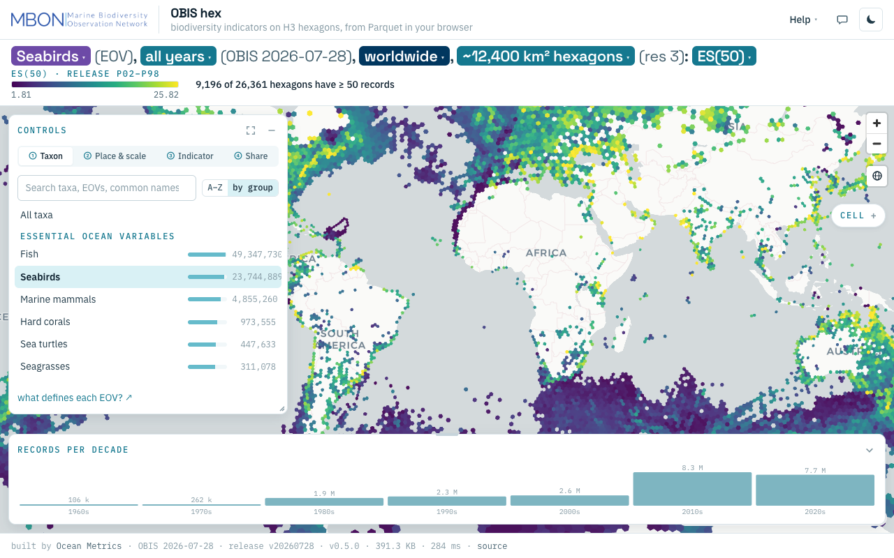
OBIS hex
Biodiversity indicators from every OBIS record on H3 hexagons, from ES(50) to records per decade, computed from Parquet in your browser with no server. The URL is the view.
Learn more