
Oceanographic Indicators of Seasonal Variability in the Guajira Upwelling System and Their Relationship with Phytoplankton
Oceanographic Indicators of Seasonal Variability in the Guajira Upwelling System and Their Relationship with Phytoplankton . Oceans. doi:10.3390/oceans7040062
The Guajira Upwelling System (GUS) is located between 10–12.5° N and 61–75.5° W in the Southern–Central Caribbean Sea. This study examines its spatial and seasonal variability using upwelling indices derived from surface differences in temperature, salinity, density, and absolute dynamic topography between the GUS and a nearby Caribbean region (78–68° W, 10–16° N) not affected by coastal upwelling. Weekly time series from 1998 to 2022 were analyzed. The difference-based indices were compared with Ekman transport, a conventional proxy for upwelling intensity, and with satellite-derived chlorophyll-a to evaluate the phytoplankton response. Seasonal cycles were further examined at four representative grid points along the system. Among the indices, sea surface temperature most effectively delineated the spatial extent and seasonal variability of the GUS. Comparisons with chlorophyll-a revealed a strong upwelling–biomass relationship in the northern sector (east of 73.5° W), whereas productivity in the southern sector was not primarily driven by coastal upwelling. Correlation maps indicated that the weakening of upwelling influence coincided with the region affected by the Magdalena River plume.

Pole to Pole Americas
A network of networks spanning the Americas.
Learn more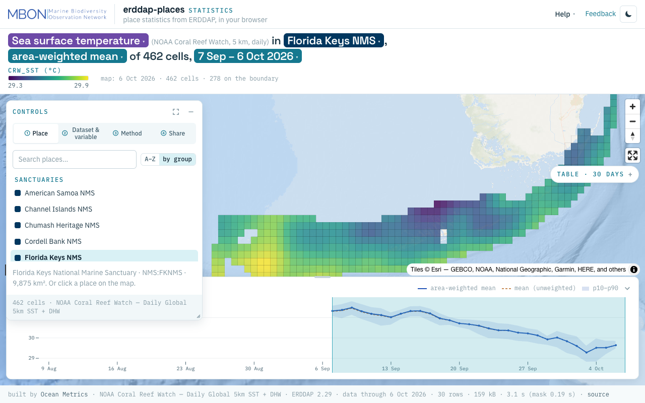
erddap-places
Place statistics from ERDDAP gridded and tabular data for sanctuaries and other marine places, computed in your browser, plus a Then vs Now lens for sanctuary sea surface temperature. The URL is the view.
Learn moreMarine megafauna select pelagic habitats in a dynamic ocean
Ben D’Antonio et al. · Landscape Ecology
Read paperSatellite sensor requirements for monitoring essential biodiversity variables of coastal ecosystems
Frank E. Muller-Karger et al. · Ecological Applications
Read paper
Remote Sensing
Satellites and aerial sensors resolve ocean color, temperature, and habitat extent across millions of square kilometers — scales no ship survey can match.
Learn more
Indicators & Data Management
Raw observations become decision-relevant information through synthesis into Essential Ocean Variables, open data pipelines, and indicators that managers and policymakers can act on.
Learn more