
Cloud-based satellite remote sensing for enhancing seagrass monitoring and ecosystem management
Cloud-based satellite remote sensing for enhancing seagrass monitoring and ecosystem management . ISPRS Journal of Photogrammetry and Remote Sensing. doi:10.1016/j.isprsjprs.2025.06.034

Southeast US MBON
Southeastern United States, integrating fieldwork and satellite observations.
Learn more
Remote Sensing
Satellites and aerial sensors resolve ocean color, temperature, and habitat extent across millions of square kilometers — scales no ship survey can match.
Learn more
extractr
R package providing a common interface to extract and summarize gridded environmental data (ERDDAP, DataONE, and more) over a place.
Learn more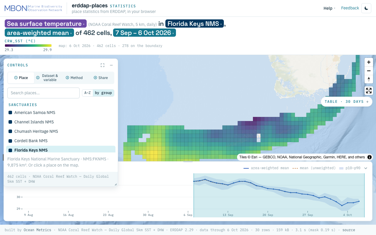
erddap-places
Place statistics from ERDDAP gridded and tabular data for sanctuaries and other marine places, computed in your browser, plus a Then vs Now lens for sanctuary sea surface temperature. The URL is the view.
Learn more
AquaMaps Downscaled
Downscaled AquaMaps modeled species distributions for finer-resolution marine biodiversity mapping.
Learn more
MarineSDMs
Materials and code for building marine species distribution models (SDMs) from open occurrence and environmental data.
Learn more