
Comparing Cloud Mask Products for Seagrass Mapping Over Sentinel‐2 Imagery: Toward a First National Seagrass Map for Venezuela
Comparing Cloud Mask Products for Seagrass Mapping Over Sentinel‐2 Imagery: Toward a First National Seagrass Map for Venezuela . Journal of Geophysical Research: Machine Learning and Computation. doi:10.1029/2024JH000559
Despite providing many valuable ecosystem services, seagrasses are a threatened habitat and their global distribution is not fully known. For example, Venezuela lacks a national seagrass map. An established regional mapping approach for seagrass exists for the Google Earth Engine (GEE) platform, but requires a long time window to obtain sufficient data to overcome cloud and other challenges. Recently, GEE has released a Cloud Score+ quality band product for the purpose of cloud masking. Cloud masking could potentially reduce the time window needed for a representative multitemporal composite, which would allow for temporal analyses. We compare the performance of Cloud Score+ derived products against previously established multitemporal image composites acquired in different time ranges, and the ACOLITE‐processed single image composite. The Sentinel‐2 (S2) Level‐1C (L1C) imagery for the whole Venezuelan coastline was processed following three different approaches: (a) using a multitemporal composition of the full S2 L1C archive available and processed in GEE using the Dark Object Subtraction; (b) integrating Cloud Score+ data set into the previous approach; and (c) using a single‐image offline approach applying ACOLITE atmospheric correction. Additional raster features were generated and a two‐step classification approach was performed with five classes, namely sand, seagrass, turbid water, deep water, and coral, and bootstrapped 20 times. Quantitatively, the performance within the Cloud Score+ derived products were largely similar. While the full archive approach had the best quantitative results, the ACOLITE approach produced the best maps qualitatively. With this, we produced the first national seagrass map for Venezuela.

Southeast US MBON
Southeastern United States, integrating fieldwork and satellite observations.
Learn more
Remote Sensing
Satellites and aerial sensors resolve ocean color, temperature, and habitat extent across millions of square kilometers — scales no ship survey can match.
Learn more
extractr
R package providing a common interface to extract and summarize gridded environmental data (ERDDAP, DataONE, and more) over a place.
Learn more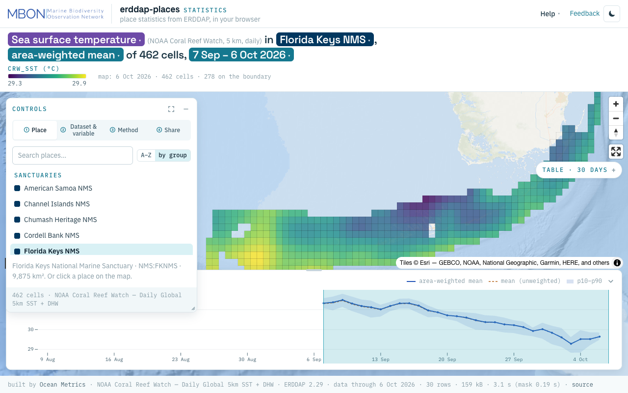
erddap-places
Place statistics from ERDDAP gridded and tabular data for sanctuaries and other marine places, computed in your browser, plus a Then vs Now lens for sanctuary sea surface temperature. The URL is the view.
Learn more
AquaMaps Downscaled
Downscaled AquaMaps modeled species distributions for finer-resolution marine biodiversity mapping.
Learn more
MarineSDMs
Materials and code for building marine species distribution models (SDMs) from open occurrence and environmental data.
Learn more