
Marine megafauna select pelagic habitats in a dynamic ocean
Marine megafauna select pelagic habitats in a dynamic ocean . Landscape Ecology. doi:10.1007/s10980-026-02428-6
Concept Pelagic Seascape classifications delineate spatially explicit water masses based on distinctive biogeochemical features. These are expected to act as dynamic habitats for marine megafauna that influence their movement. Objective Here, we test if marine megafauna respond to a free, globally consistent, publicly available pelagic Seascape data-product in ways that are consistent with habitat selection of land animals using taxa with contrasting ecologies. Methods We compiled a large satellite-tracking dataset (n = 82 individuals) comprising blue sharks ( Prionace glauca , n = 28), leatherback turtles ( Dermochelys coriacea , n = 26), and fin whales ( Balaenoptera physalus , n = 28), tagged between 2014 and 2025. We then compared their movements across the Northwest Atlantic Ocean to Seascapes to develop dynamic resource selection functions (RSFs). Results Our results confirm that pelagic Seascapes act as ecologically meaningful categorical proxies of dynamic habitats and provide evidence that broad-scale movement decisions of marine fauna are structured by interacting and co-occurring biophysical features. We also reveal how pelagic Seascapes could be used in an applied context, serving as near-real time indicators of areas where marine megafauna are more likely to occur. Conclusions This work demonstrates that three ecologically distinct species of marine megafauna select pelagic seascapes, analogous to habitat selection observed in terrestrial systems. We highlight the value of Seascapes as a simple, intuitive, and transferable framework for movement ecology, and anticipate that their application will foster new opportunities to apply concepts from landscape ecology into the pelagic marine realm.

Southeast US MBON
Southeastern United States, integrating fieldwork and satellite observations.
Learn more
BioTrack
Mapping marine biodiversity hotspots by integrating satellite and acoustic animal tracking with remotely sensed environmental data.
Learn more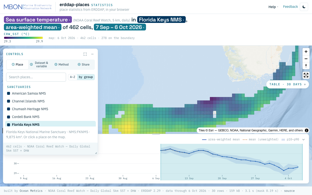
erddap-places
Place statistics from ERDDAP gridded and tabular data for sanctuaries and other marine places, computed in your browser, plus a Then vs Now lens for sanctuary sea surface temperature. The URL is the view.
Learn more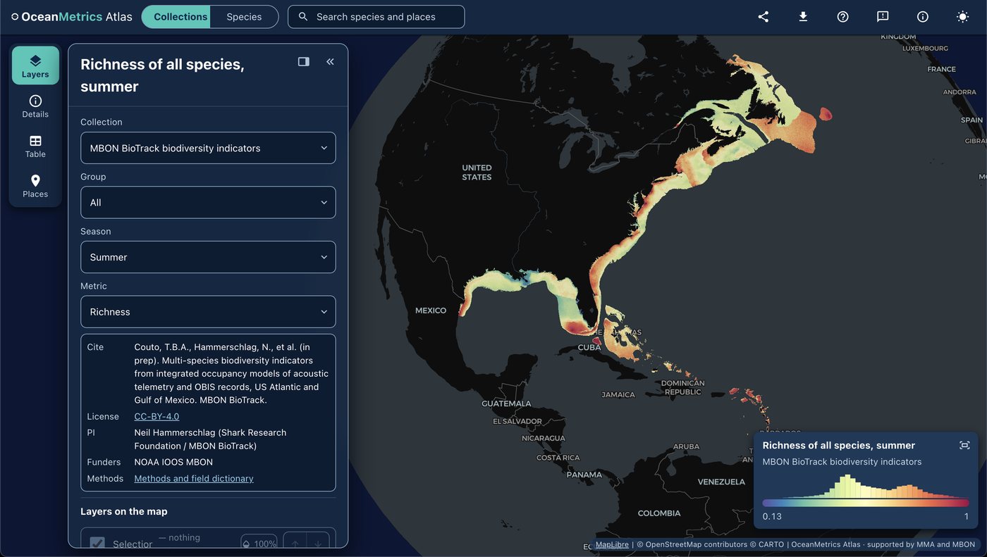
OceanMetrics Atlas
A browser map of species distribution and biodiversity model outputs, read from a STAC catalog. It opens on the AquaMaps EOV share and hosts the MBON BioTrack indicators (species richness and uncertainty from telemetry and OBIS).
Learn moreOceanographic Indicators of Seasonal Variability in the Guajira Upwelling System and Their Relationship with Phytoplankton
Jhon Carlos Salon-Barros et al. · Oceans
Read paperThe use of emerging autonomous technologies for ocean monitoring: insights and legal challenges
Aspasia Pastra et al. · Frontiers in Marine Science
Read paper