
Three decades of variability in California's giant kelp forests from the Landsat satellites
Three decades of variability in California's giant kelp forests from the Landsat satellites . Remote Sensing of Environment. doi:10.1016/j.rse.2018.06.039
Sea Surface Temperature Imagery Elucidates Spatiotemporal Nutrient Patterns for Offshore Kelp Aquaculture Siting in the Southern California Bight
Jordan N. Snyder et al. · Frontiers in Marine Science
Read paper
Remote Sensing
Satellites and aerial sensors resolve ocean color, temperature, and habitat extent across millions of square kilometers — scales no ship survey can match.
Learn more
extractr
R package providing a common interface to extract and summarize gridded environmental data (ERDDAP, DataONE, and more) over a place.
Learn more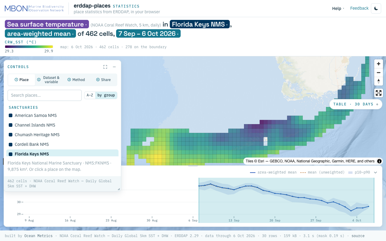
erddap-places
Place statistics from ERDDAP gridded and tabular data for sanctuaries and other marine places, computed in your browser, plus a Then vs Now lens for sanctuary sea surface temperature. The URL is the view.
Learn more
AquaMaps Downscaled
Downscaled AquaMaps modeled species distributions for finer-resolution marine biodiversity mapping.
Learn more
MarineSDMs
Materials and code for building marine species distribution models (SDMs) from open occurrence and environmental data.
Learn more