
Louisiana Deltaic Estuaries MBON
Estuarine biodiversity across coastal Louisiana's deltaic estuaries, observed as sea-level-rise sentinels.

The Louisiana Deltaic Estuaries MBON (LA MBON) — Sea Level Rise Sentinels — is the first U.S. MBON project sited in an estuarine system. Coastal Louisiana’s highly productive and diverse estuaries make it a globally significant deltaic coast and a vital sea-level-rise sentinel: it experiences some of the highest rates of coastal land loss in the world, mirroring the range of responses that estuaries elsewhere may face as seas continue to rise.
Led by Cassandra Glaspie at Louisiana State University and established in 2023, the project collates and synthesizes data from existing monitoring programs to make them more accessible and comparable, and works toward efficient methods for observing estuarine biodiversity. It pairs traditional sampling — benthic cores and taxonomic identification of macrofauna — with emerging approaches including environmental DNA (eDNA), remote sensing, and passive acoustics, validating the new methods against the traditional ones. Seasonal sampling spans long-term monitoring locations in Barataria Bay, Terrebonne Bay, and Atchafalaya Bay.
LA MBON publishes its biodiversity observations through the MBON data portal and OBIS, including benthic core macrofauna and oyster-reef associated biodiversity datasets.
Explore nearby networks
US MBON
The U.S. partnership integrating biology and ecosystem surveys with remote sensing and molecular (eDNA) methods across regional MBONs.
Learn moreMarine zooplankton community structure through environmental DNA metabarcoding in the Florida Keys, collected by the South Florida Program (NOAA/AOML) and the Marine Biodiversity Observation Network (MBON)
This data consists of counts of putative zooplankton OTUs, revealed through metabarcoding of the cytochrome oxidase I (COI) gene extracted from filtered water samples in the Florida Keys National Marine Sanctuary during 2016.
View dataset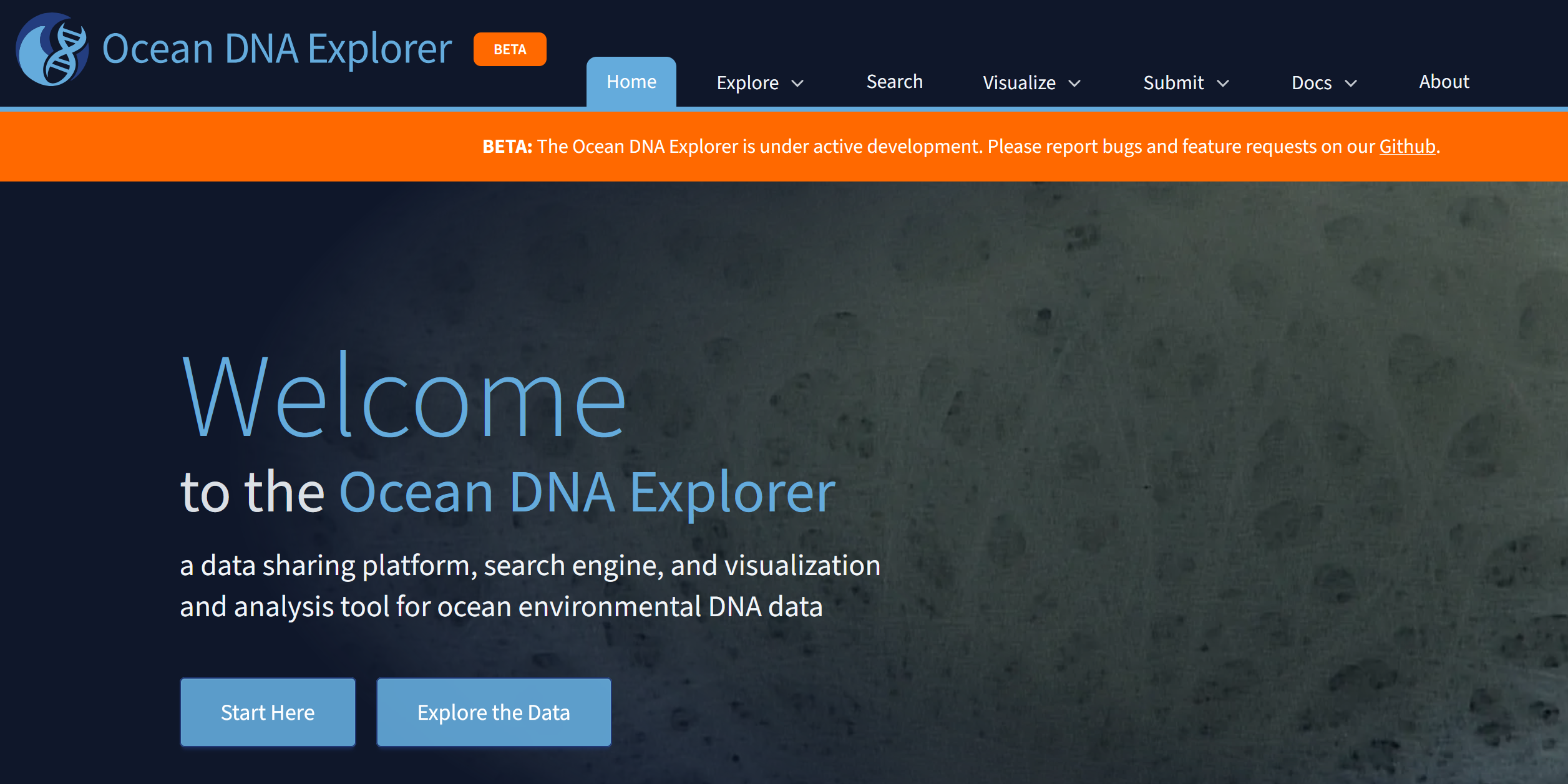
Ocean DNA Explorer
A data sharing platform, search engine, and visualization and analysis tool for ocean environmental DNA data.
Learn more
MBON Pole to Pole Data Atlas
Harmonized rocky-shore and sandy-beach biodiversity observations from Canada to Patagonia, standardized for cross-regional comparison and open access via OBIS.
Learn moreTime series of zooplankton abundance in the Florida Keys, collected by the South Florida Program (NOAA/AOML) and the Marine Biodiversity Observation Network (MBON)
Sampling is carried out bi-monthly on the R/V Walton Smith (University of Miami) as part of the South Florida Program (NOAA Atlantic Oceanographic and Meteorological Laboratory/ AOML) and the Marine Biodiversity Observation Network (MBON).
View datasetBenthic Epifauna Biomass and Abundance Data, Arctic Marine Biodiversity Observing Network (AMBON) research cruise on the Norseman II, 9 August 2015 - 3 September 2015
This dataset contains benthic epifauna biomass and abundance data collected in the Chukchi Sea, U.S. Arctic during the 9 August - 3 September 2015 Arctic Marine Biodiversity Observing Network (AMBON) research cruise aboard the vessel Norseman II.
View dataset