
Remote Sensing & Seascapes
Advancing satellite remote sensing and dynamic seascape products to map and monitor marine biodiversity and its drivers across the MBON network.
Satellite remote sensing provides synoptic, repeated observations of the ocean surface — ocean color, temperature, and derived products — that place in-situ biodiversity observations in their environmental context. Dynamic seascapes classify these fields into biologically meaningful, evolving water-mass provinces, offering a biogeographic framework for sampling design and biodiversity assessment.
The MBON Remote Sensing and Seascapes working group connects NASA and NOAA remote-sensing science with the network’s field programs: developing and sharing seascape products, evaluating new satellite missions (such as NASA’s PACE for phytoplankton community composition), and supporting open tools like SeascapeR and the Seascapes Viewer. The group meets regularly to coordinate methods and applications across regional nodes.
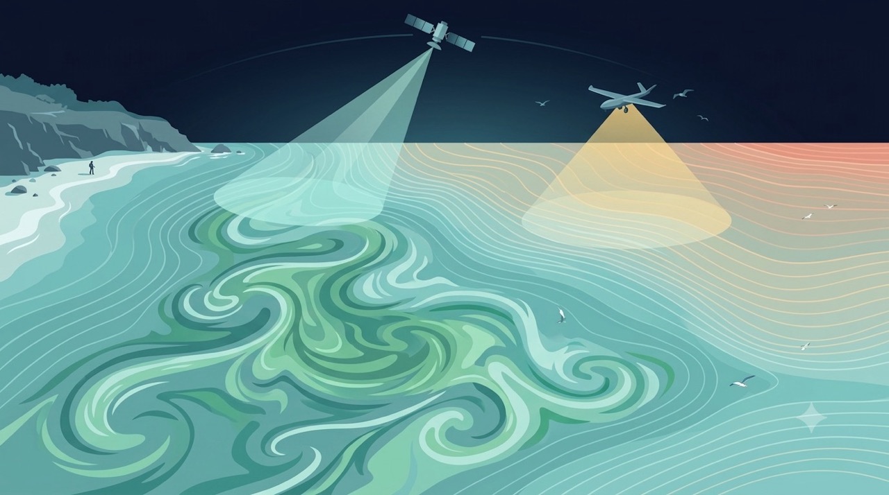
Remote Sensing
Satellites and aerial sensors resolve ocean color, temperature, and habitat extent across millions of square kilometers — scales no ship survey can match.
Learn more
seascapeR
An R package and prototype interface to explore Seascapes in different marine regions, including U.S. National Marine Sanctuaries.
Learn more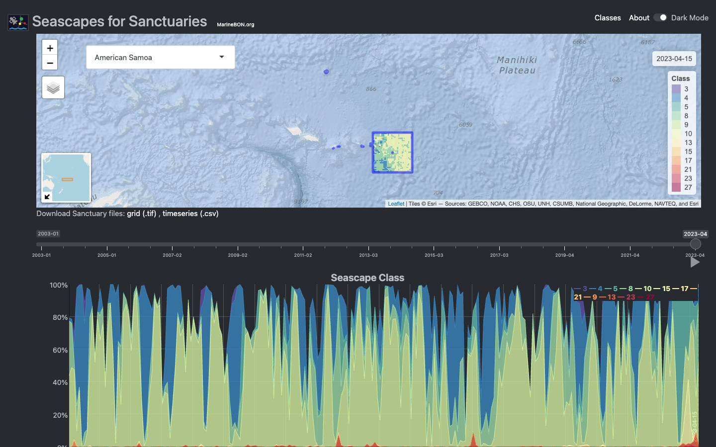
Seascapes Viewer
Interactive Shiny application for visualizing global Seascape Classes in time and space across U.S. National Marine Sanctuaries.
Learn moreDynamic Satellite Seascapes as a Biogeographic Framework for Understanding Phytoplankton Assemblages in the Florida Keys National Marine Sanctuary, United States
Enrique Montes et al. · Frontiers in Marine Science
Read paper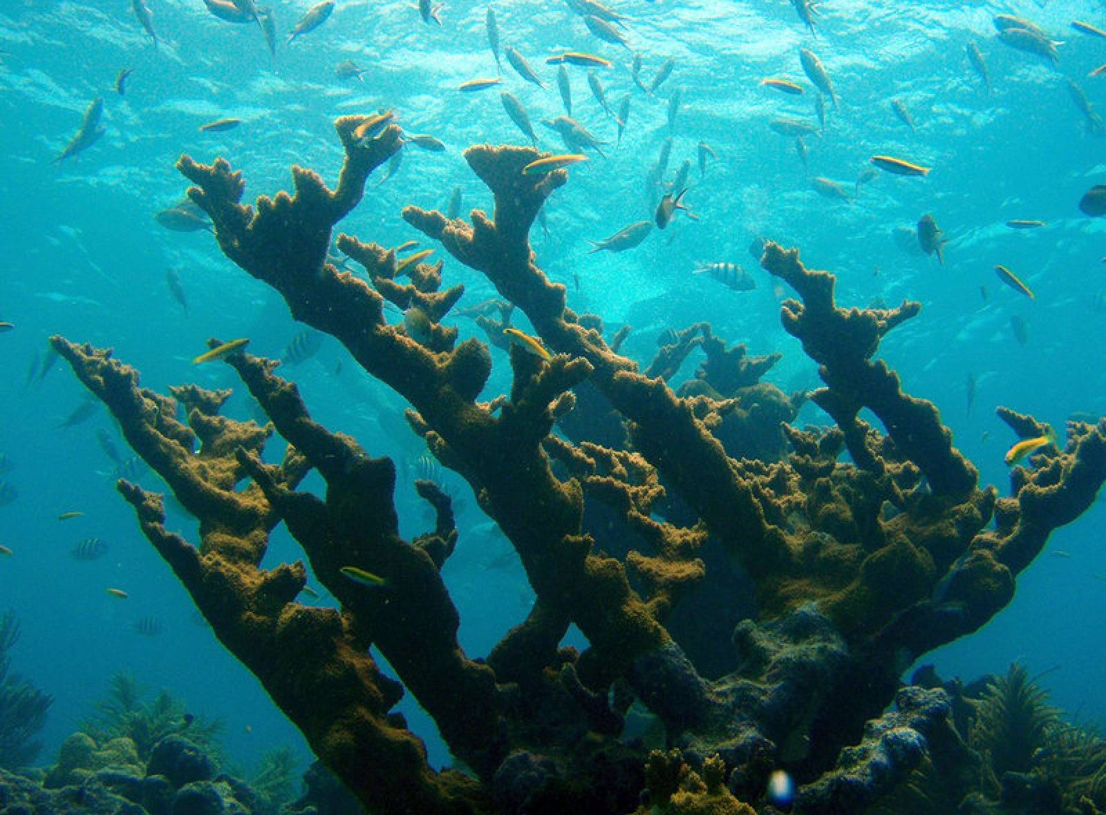
US and Global MBON Partnership: MBON Seascapes on NOAA CoastWatch
US and global MBON partnered with US IOOS, NOAA’s Oceanic and Atmospheric Research Atlantic Oceanographic and Meteorological Laboratory (AOML), and …
Read storyPhytoplankton Pigment Communities Can be Modeled Using Unique Relationships With Spectral Absorption Signatures in a Dynamic Coastal Environment: MODELING PIGMENT COMMUNITIES
D. Catlett et al. · Journal of Geophysical Research: Oceans
Read paper