
Seascapes Viewer
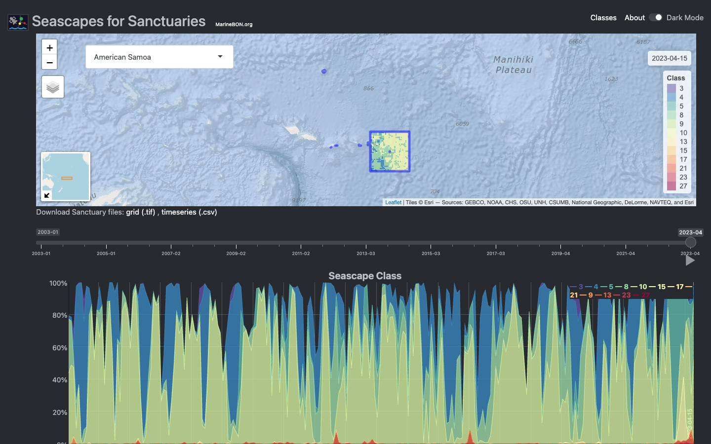
Seascapes are dynamic classes of water masses defined by surface properties obtained via satellite — sea surface temperature, salinity, chlorophyll-a, colored dissolved organic matter (CDOM), and others — combined with an ordination statistical process (Kavanaugh et al. 2016). Each class represents a distinct ocean habitat type that shifts in space and time as water masses move, making Seascapes a powerful proxy predictor for species distributions.
The Seascapes Viewer synchronizes an interactive map with a summarized time series for each National Marine Sanctuary. You can:
- Zoom in and out across space and time
- Click the play button to animate the full record
- Click any time point to update the map to that snapshot
- Select any U.S. National Marine Sanctuary from the left panel
The underlying data are served via ERDDAP and processed by the seascapeR R package, which provides functions for fetching, analyzing, and visualizing Seascapes data across NOAA Sanctuaries and other MBON regions.
References
Kavanaugh, M.T., Oliver, M.J., Chavez, F.P., Letelier, R.M., Muller-Karger, F.E., and Doney, S.C. (2016). Seascapes as a new vernacular for pelagic ocean monitoring, management and conservation. ICES Journal of Marine Science 73(7): 1839–1850. https://doi.org/10.1093/icesjms/fsw086
Remote Sensing & Seascapes
Advancing satellite remote sensing and dynamic seascape products to map and monitor marine biodiversity and its drivers across the MBON network.
Learn more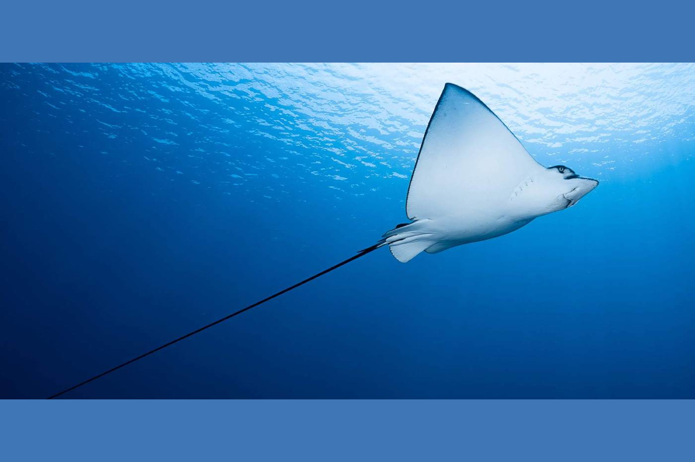
Southeast US MBON
Southeastern United States, integrating fieldwork and satellite observations.
Learn more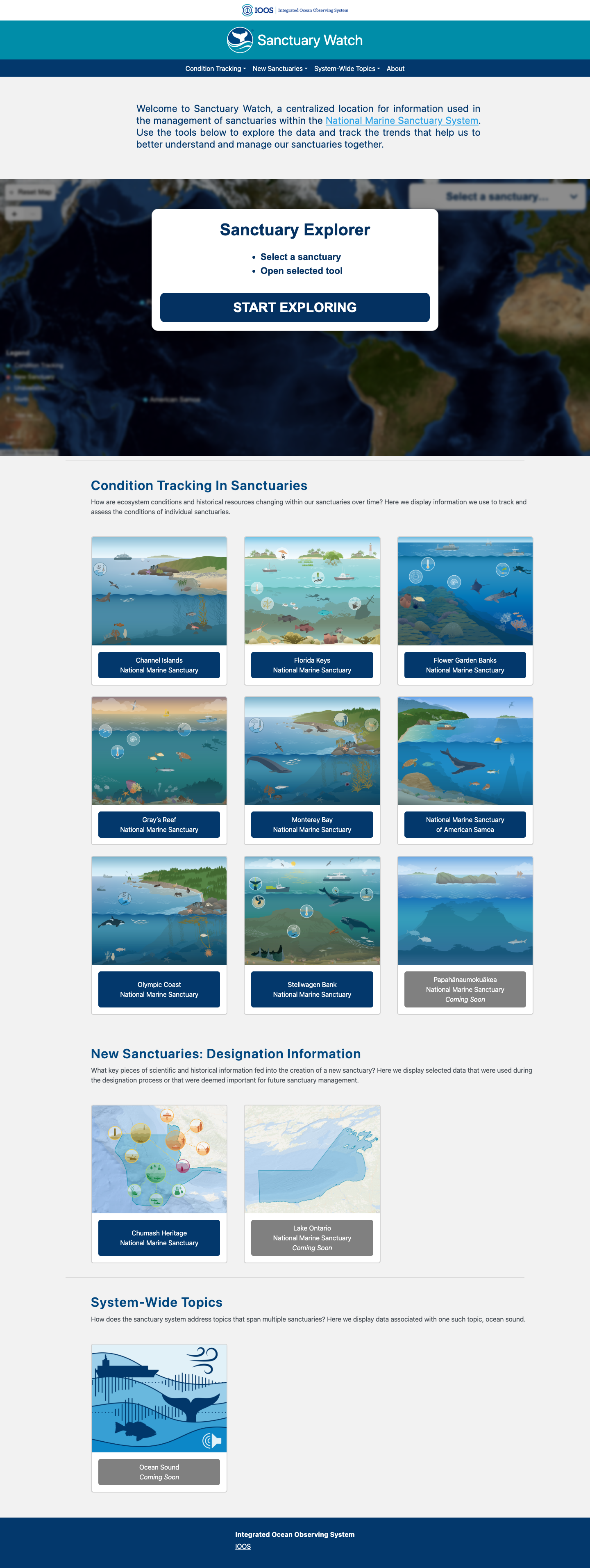
Sanctuary Watch
Web-based interactive tools for tracking ecosystem conditions, human connections, and management impacts across U.S. National Marine Sanctuaries.
Learn more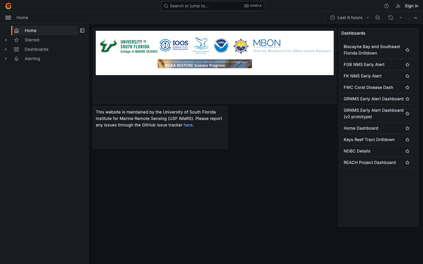
Florida Keys NMS Alert Dashboard
Early-warning dashboard combining satellite and buoy data to detect harmful algal blooms and anoxic conditions in the Florida Keys National Marine Sanctuary.
Learn more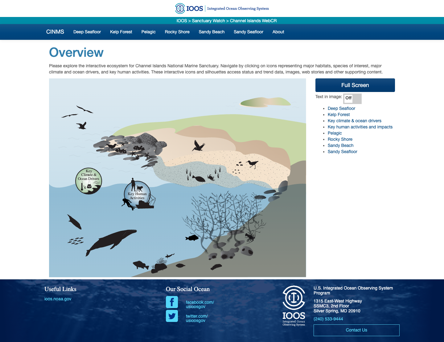
CINMS Infographics
Interactive ecosystem infographics for Channel Islands National Marine Sanctuary.
Learn more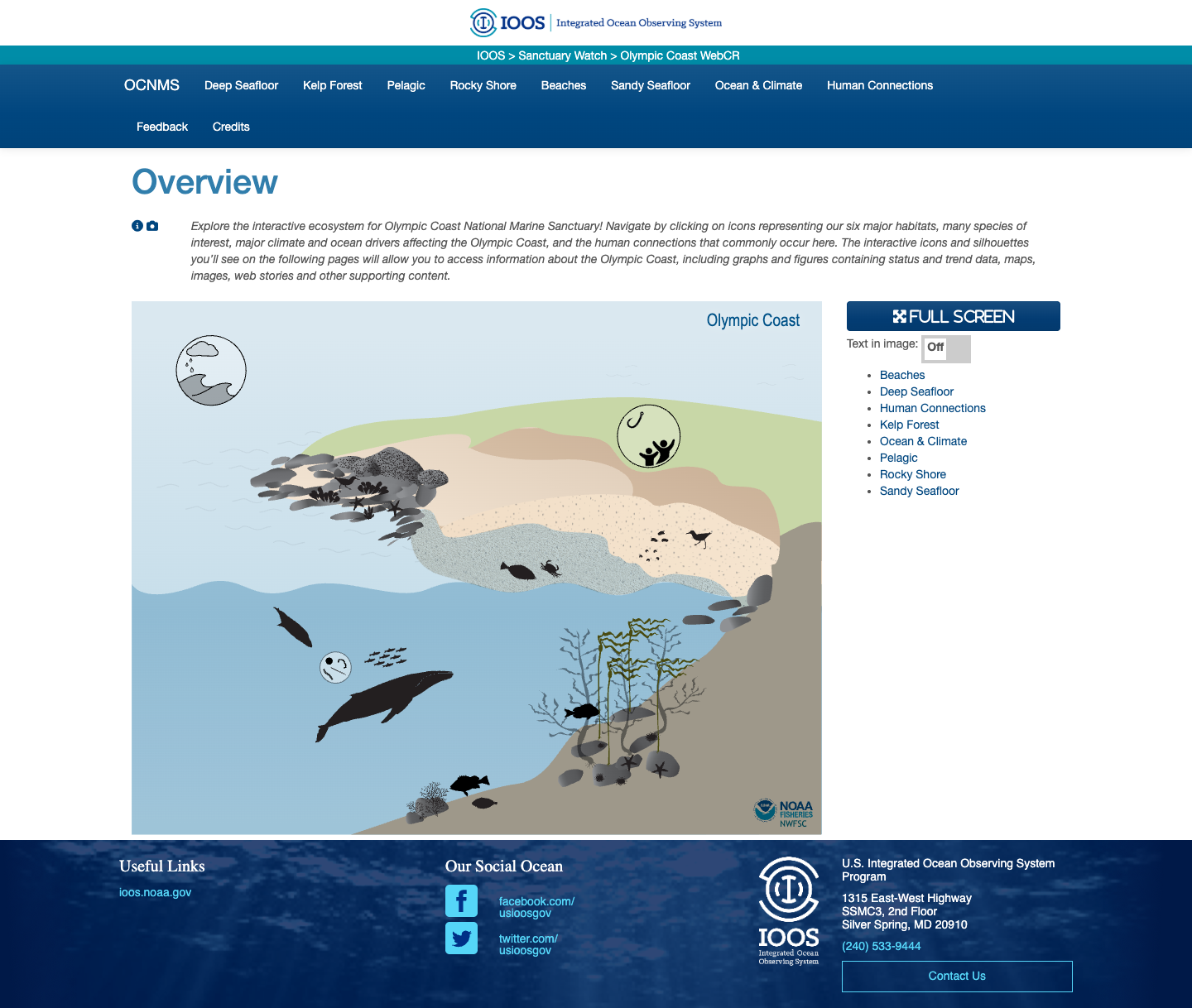
Olympic Coast NMS Infographics
Interactive ecosystem infographics for the Olympic Coast National Marine Sanctuary.
Learn more