
CoastWatch OBIS Indicator Explorer
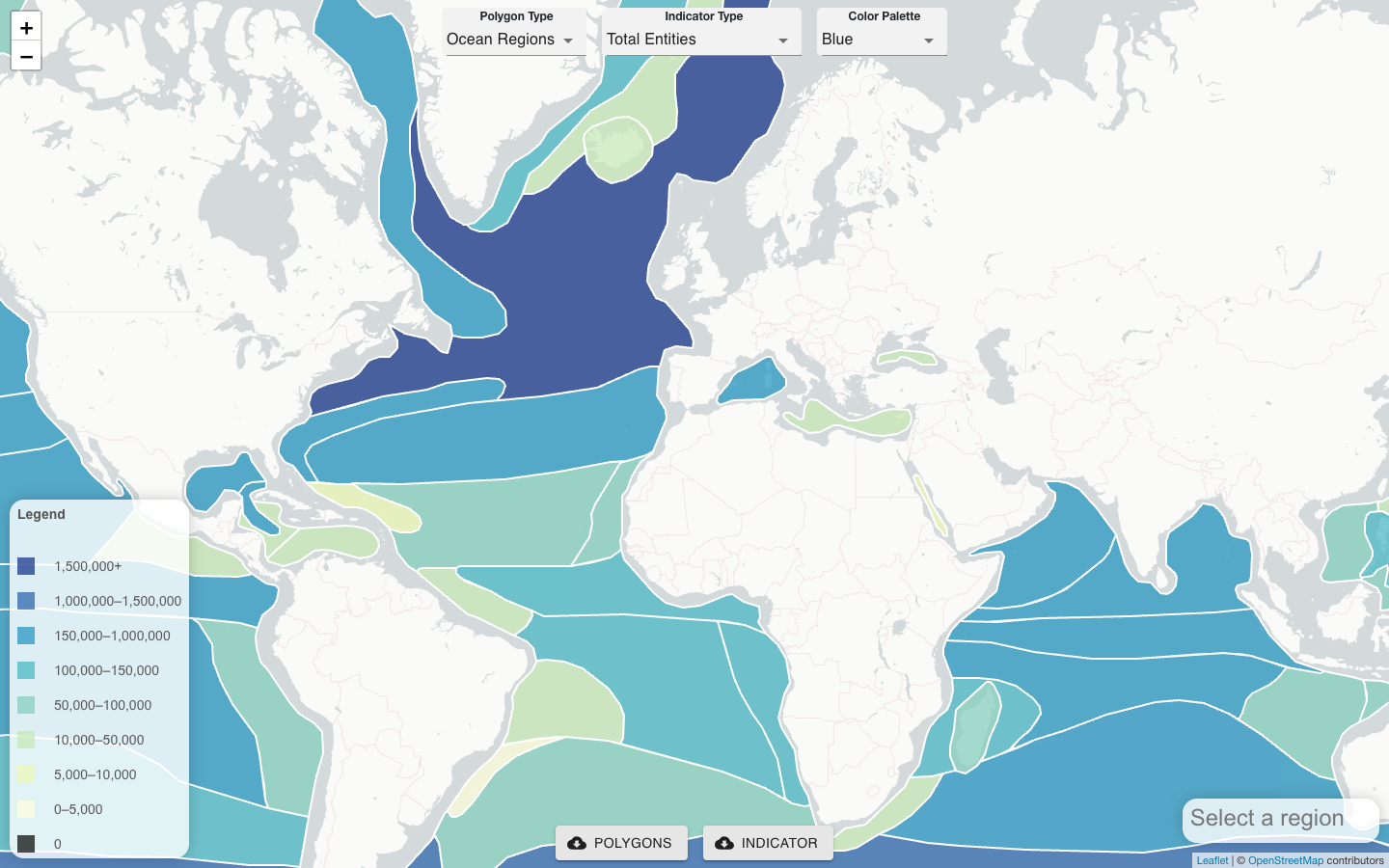
The CoastWatch OBIS Indicator Explorer (developed by J. Trinanes, NOAA CoastWatch) provides a server-side approach for extracting co-located satellite remote sensing products, gridded numerical model results, and field observations — including records from OBIS, NCEI, and Seascapes — for any user-defined polygon.
Rather than requiring users to download and align large satellite datasets locally, the tool does the heavy lifting on the server and returns pre-processed, co-located data for the target area. This makes it practical to generate biodiversity indicators for coastal management units, marine protected areas, EEZ boundaries, or any custom region.
Inputs and outputs
- Satellite products: SST, chlorophyll-a, CDOM, and other VIIRS/MODIS-derived variables
- Gridded models: numerical oceanographic model outputs (velocity, mixed layer depth, etc.)
- Field observations: species occurrence records from OBIS and NCEI
- Seascapes: dynamic habitat classification layer from MBON
For each polygon, the tool returns co-located time series that can be used directly for indicator development, species distribution modeling, or condition reporting.

Central California MBON
Monterey Bay sanctuary observing and Seascapes.
Learn moreN. California Current MBON
Upwelling-driven productivity off Oregon and Washington.
Learn moreSoutheast US MBON
Southeastern United States, integrating fieldwork and satellite observations.
Learn more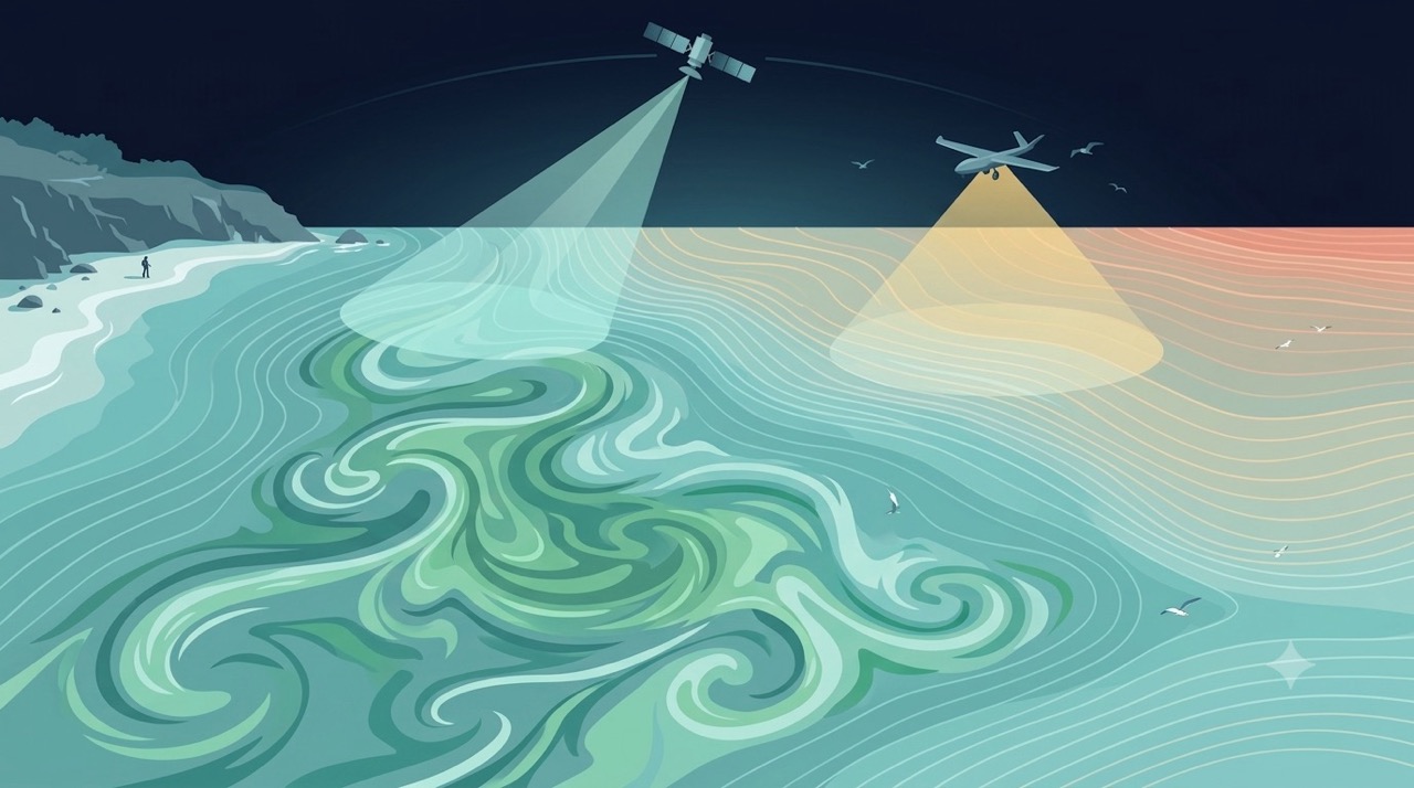
Remote Sensing
Satellites and aerial sensors resolve ocean color, temperature, and habitat extent across millions of square kilometers — scales no ship survey can match.
Learn more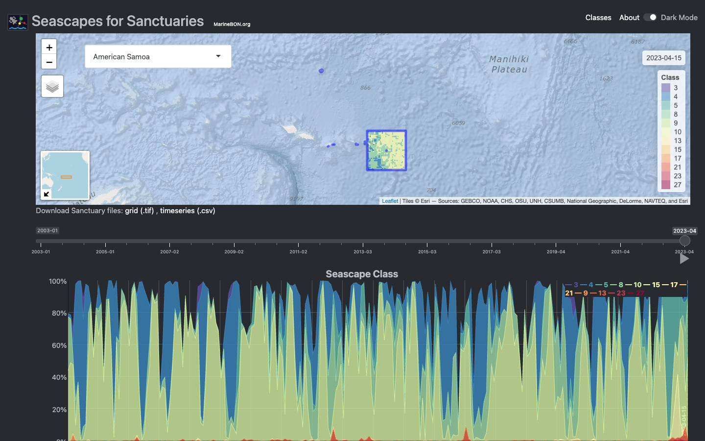
Seascapes Viewer
Interactive Shiny application for visualizing global Seascape Classes in time and space across U.S. National Marine Sanctuaries.
Learn more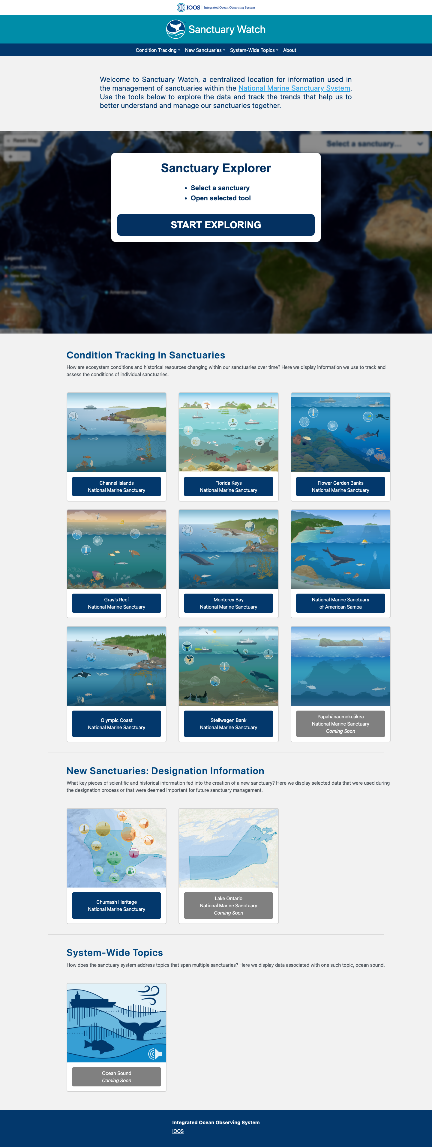
Sanctuary Watch
Web-based interactive tools for tracking ecosystem conditions, human connections, and management impacts across U.S. National Marine Sanctuaries.
Learn more