
BioTrack Telemetry Portal
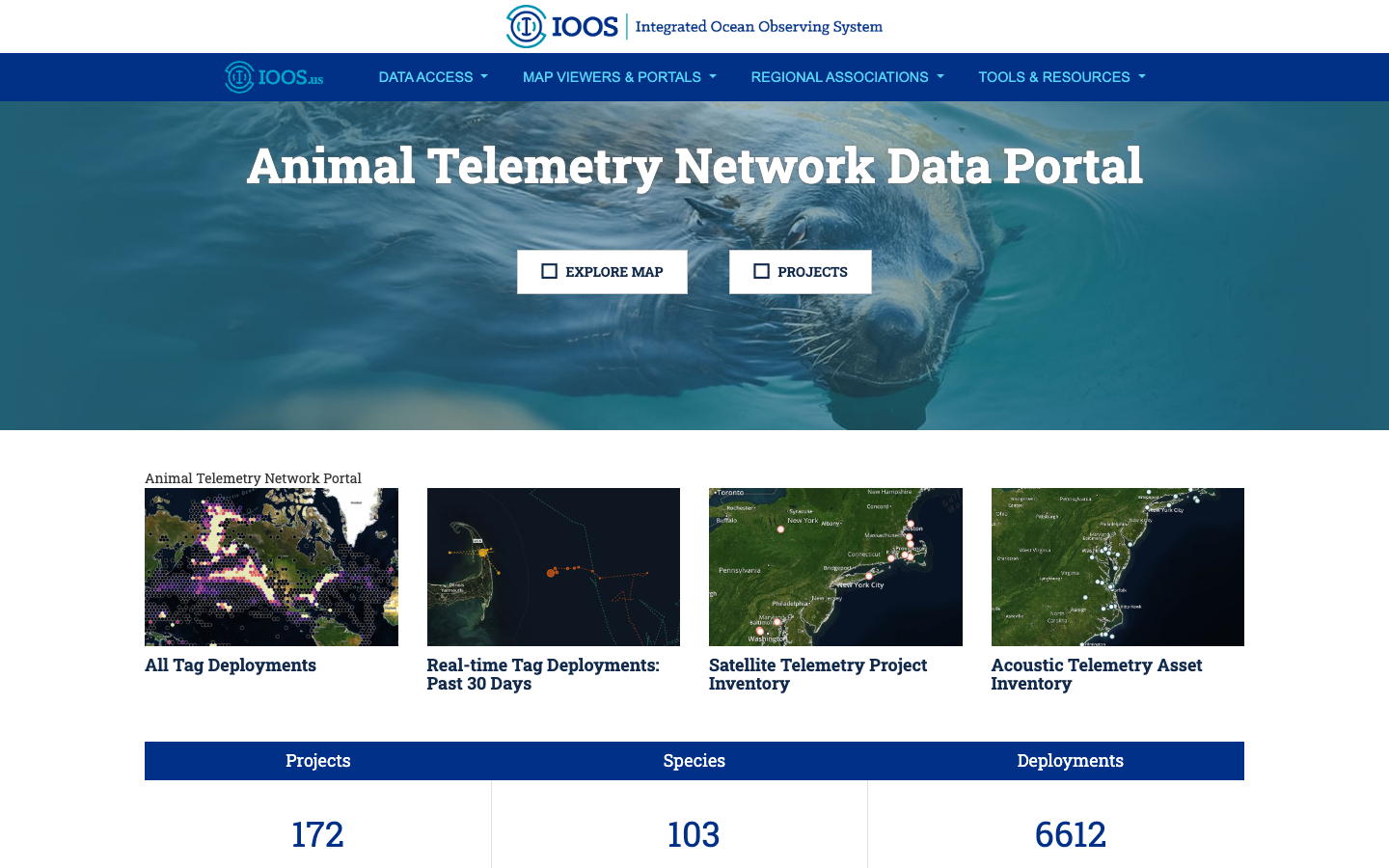
BioTrack is a collaborative MBON project led by Dr. Neil Hammerschlag (University of Miami / Shark Research Foundation) and supported by NOAA’s Animal Telemetry Network (ATN). It combines satellite and acoustic tracking of marine animals with environmental data and modeling to identify, monitor, and predict changes in marine biodiversity hotspots — then delivers those insights as practical products for decision-makers.
The project is currently focused on the waters of the U.S. North Atlantic. Newly acquired and historical tracking data from sharks, sea turtles, seabirds, marine mammals, and large fish are integrated into a single picture of biodiversity overlap and movement corridors. All data products will become publicly accessible through an interactive portal, supporting fisheries management, spatial planning, and marine conservation.
Why animal tracking reveals biodiversity
Many species share the same productive ocean habitats. Wherever mobile predators converge — offshore canyon edges, upwelling zones, seamounts — so do their prey and the rest of the food web. BioTrack uses these convergence patterns to map and forecast ecologically important areas that might otherwise be invisible to fixed-station monitoring.
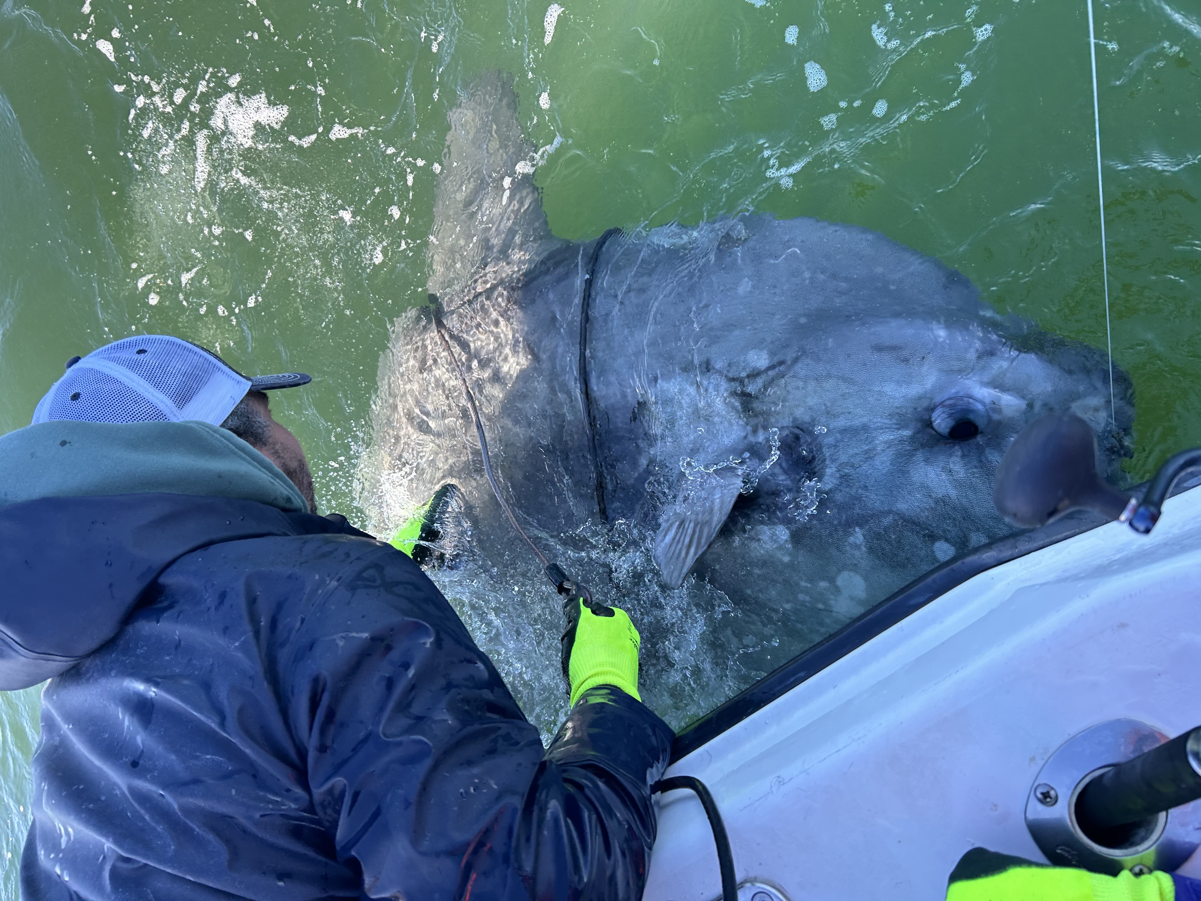
In its first tagging effort, BioTrack deployed satellite tags on ocean sunfish (Mola mola) in the North Atlantic — a species that dives across a wide depth range and aggregates near the same offshore features that support diverse communities of other species. Early data show most individuals traveling from Maine to North Carolina within short periods, and gathering near offshore canyons likely exploiting upwelling zones.
Data access
Tracks are served through the ATN Data Portal , where managers, researchers, and the public can explore species movements and their overlap with marine protected areas and human-use zones.
Supported by the U.S. Marine Biodiversity Observation Network (MBON), co-organized by NOAA, NASA, BOEM, and ONR through the National Oceanographic Partnership Program (NOPP).
North Atlantic Right Whale Monitoring
Over 30 regional experts met virtually to coordinate U.S.–Canada approaches to understanding North Atlantic right whale foraging habitat, linking zooplankton science to conservation strategy.
Read storyThe worth of giants: The consumptive and non-consumptive use value of the giant sea bass ( textitStereolepis gigas )
Ana Sofía Guerra et al. · Aquatic Conservation: Marine and Freshwater Ecosystems
Read paper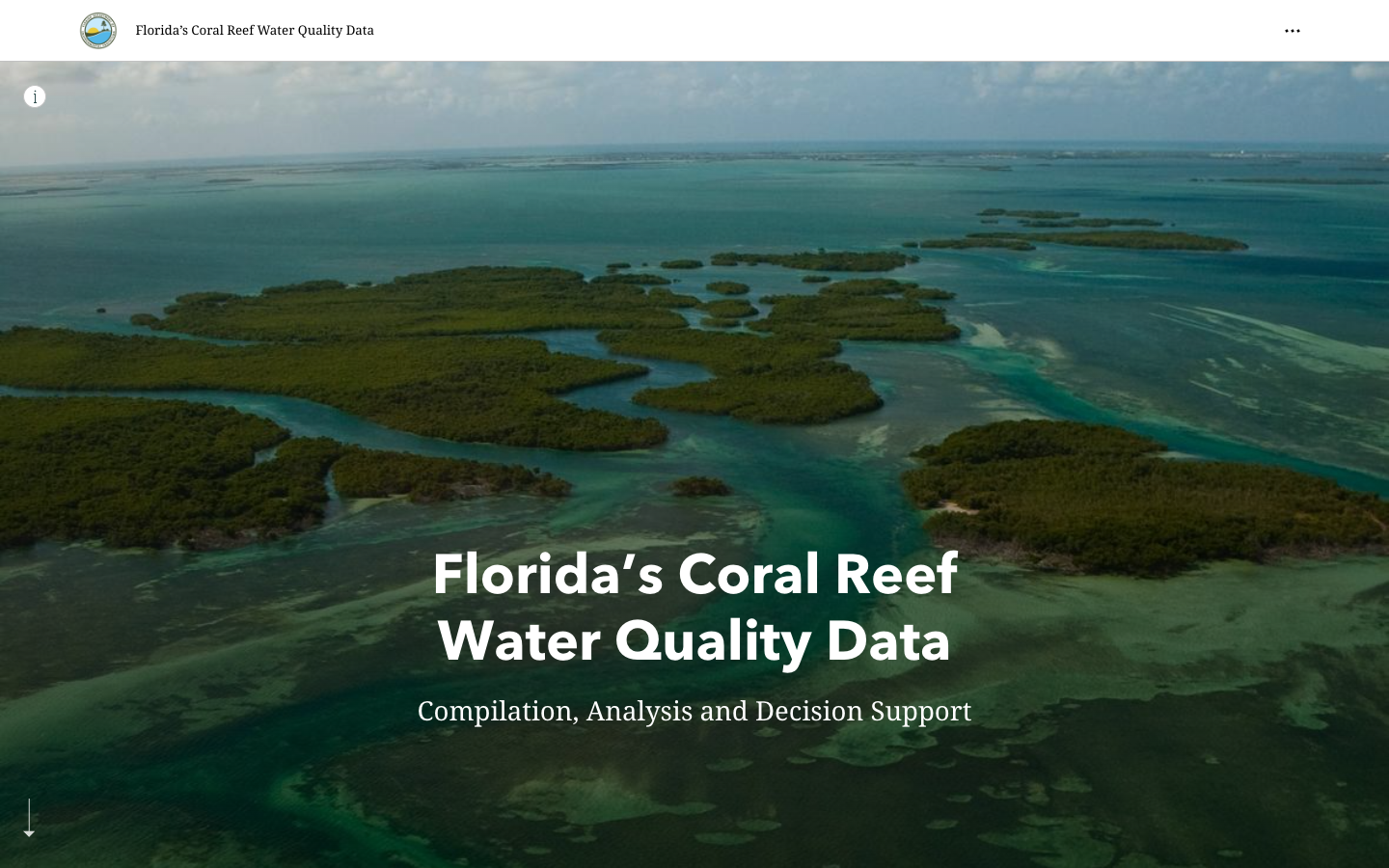
FWRI FK Water Quality Story Map
ArcGIS Story Map for water quality in the Florida Keys, developed by FWRI.
Learn more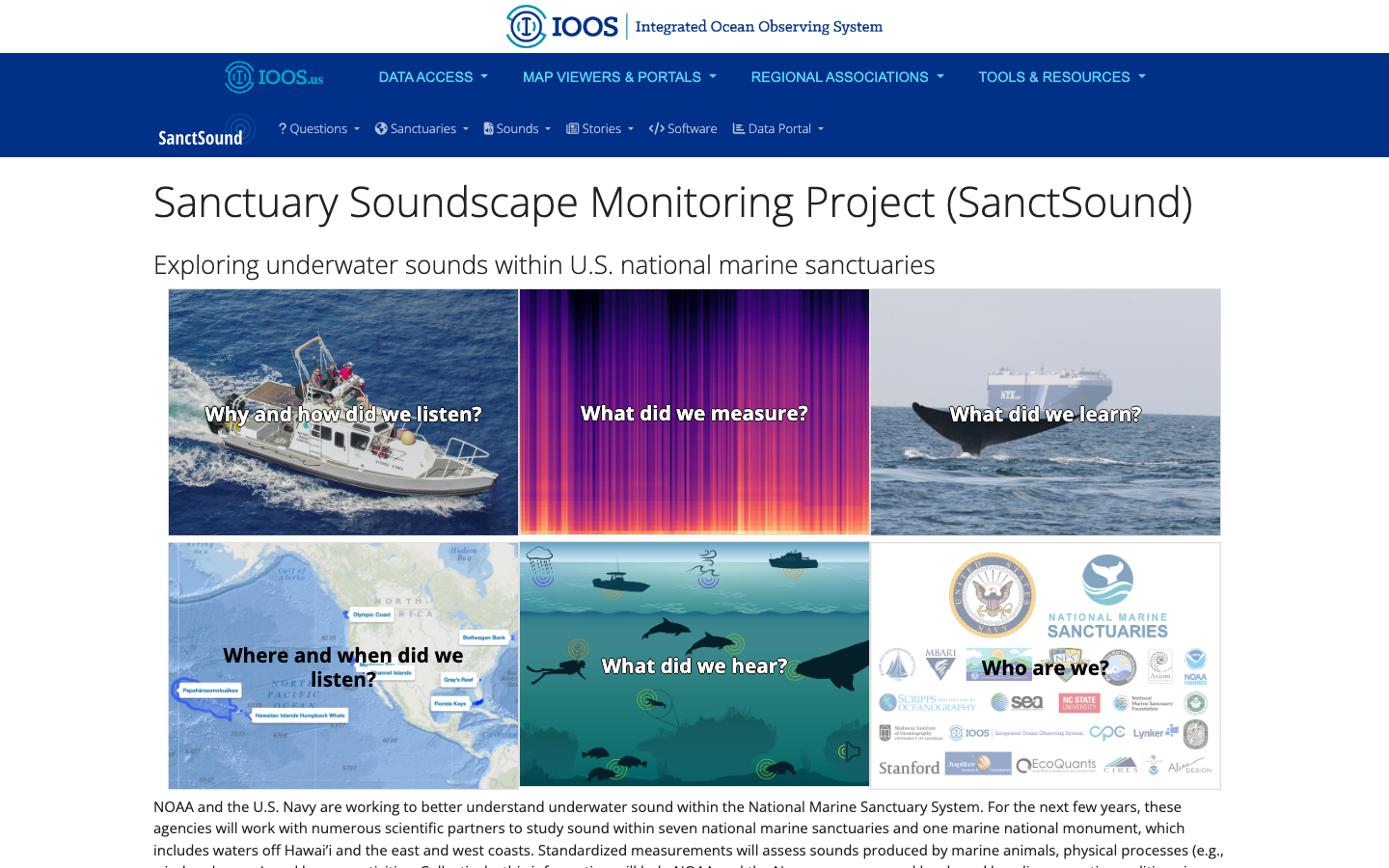
SanctSound
Sanctuary Soundscape Monitoring Project — explore underwater sound across U.S. national marine sanctuaries through illustrated question-and-answer panels.
Learn more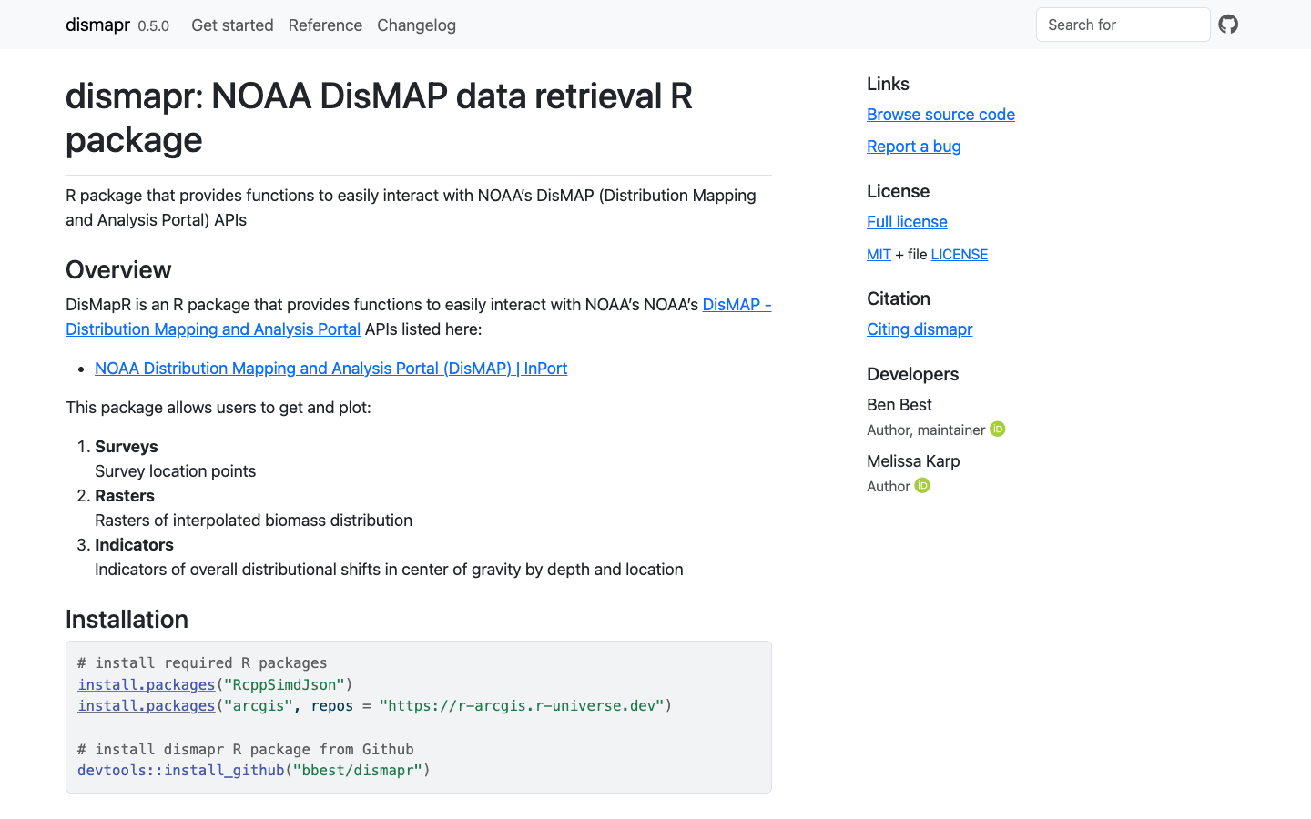
dismapr
R package with functions to interact with NOAA's Distribution Mapping and Analysis Portal (DisMAP) APIs for species distribution and range-shift data.
Learn more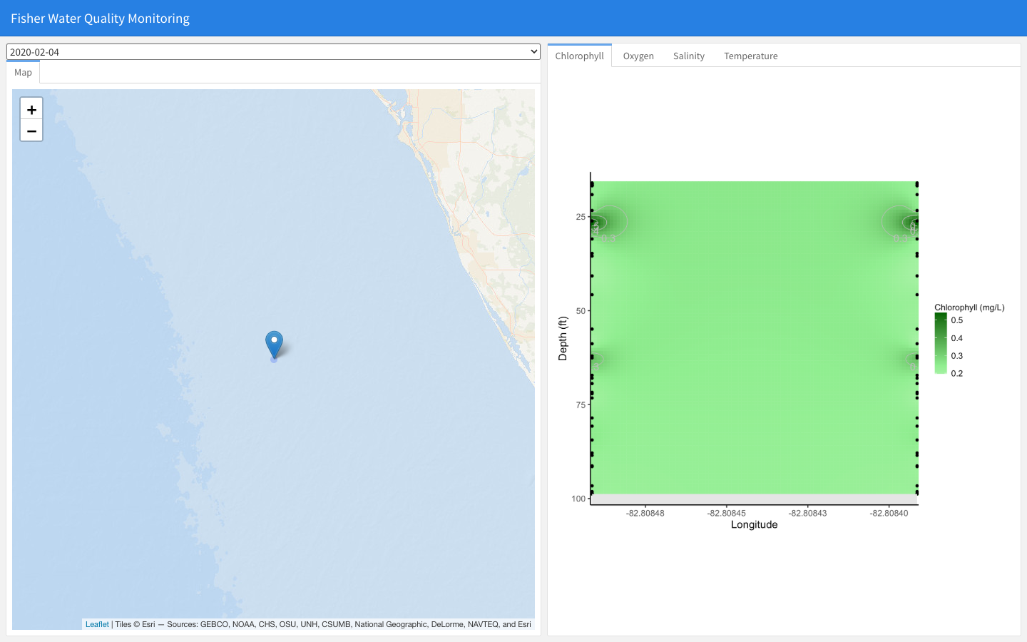
Fisher Water Quality Monitoring
Interactive dashboard of fisher-collected water-quality profiles (chlorophyll, oxygen, salinity, temperature) by date and location, for the Florida Commercial Watermen's Conservation program.
Learn more