
AquaMaps Downscaled
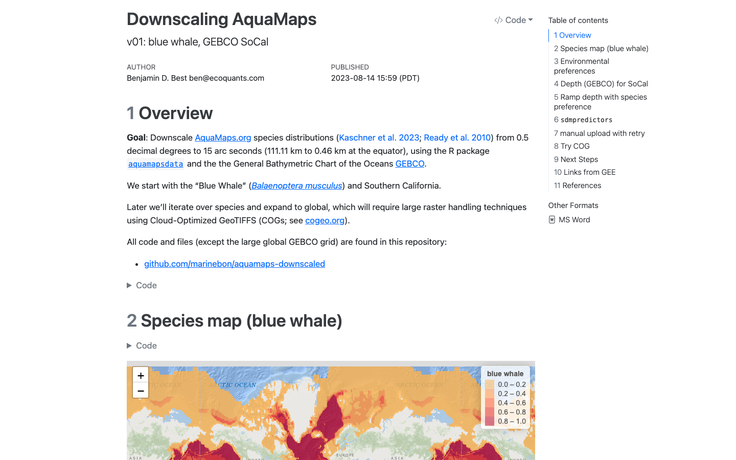
Work to downscale AquaMaps modeled species distributions to finer spatial resolution for marine biodiversity assessment.
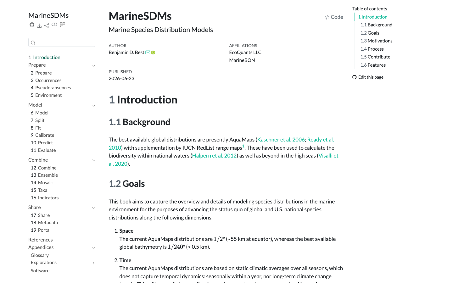
MarineSDMs
Materials and code for building marine species distribution models (SDMs) from open occurrence and environmental data.
Learn more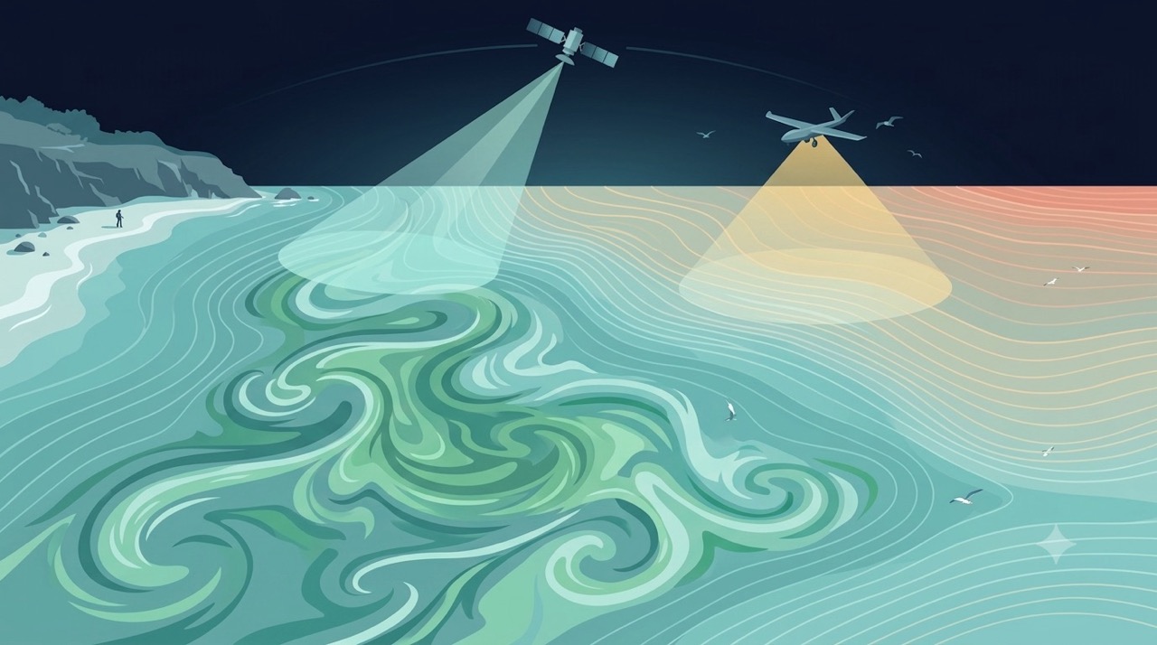
Remote Sensing
Satellites and aerial sensors resolve ocean color, temperature, and habitat extent across millions of square kilometers — scales no ship survey can match.
Learn more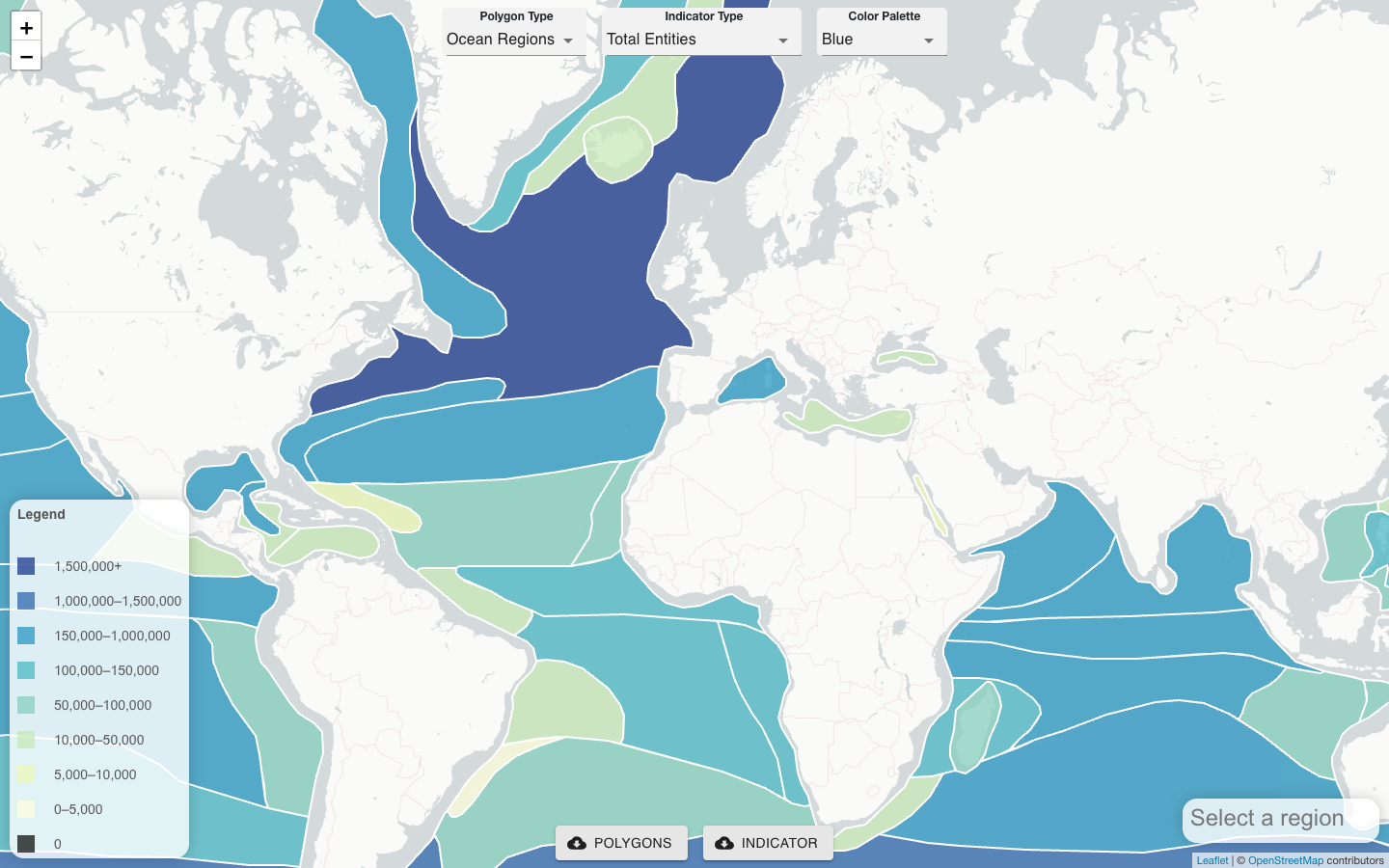
CoastWatch OBIS Indicator Explorer
Server-side tool that co-locates satellite remote sensing products, gridded model outputs, and OBIS field observations to generate biodiversity indicators for any polygon.
Learn more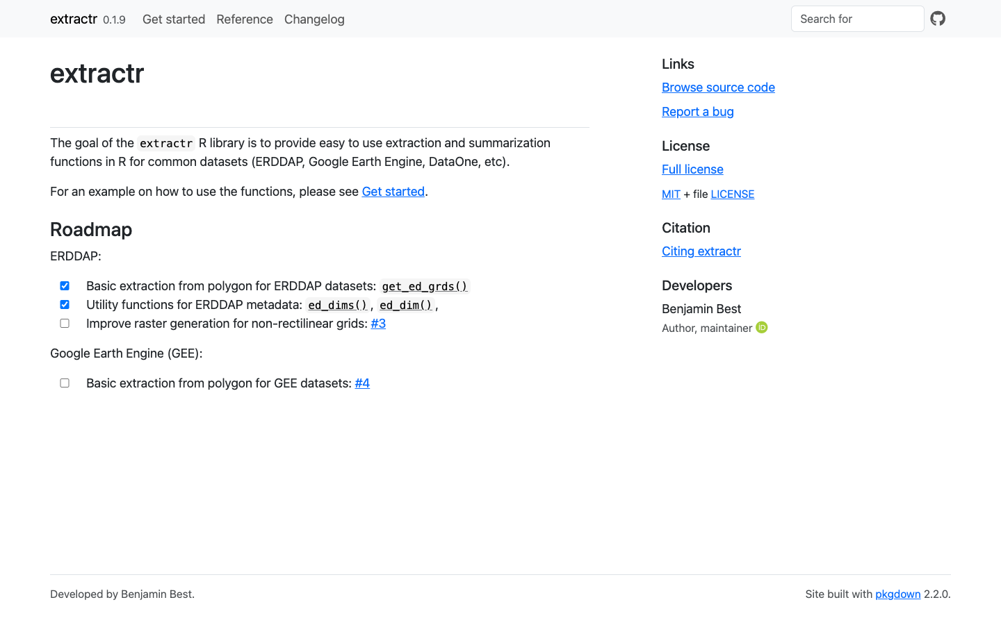
extractr
R package providing a common interface to extract and summarize gridded environmental data (ERDDAP, DataONE, and more) over a place.
Learn more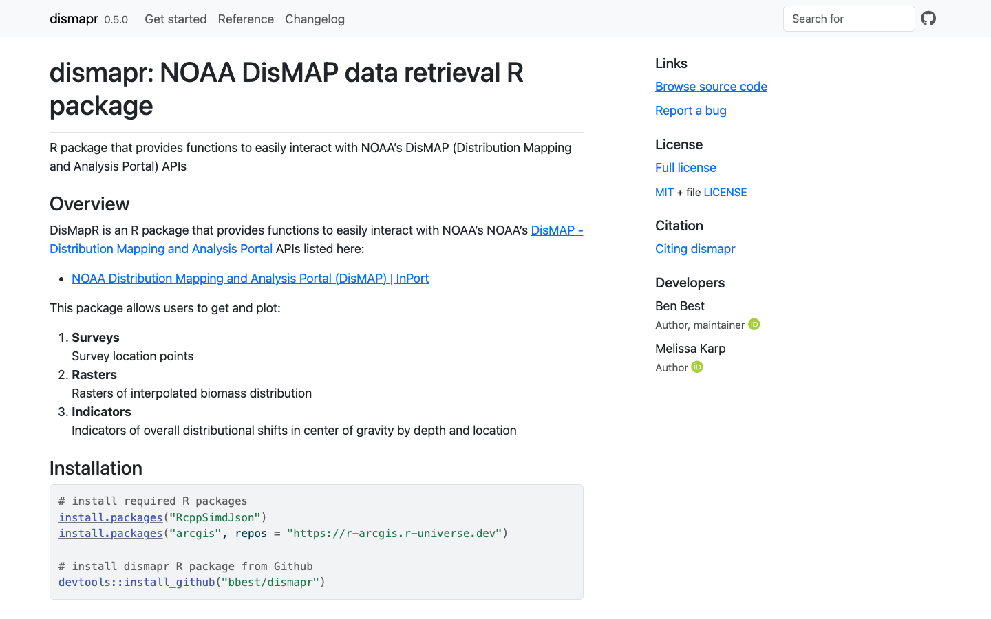
dismapr
R package with functions to interact with NOAA's Distribution Mapping and Analysis Portal (DisMAP) APIs for species distribution and range-shift data.
Learn more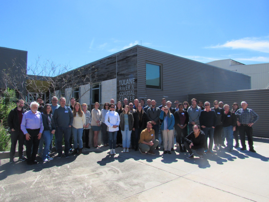
MBON All Hands 2024: Ten Years of U.S. MBON
The U.S. MBON celebrated the tenth anniversary of its pilot projects at its annual All-Hands Workshop in New Orleans, bringing together scientists, agency partners, and international collaborators.
Read story