
App 8 items
Content across the network sharing this tag, grouped by type.
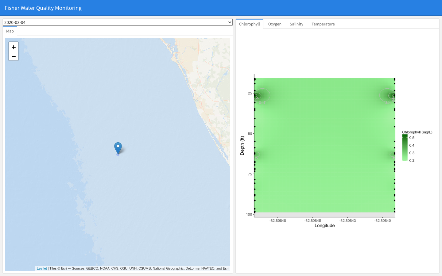
Fisher Water Quality Monitoring
Interactive dashboard of fisher-collected water-quality profiles (chlorophyll, oxygen, salinity, temperature) by date and location, for the Florida Commercial Watermen's Conservation program.
Learn more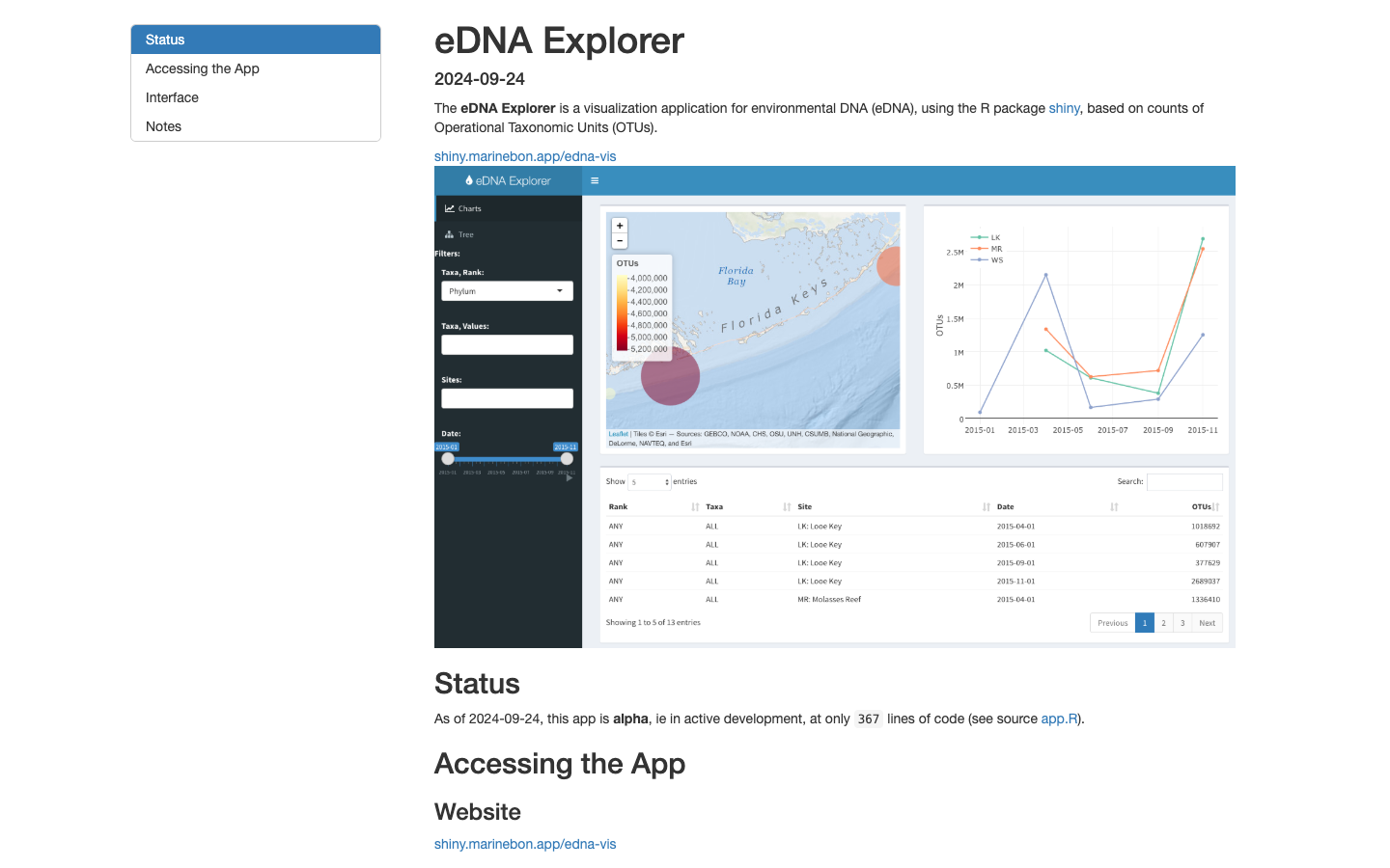
eDNA Visualization
Interactive visualization of environmental DNA (eDNA) detections across taxa and sites.
Learn more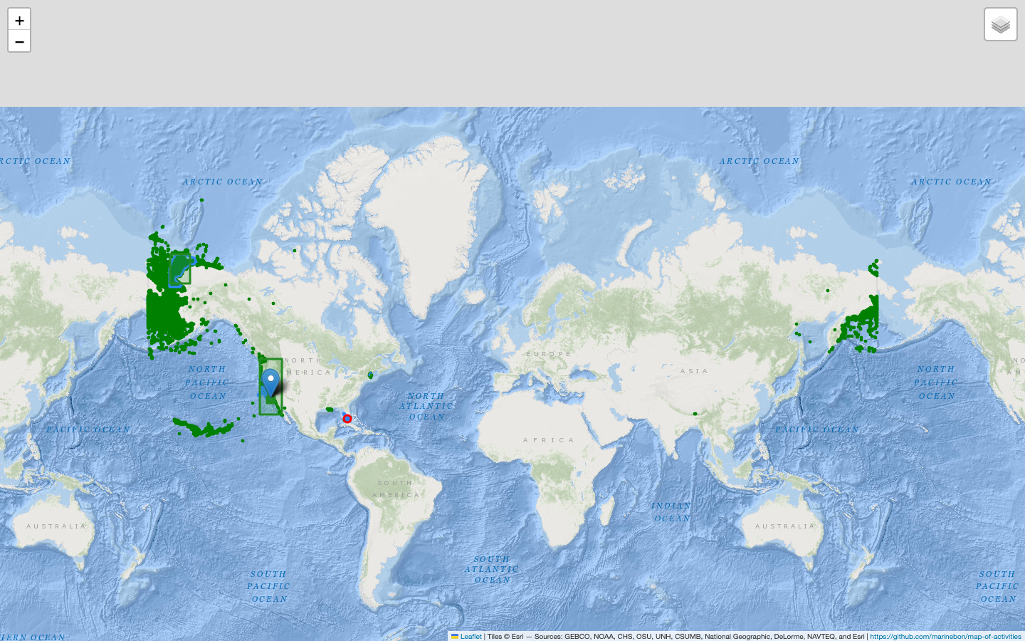
MBON Map of Activities
Interactive global map of MBON programs, partners, and activities.
Learn more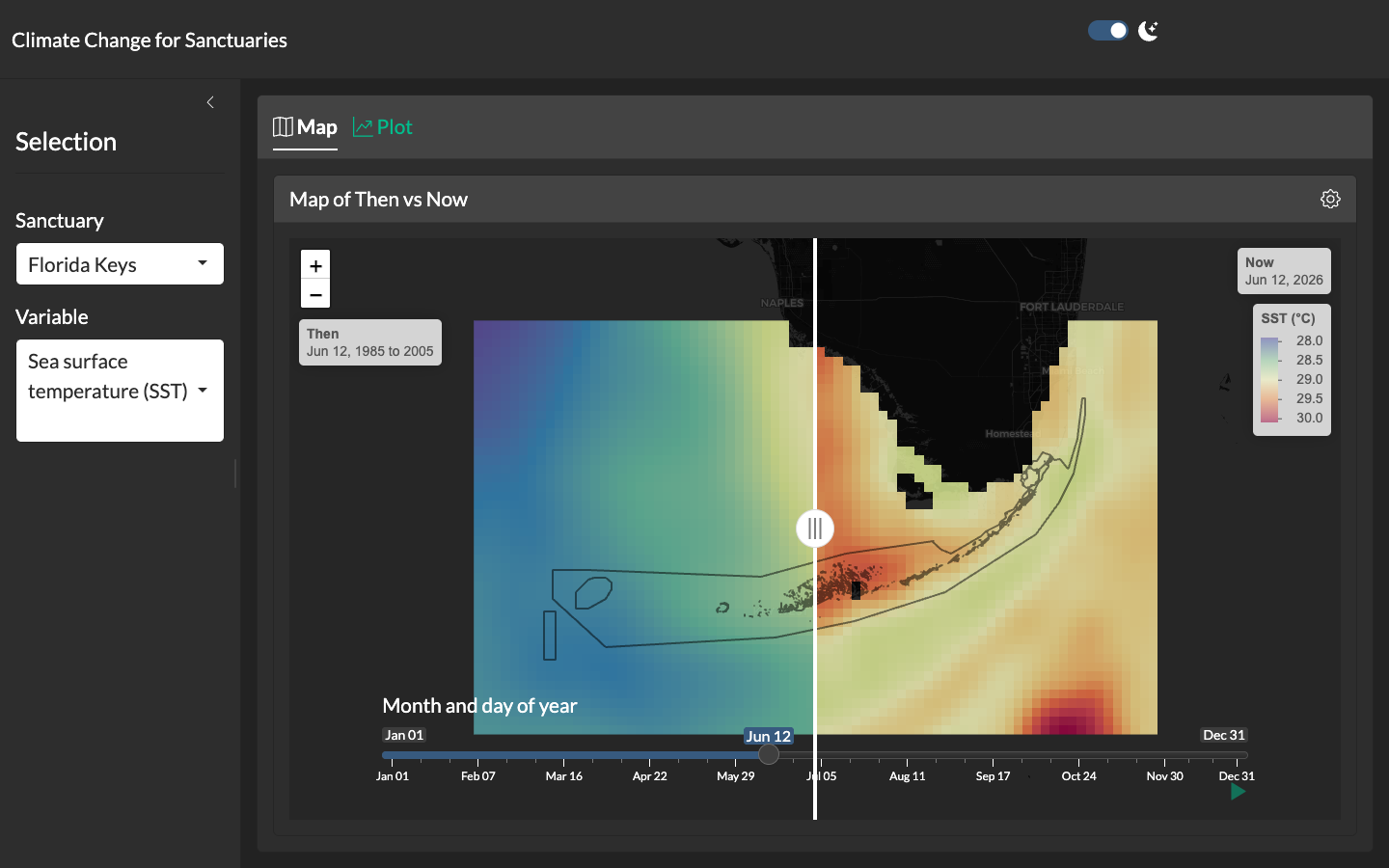
Climate Change for Sanctuaries
Shiny application with a swipeable "then vs. now" map comparing climatological reference periods to the present for each U.S. National Marine Sanctuary.
Learn more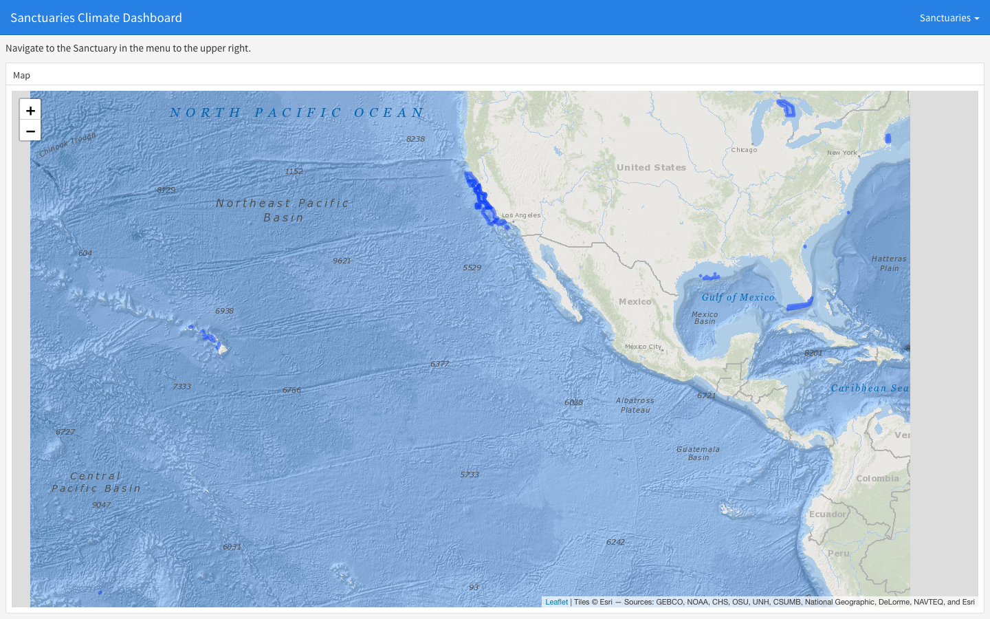
Sanctuaries Climate Dashboard
Static flexdashboard rendering climate indicators — sea surface temperature, chlorophyll-a, pH, sea-level rise — for each U.S. National Marine Sanctuary.
Learn more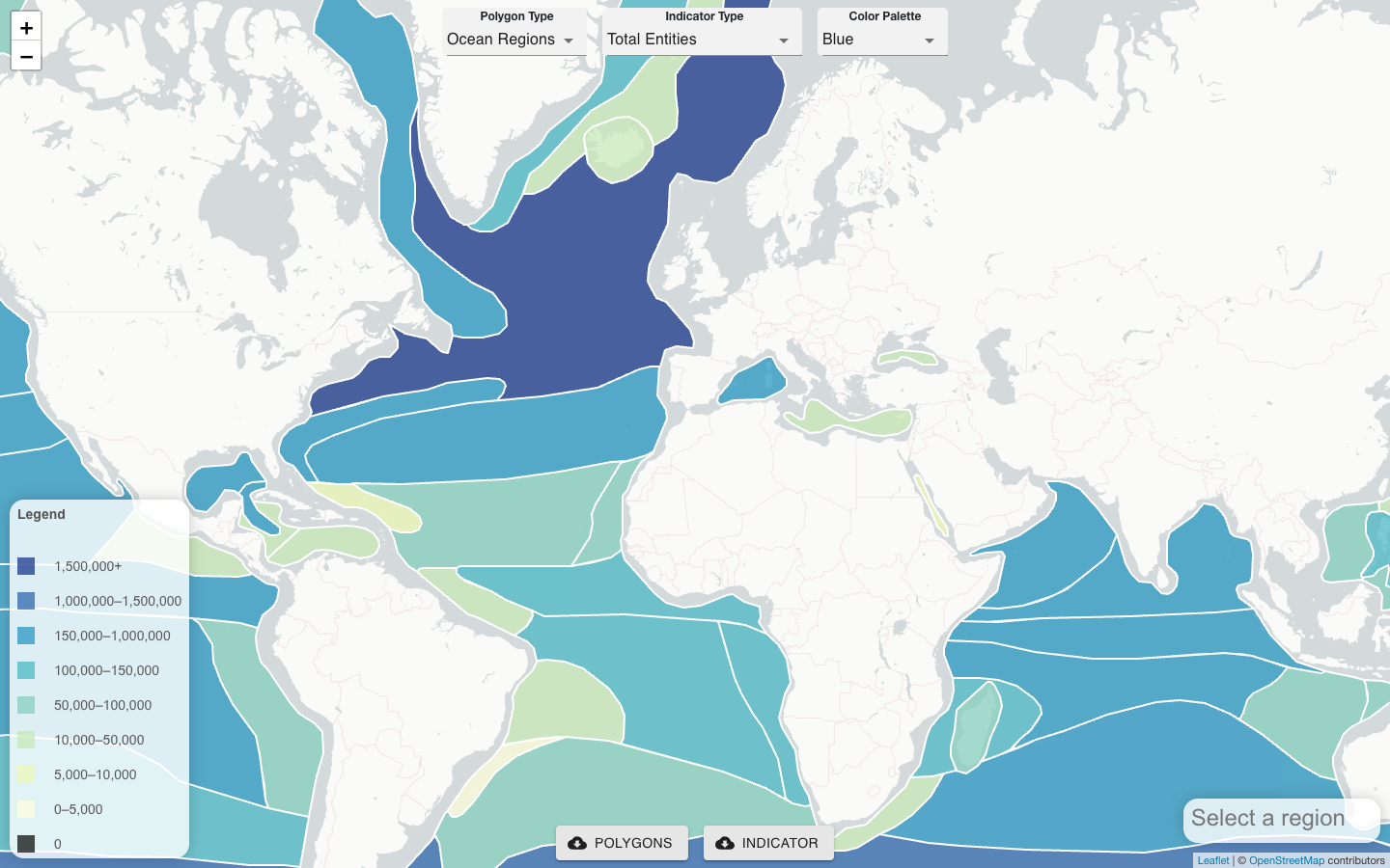
CoastWatch OBIS Indicator Explorer
Server-side tool that co-locates satellite remote sensing products, gridded model outputs, and OBIS field observations to generate biodiversity indicators for any polygon.
Learn more
Florida Keys NMS Alert Dashboard
Early-warning dashboard combining satellite and buoy data to detect harmful algal blooms and anoxic conditions in the Florida Keys National Marine Sanctuary.
Learn more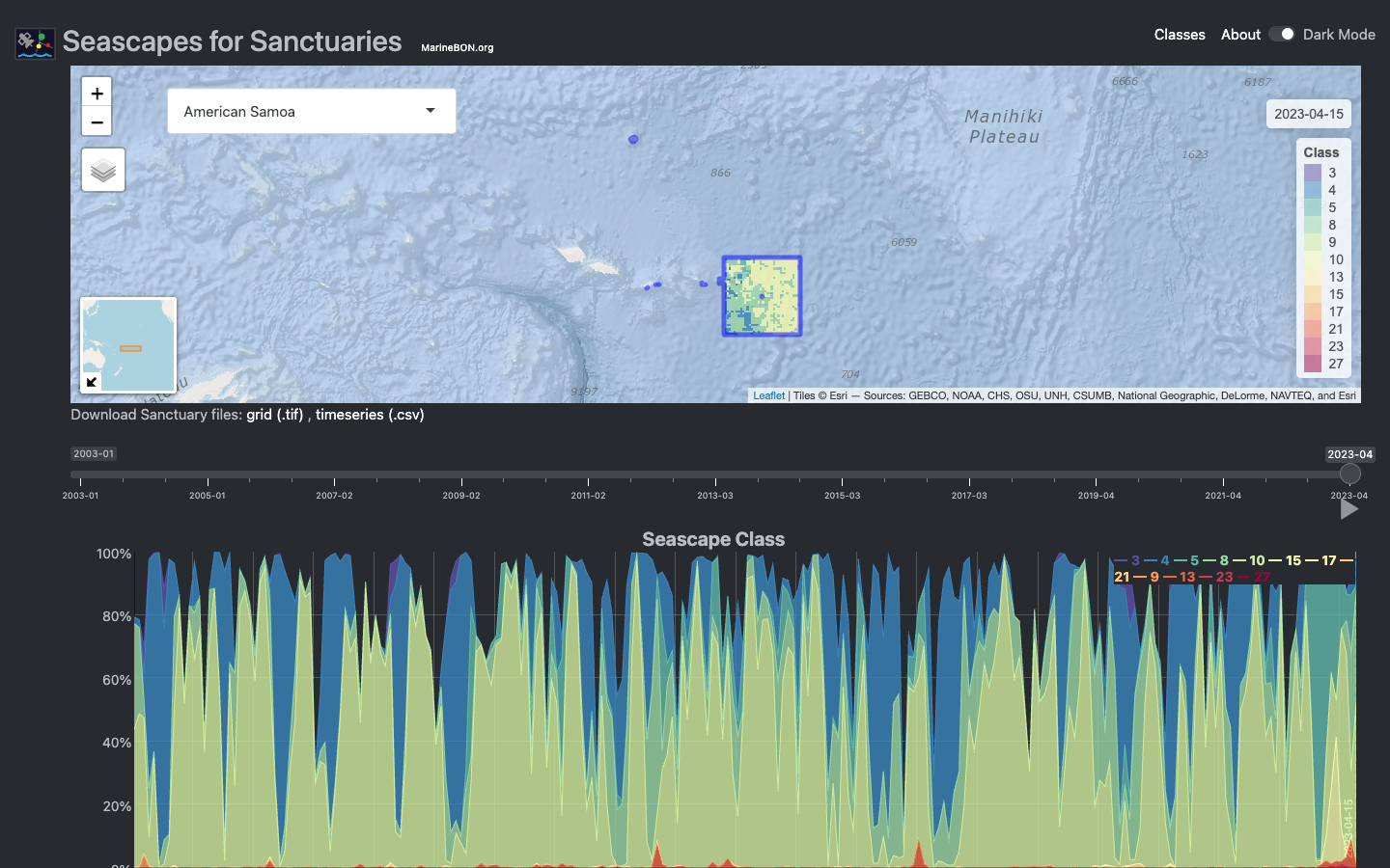
Seascapes Viewer
Interactive Shiny application for visualizing global Seascape Classes in time and space across U.S. National Marine Sanctuaries.
Learn more