
Deep learning for all: managing and analyzing underwater and remote sensing imagery on the web using BisQue
Deep learning for all: managing and analyzing underwater and remote sensing imagery on the web using BisQue .
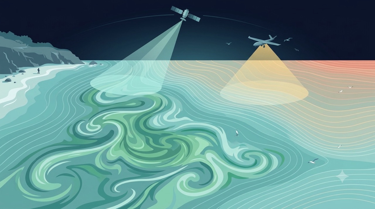
Remote Sensing
Satellites and aerial sensors resolve ocean color, temperature, and habitat extent across millions of square kilometers — scales no ship survey can match.
Learn more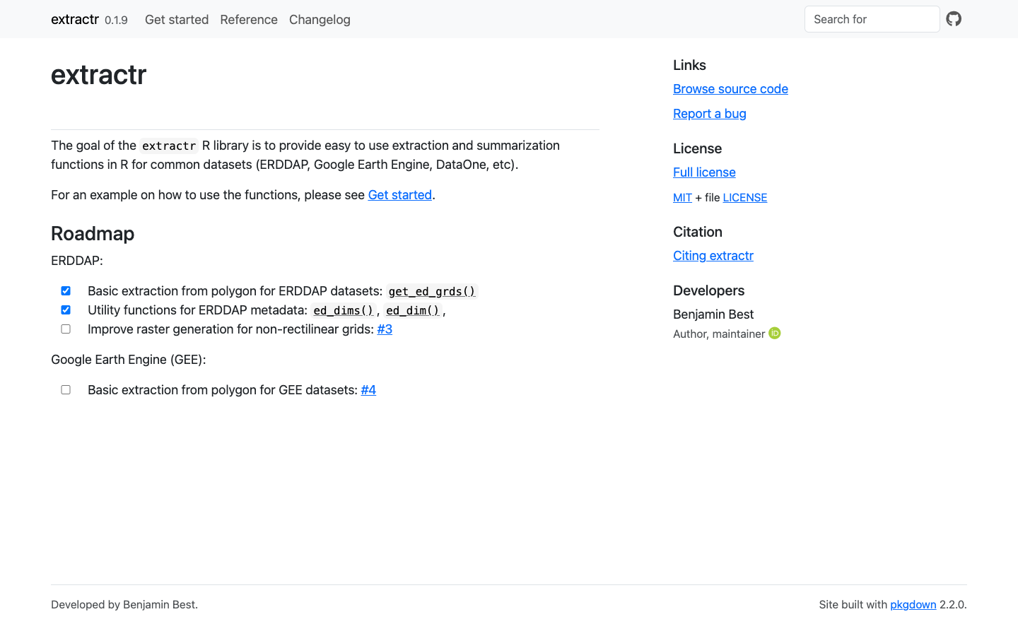
extractr
R package providing a common interface to extract and summarize gridded environmental data (ERDDAP, DataONE, and more) over a place.
Learn more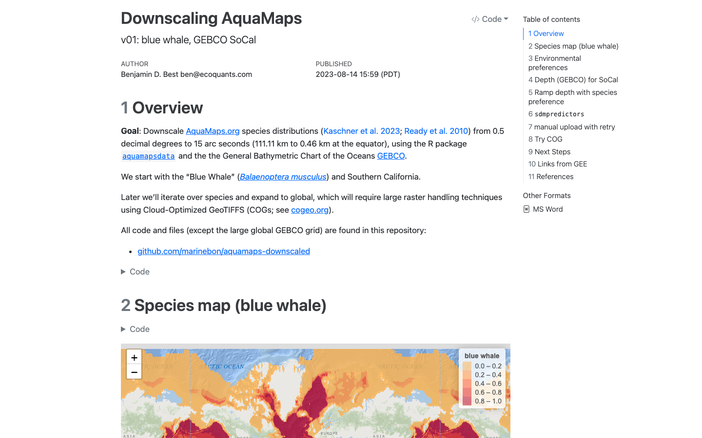
AquaMaps Downscaled
Downscaled AquaMaps modeled species distributions for finer-resolution marine biodiversity mapping.
Learn more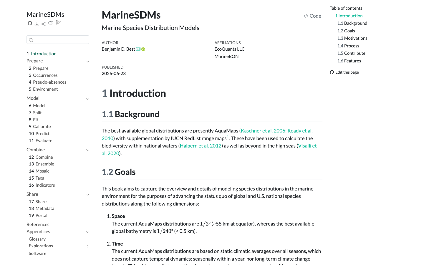
MarineSDMs
Materials and code for building marine species distribution models (SDMs) from open occurrence and environmental data.
Learn more
Satellite-Based Hurricane Damage Assessment
MBON, NERRS and NASA team develops automated, satellite-based method to evaluate damage caused by hurricanes and severe storms in coastal areas. Read more here. …
Read storyDynamic Satellite Seascapes as a Biogeographic Framework for Understanding Phytoplankton Assemblages in the Florida Keys National Marine Sanctuary, United States
Enrique Montes et al. · Frontiers in Marine Science
Read paper