
Three decades of variability in California's giant kelp forests from the Landsat satellites
Three decades of variability in California's giant kelp forests from the Landsat satellites . Remote Sensing of Environment. doi:10.1016/j.rse.2018.06.039
Sea Surface Temperature Imagery Elucidates Spatiotemporal Nutrient Patterns for Offshore Kelp Aquaculture Siting in the Southern California Bight
Jordan N. Snyder et al. · Frontiers in Marine Science
Read paper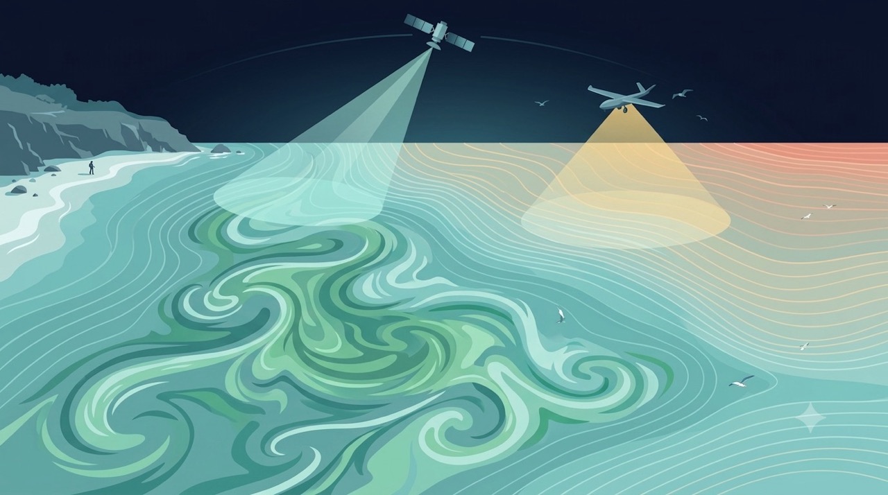
Remote Sensing
Satellites and aerial sensors resolve ocean color, temperature, and habitat extent across millions of square kilometers — scales no ship survey can match.
Learn more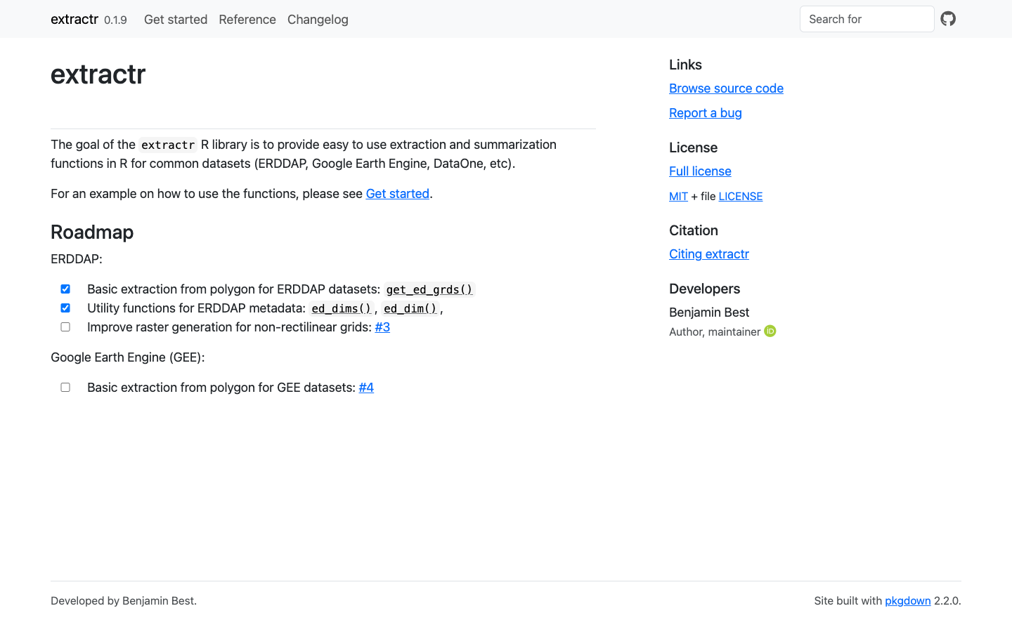
extractr
R package providing a common interface to extract and summarize gridded environmental data (ERDDAP, DataONE, and more) over a place.
Learn more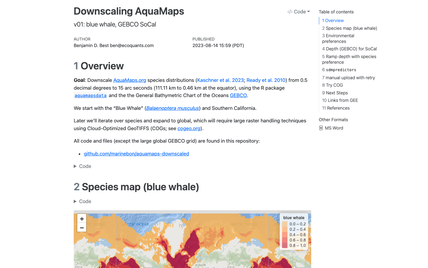
AquaMaps Downscaled
Downscaled AquaMaps modeled species distributions for finer-resolution marine biodiversity mapping.
Learn more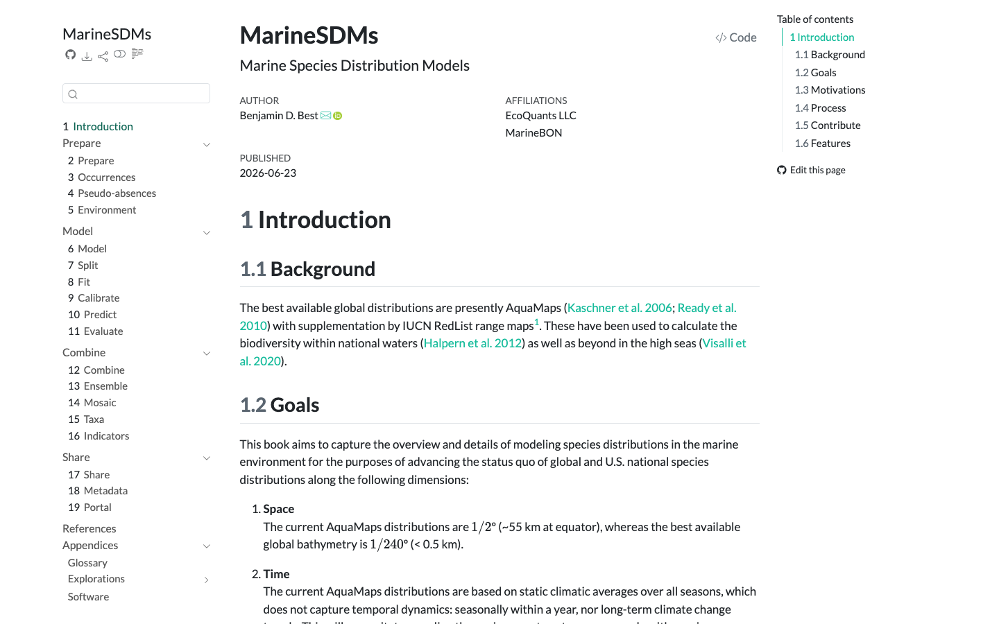
MarineSDMs
Materials and code for building marine species distribution models (SDMs) from open occurrence and environmental data.
Learn more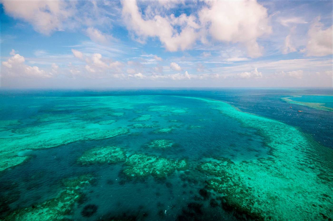
Marine Foundation Species and Biodiversity
Marine foundation species like giant kelp, seagrass, and corals harbor great reservoirs of biodiversity in coastal oceans. Now the Santa Barbara Channel MBON …
Read story