
Changes in marine biodiversity — the variety and variability of life in the ocean — can be an early indicator of change, provided it’s noticed. Read more here.

Related across the network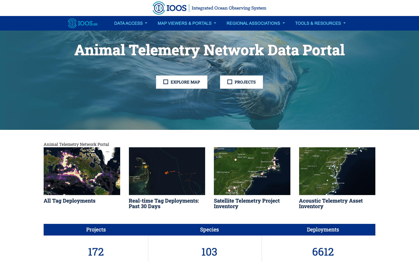
Tool
BioTrack Telemetry Portal
Interactive map of satellite and acoustic marine animal tracks that identifies biodiversity hotspots and their overlap with human-use areas.
Learn more Method
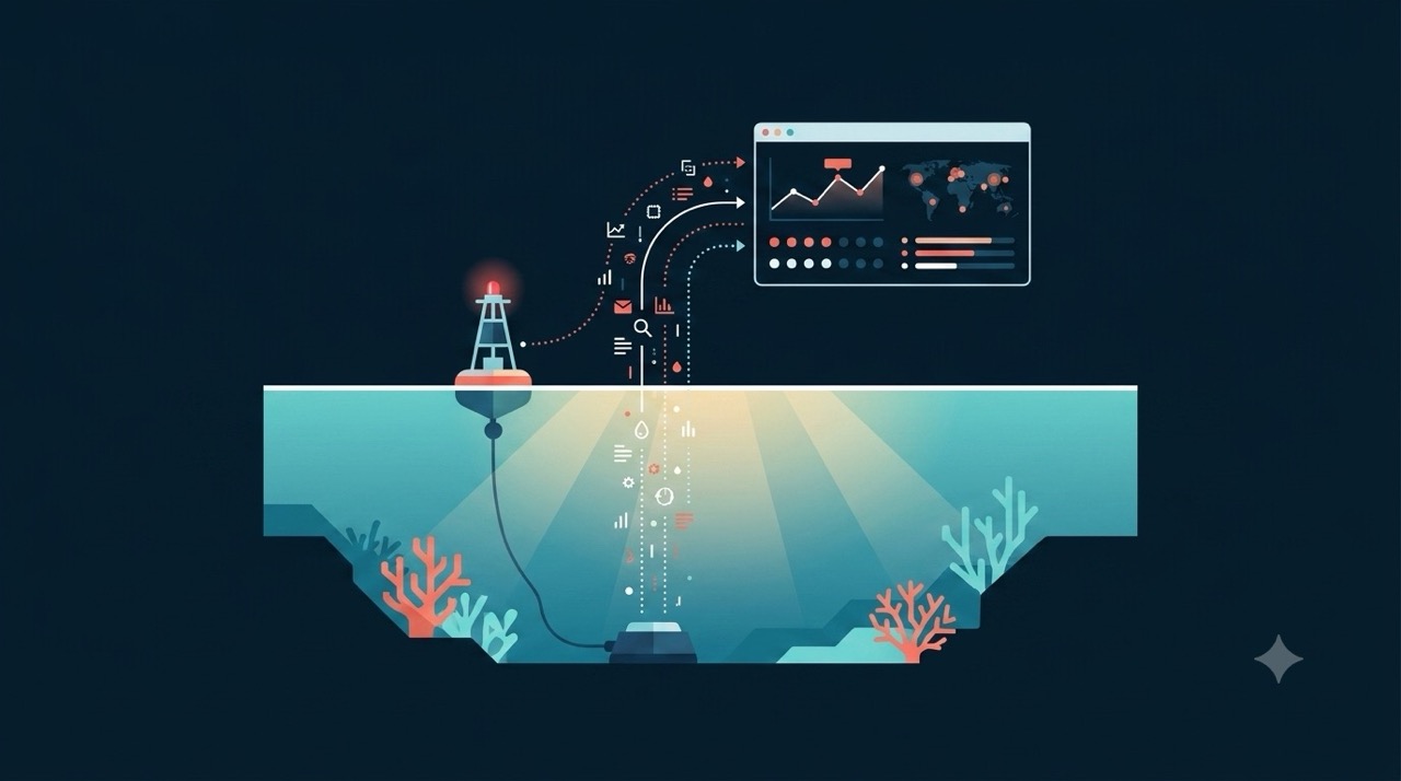
Indicators & Data Management
Raw observations become decision-relevant information through synthesis into Essential Ocean Variables, open data pipelines, and indicators that managers and policymakers can act on.
Learn more Tool
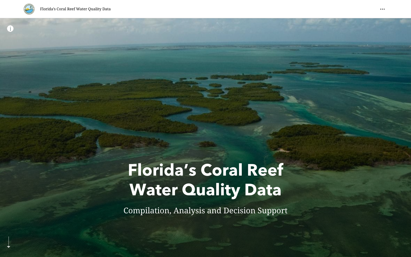
FWRI FK Water Quality Story Map
ArcGIS Story Map for water quality in the Florida Keys, developed by FWRI.
Learn more Tool
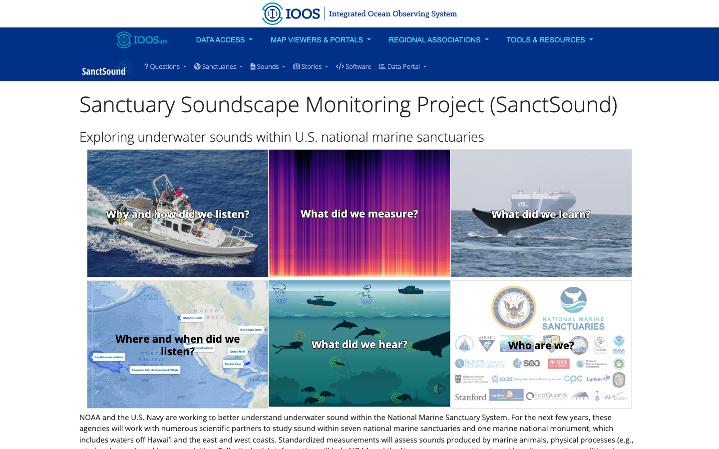
SanctSound
Sanctuary Soundscape Monitoring Project — explore underwater sound across U.S. national marine sanctuaries through illustrated question-and-answer panels.
Learn more Tool
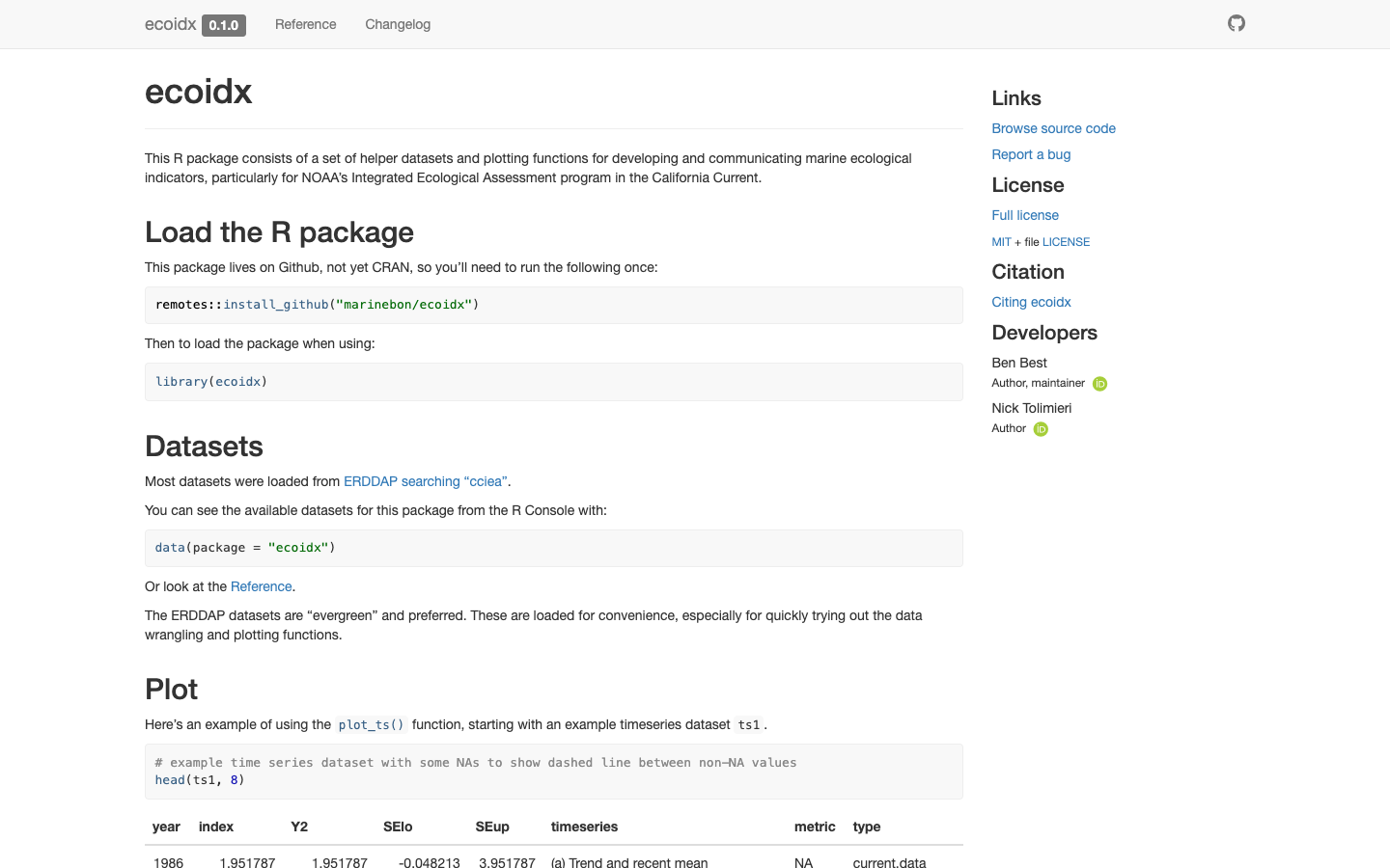
ecoidx
R package implementing NOAA Integrated Ecosystem Assessment (IEA) indicator standards — workflows and visualizations for marine ecological indicators.
Learn more Tool
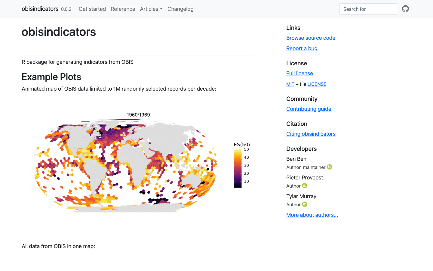
obisindicators
R package for generating biodiversity indicators — including ES(50) estimated species richness — from OBIS occurrence data.
Learn more