
US and global MBON partnered with US IOOS, NOAA’s Oceanic and Atmospheric Research Atlantic Oceanographic and Meteorological Laboratory (AOML), and NOAA’s National Environmental Satellite, Data, and Information Service (NESDIS) to develop and routinely generate MBON Seascapes products and make them available on NOAA CoastWatch . Derived from dynamic fields of satellite and modelled data, Seascapes are classified and used as a biogeographical framework to describe dynamic, changing ocean habitats for MBON and other applications. Seascapes provide information about the quality and extent of different oceanographic habitats or features and can be used to assess and predict the different planktonic and fisheries communities that reside within seascapes. Current Seascapes products include monthly and 8-day time steps with a spatial resolution of 1/20th of degree (~5 km). High resolution (1 km) case studies are planned on a case by case basis through cooperation with US and global MBON partners.
Remote Sensing
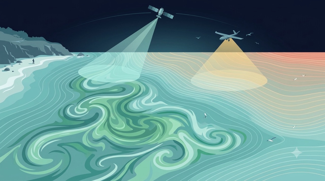
Satellites and aerial sensors resolve ocean color, temperature, and habitat extent across millions of square kilometers — scales no ship survey can match.
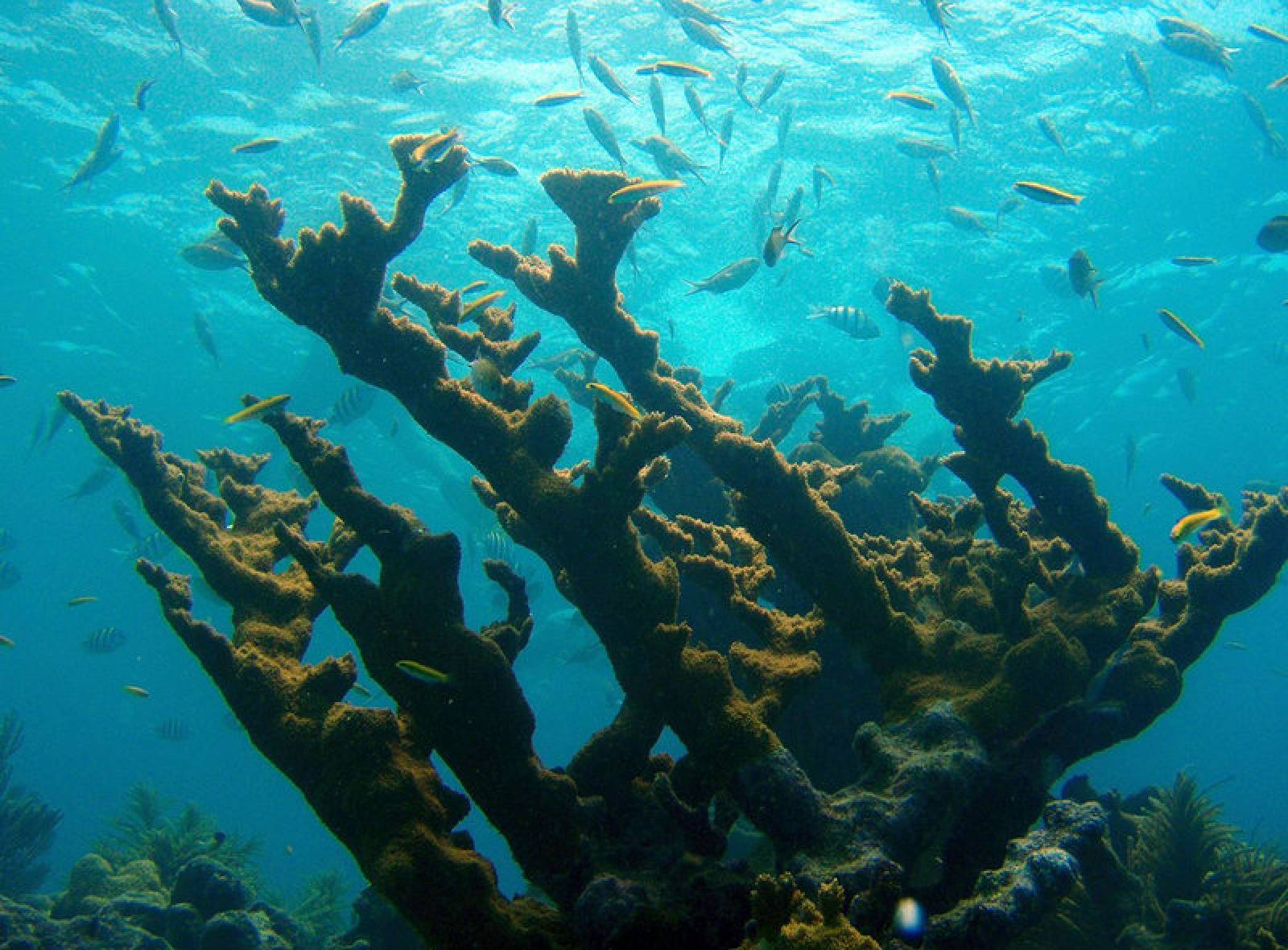
Learn moreDynamic Satellite Seascapes as a Biogeographic Framework for Understanding Phytoplankton Assemblages in the Florida Keys National Marine Sanctuary, United States
Enrique Montes et al. · Frontiers in Marine Science
Read paper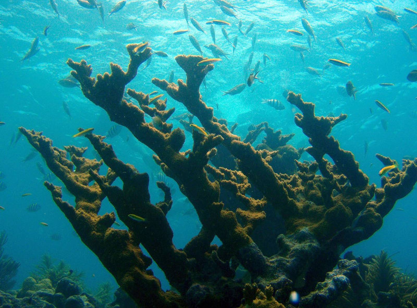
MBON and AOML Characterize Seascapes Biogeographic Regions to Understand Phytoplankton Assemblages in the Florida Keys National Marine Sanctuary
MBON, with NOAA/AOML, has characterized seascapes for the Florida Keys National Marine Sanctuary (FKNMS) and southwest Florida shelf nearshore environment using …
Read storyRemote Sensing & Seascapes
Advancing satellite remote sensing and dynamic seascape products to map and monitor marine biodiversity and its drivers across the MBON network.
Learn more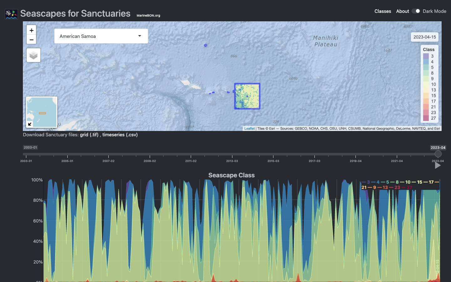
Seascapes Viewer
Interactive Shiny application for visualizing global Seascape Classes in time and space across U.S. National Marine Sanctuaries.
Learn more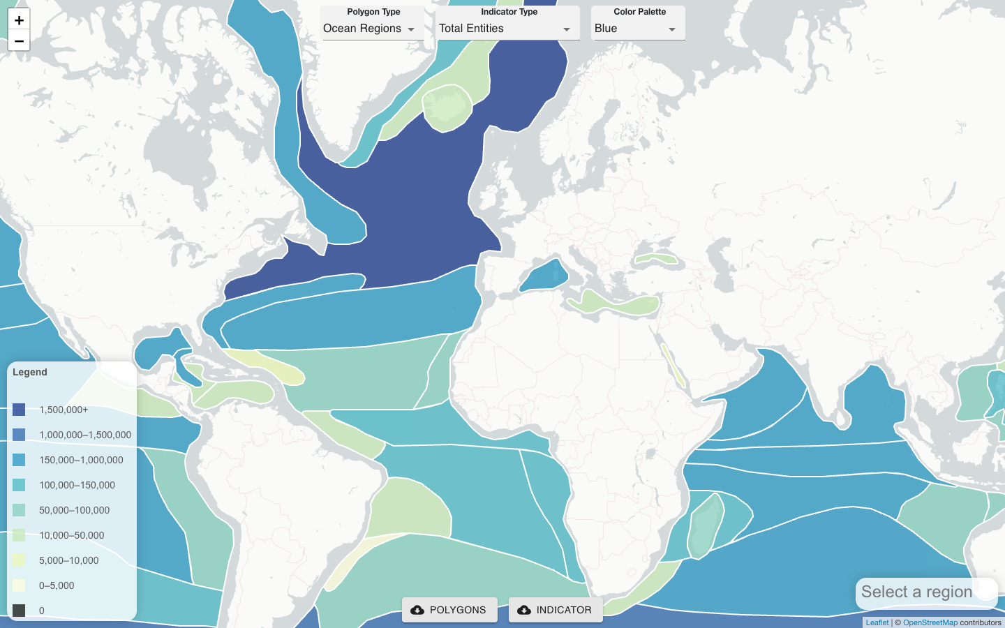
CoastWatch OBIS Indicator Explorer
Server-side tool that co-locates satellite remote sensing products, gridded model outputs, and OBIS field observations to generate biodiversity indicators for any polygon.
Learn more