
MBON, NERRS and NASA team develops automated, satellite-based method to evaluate damage caused by hurricanes and severe storms in coastal areas. Read more here.

Related across the network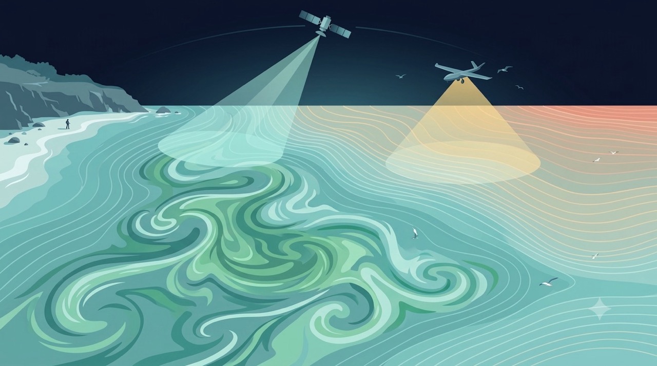
Method
Remote Sensing
Satellites and aerial sensors resolve ocean color, temperature, and habitat extent across millions of square kilometers — scales no ship survey can match.
Learn more Tool
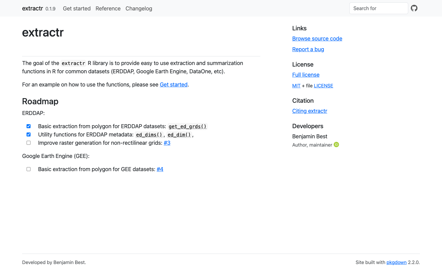
extractr
R package providing a common interface to extract and summarize gridded environmental data (ERDDAP, DataONE, and more) over a place.
Learn more Tool
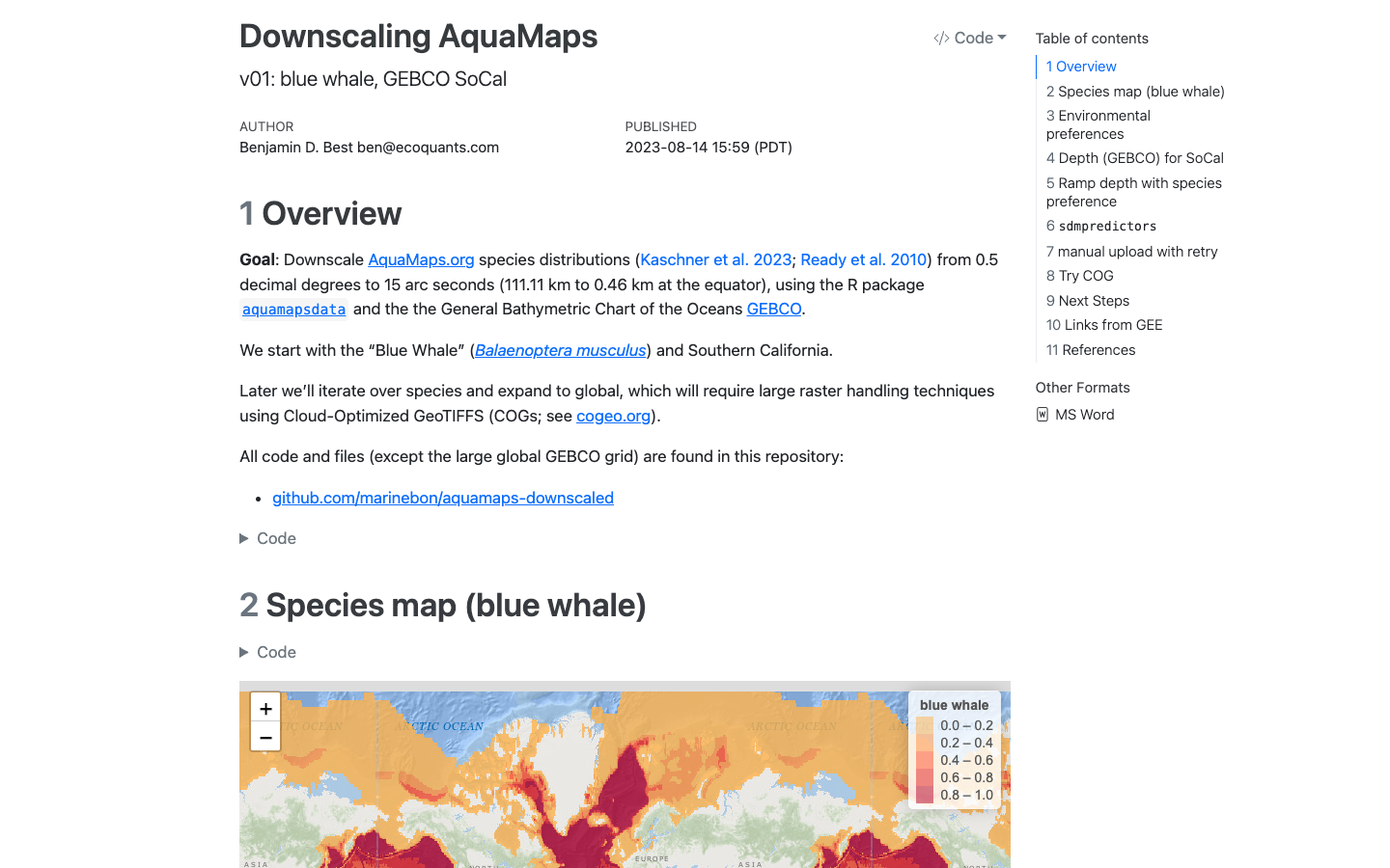
AquaMaps Downscaled
Downscaled AquaMaps modeled species distributions for finer-resolution marine biodiversity mapping.
Learn more Tool
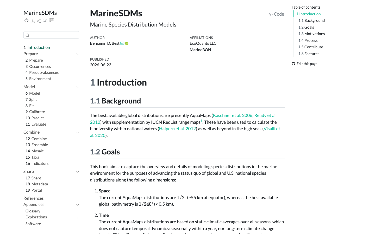
MarineSDMs
Materials and code for building marine species distribution models (SDMs) from open occurrence and environmental data.
Learn more2020
Paper
Dynamic Satellite Seascapes as a Biogeographic Framework for Understanding Phytoplankton Assemblages in the Florida Keys National Marine Sanctuary, United States
Enrique Montes et al. · Frontiers in Marine Science
Read paper2020
Paper
Three decades of variability in California's giant kelp forests from the Landsat satellites
Tom W. Bell et al. · Remote Sensing of Environment
Read paper