
Join U.S. Marine Biodiversity Observation Network (MBON) partners as they deliver insightful discussions on how to conserve biodiversity and work toward global best practices for biodiversity monitoring and data sharing. Read more here.
Related across the network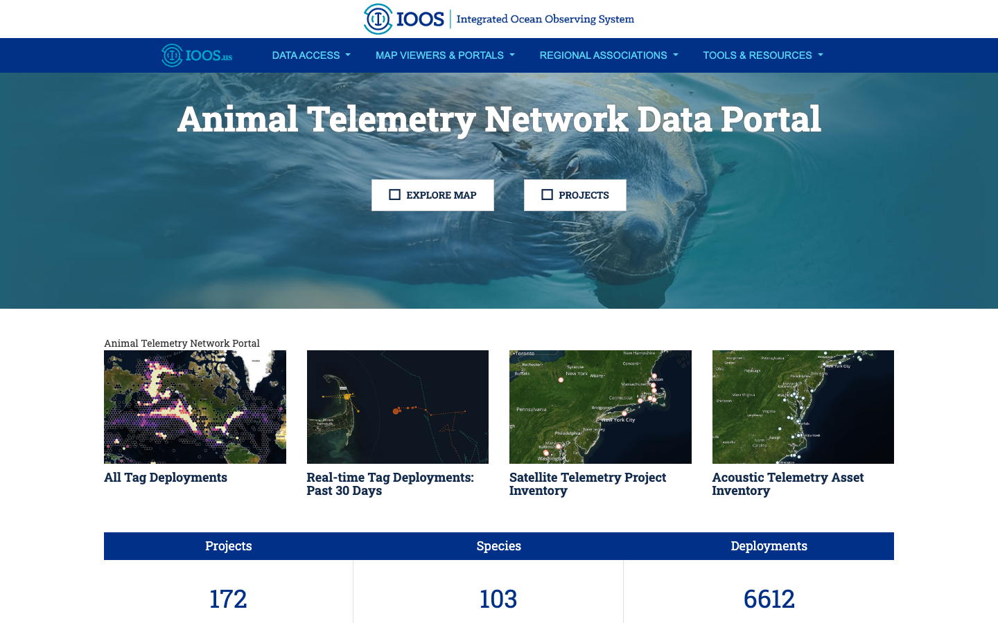
Tool
BioTrack Telemetry Portal
Interactive map of satellite and acoustic marine animal tracks that identifies biodiversity hotspots and their overlap with human-use areas.
Learn more Tool
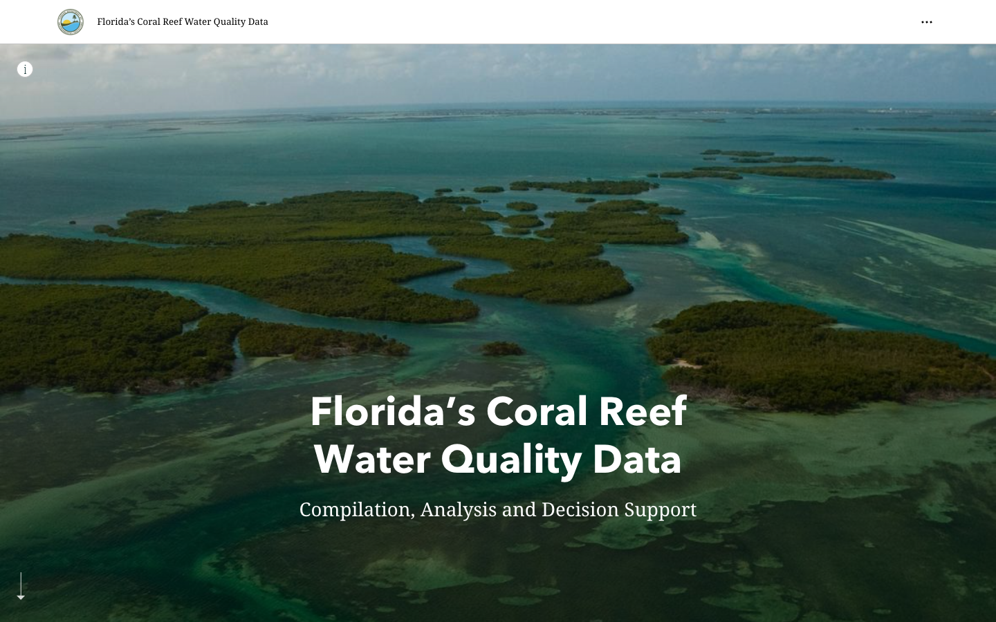
FWRI FK Water Quality Story Map
ArcGIS Story Map for water quality in the Florida Keys, developed by FWRI.
Learn more Tool
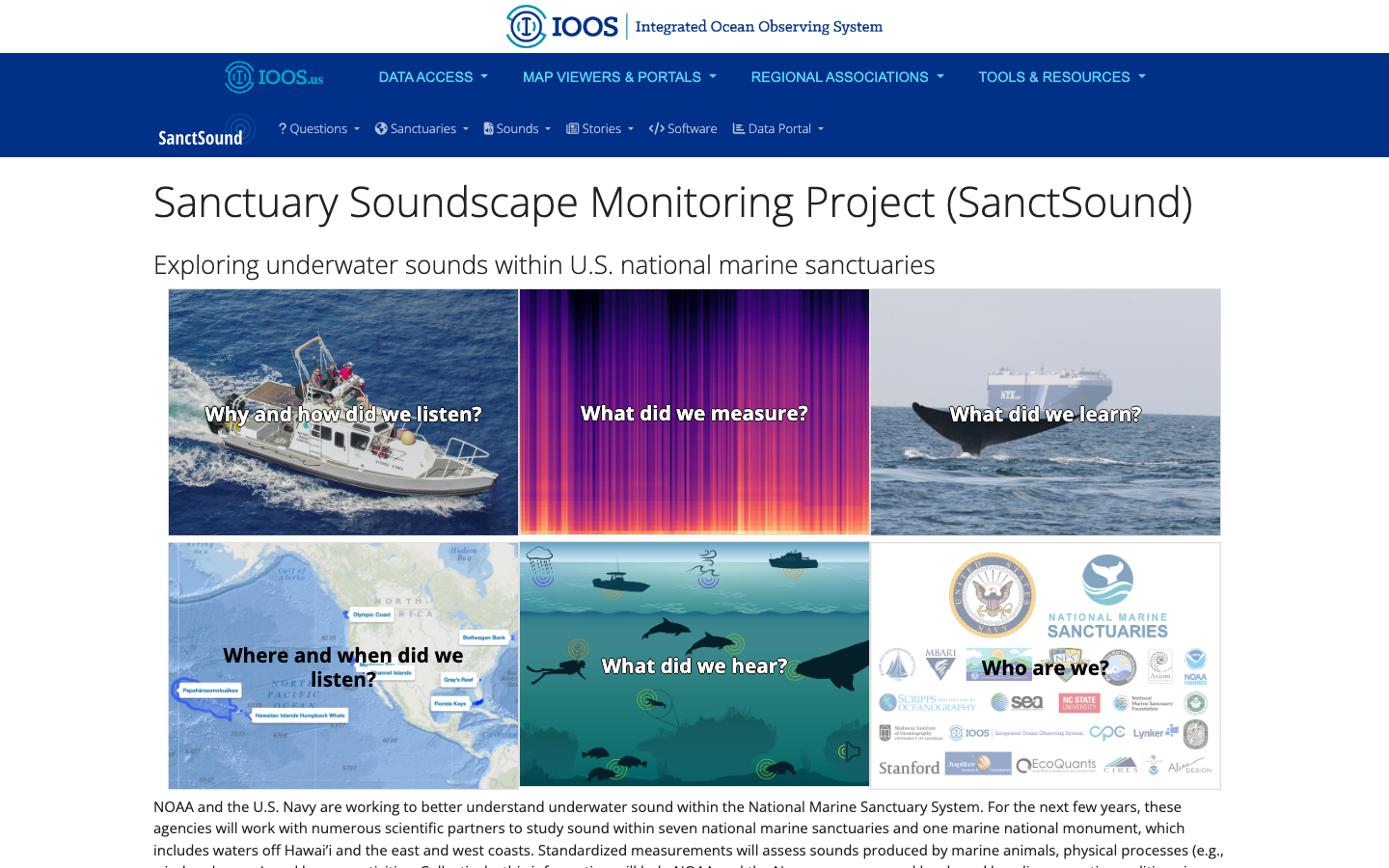
SanctSound
Sanctuary Soundscape Monitoring Project — explore underwater sound across U.S. national marine sanctuaries through illustrated question-and-answer panels.
Learn more Tool
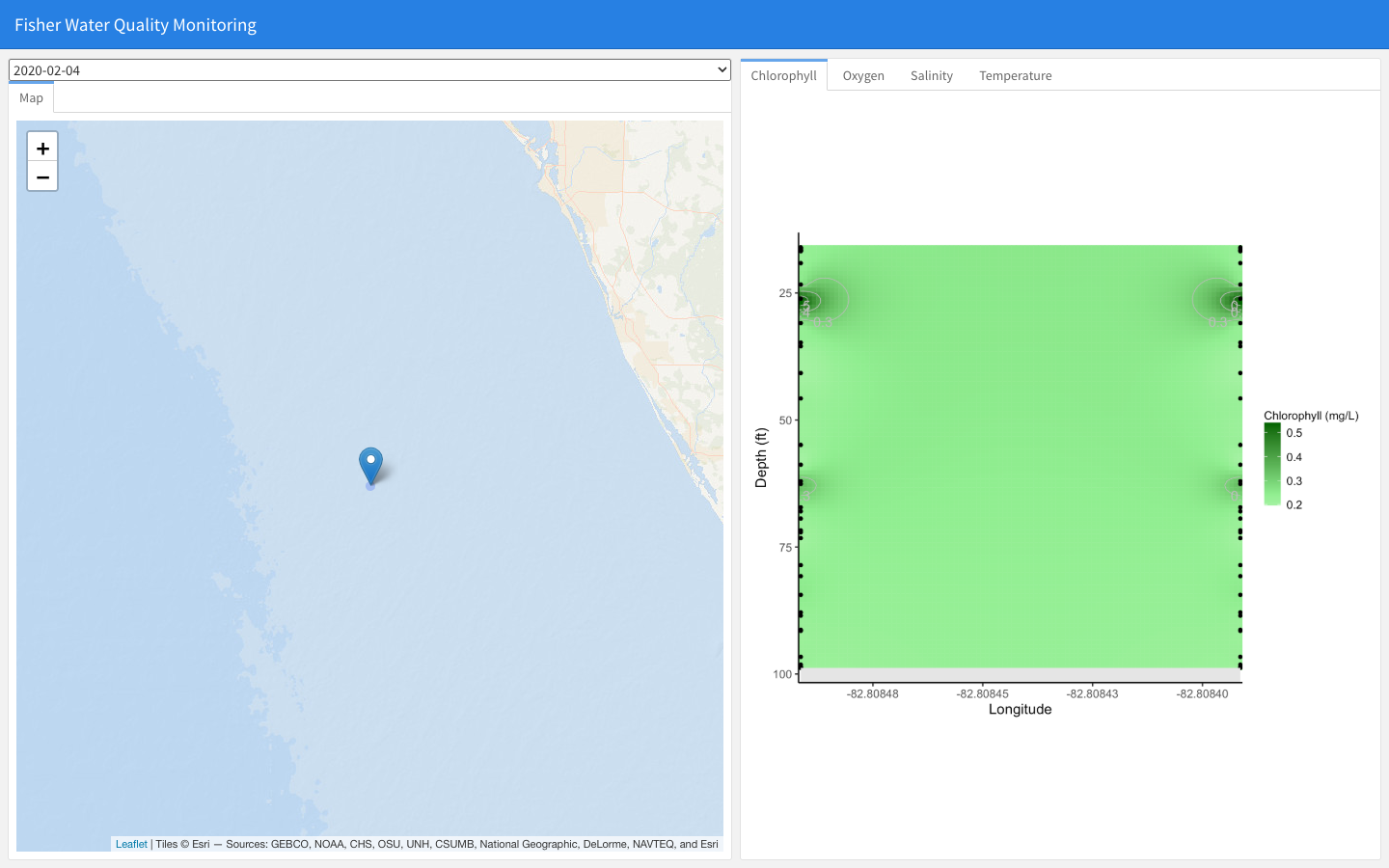
Fisher Water Quality Monitoring
Interactive dashboard of fisher-collected water-quality profiles (chlorophyll, oxygen, salinity, temperature) by date and location, for the Florida Commercial Watermen's Conservation program.
Learn more Tool
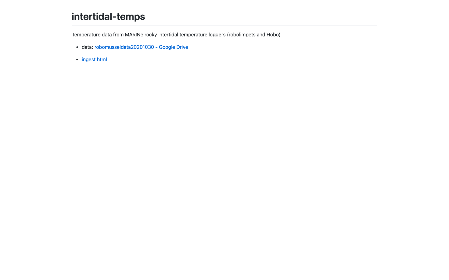
Intertidal Temperatures
Visualization of intertidal temperature logger records along rocky shores.
Learn more Tool
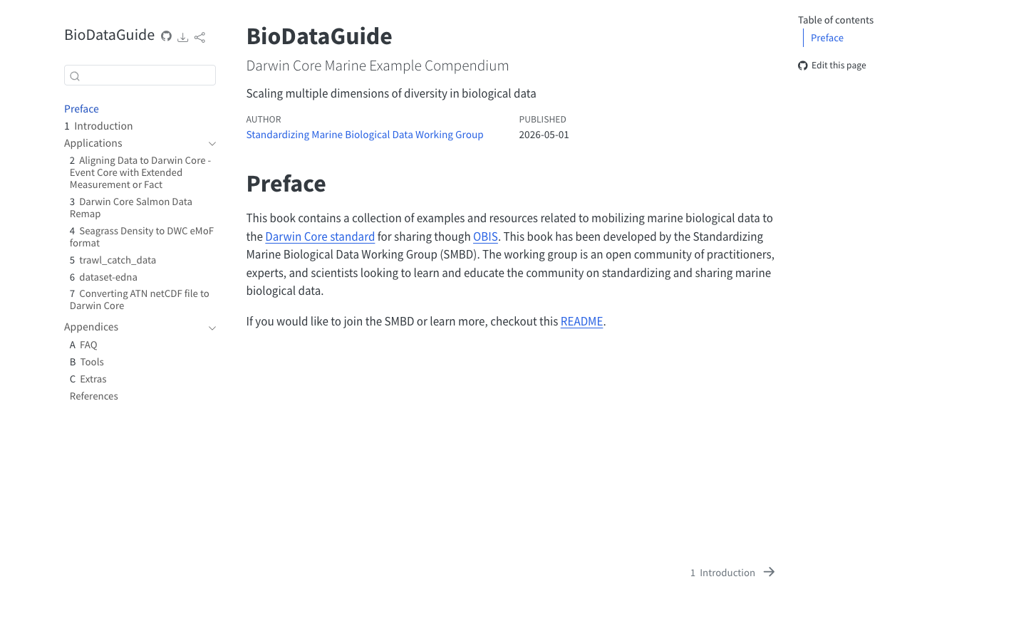
Bio Data Guide
Community guide and standards for mobilizing marine biological data to Darwin Core and OBIS, from the IOOS Standardizing Marine Biological Data Working Group.
Learn more