
Southeast US MBON
Southeastern United States, integrating fieldwork and satellite observations.
This project will build on the foundations laid by the present Sanctuaries MBON demonstration. A close partnership with NOAA AOML and the FKNMS has focused on periodic MBON surveys of the Florida Keys since 2014. Additional partners now add animal tracking and other dimensions to the Sanctuaries MBON.
Specifically, we seek to integrate ground and satellite observations related to biodiversity to inform ecosystem-based management in and around the Florida Keys National Marine Sanctuary (FKNMS). This includes supporting the regional NOAA Integrated Ecosystem Assessment (IEA), the National Marine Fisheries Southeast Fisheries Science Center, the FKNMS, Rookery Bay National Estuarine Research Reserve (NERR), and the State of Florida Fish and Wildlife Commission (FWC) as specific end users of an MBON.
The objectives are to:
- Further integrate and synthesize information from ongoing monitoring programs through the Integrated Ocean Observing System (IOOS).
- Refine details for practical marine Essential Biodiversity Variables (EBVs) and Essential Ocean Variables (EOVs); this includes:
- Advancing understanding of time-varying marine biogeography using Seascapes;
- Integrating traditional and new technologies to assess animal movement and ambient sounds to understand distribution of organisms and biodiversity hotspots; and
- Biodiversity assessments through emerging molecular methods.
- Integrate biodiversity measurements in a relational database.
- Establish a protocol for MBON information to dynamically update Sanctuary Condition Reports, NERR assessments, IEA, and FWC resource management needs.
- Serve as MBON Team Leader to link and coordinate national MBON efforts, and support and coordinate with international programs (Group on Earth Observations/ GEO BON, MBON, Blue Planet, and the International Oceanographic Commission/IOC: the Global Ocean Observing System/GOOS, the Ocean Biogeographic Information System/OBIS, the Ocean Best Practices System/OBPS, and others).
The project will further advance the transition of the MBON to operations in partnership with NOAA and the IOOS program. Aspects related to potential effects on Navy operations will be addressed. Specifically, we will work with the program management team and the Animal Telemetry Network (ATN) to document seasonal and other hotspots of animal accumulations. This MBON effort is structured to assess ecosystem integrity, advance protection of marine resources, and promote conservation.
Explore nearby networks
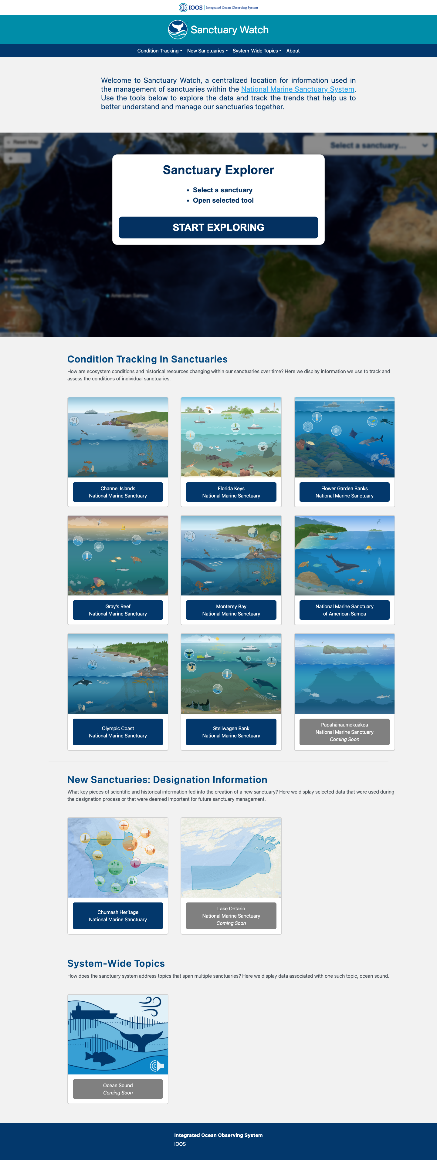
Sanctuary Watch
Web-based interactive tools for tracking ecosystem conditions, human connections, and management impacts across U.S. National Marine Sanctuaries.
Learn more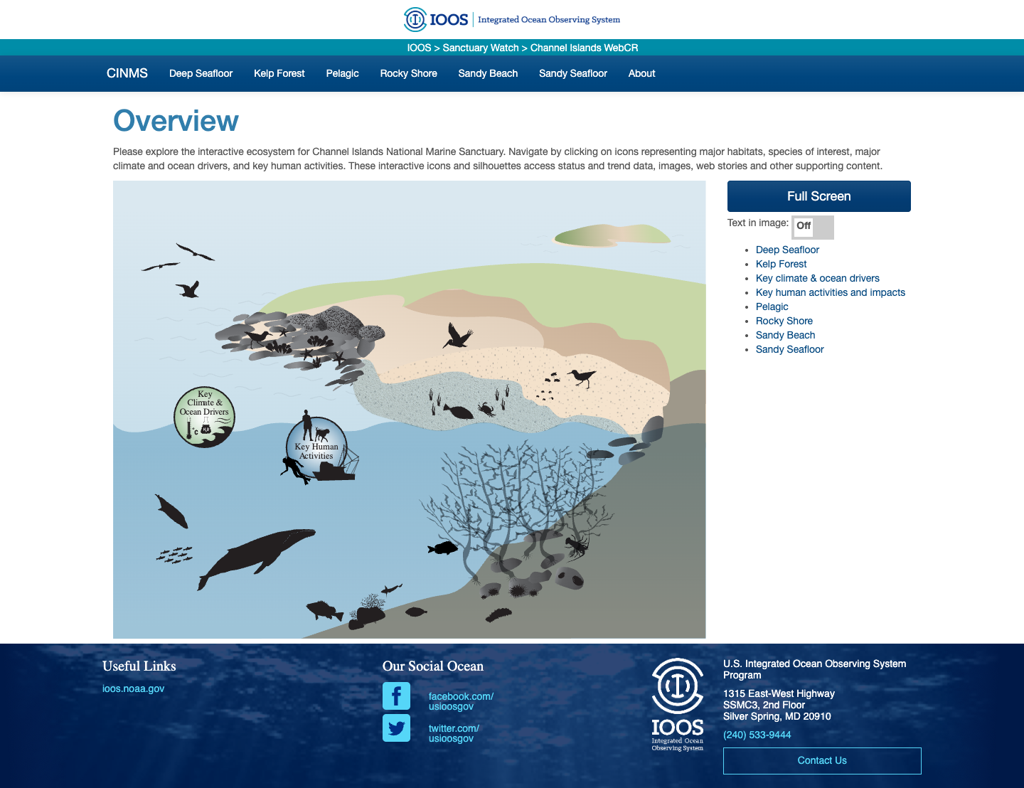
CINMS Infographics
Interactive ecosystem infographics for Channel Islands National Marine Sanctuary.
Learn more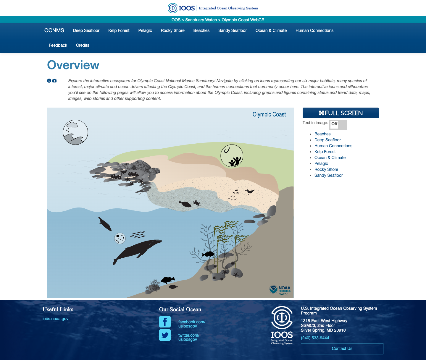
Olympic Coast NMS Infographics
Interactive ecosystem infographics for the Olympic Coast National Marine Sanctuary.
Learn more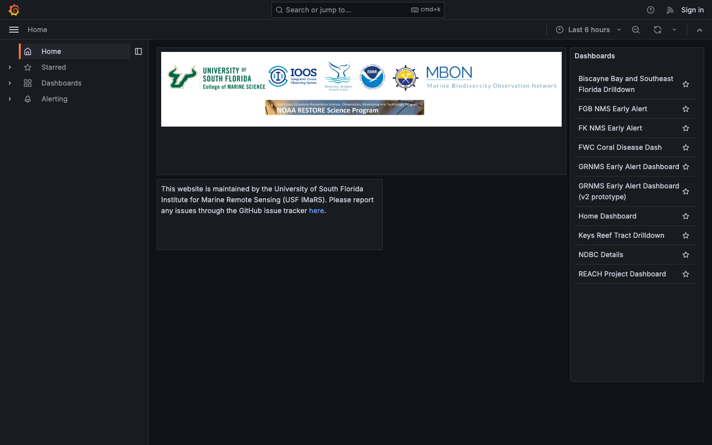
Florida Keys NMS Alert Dashboard
Early-warning dashboard combining satellite and buoy data to detect harmful algal blooms and anoxic conditions in the Florida Keys National Marine Sanctuary.
Learn more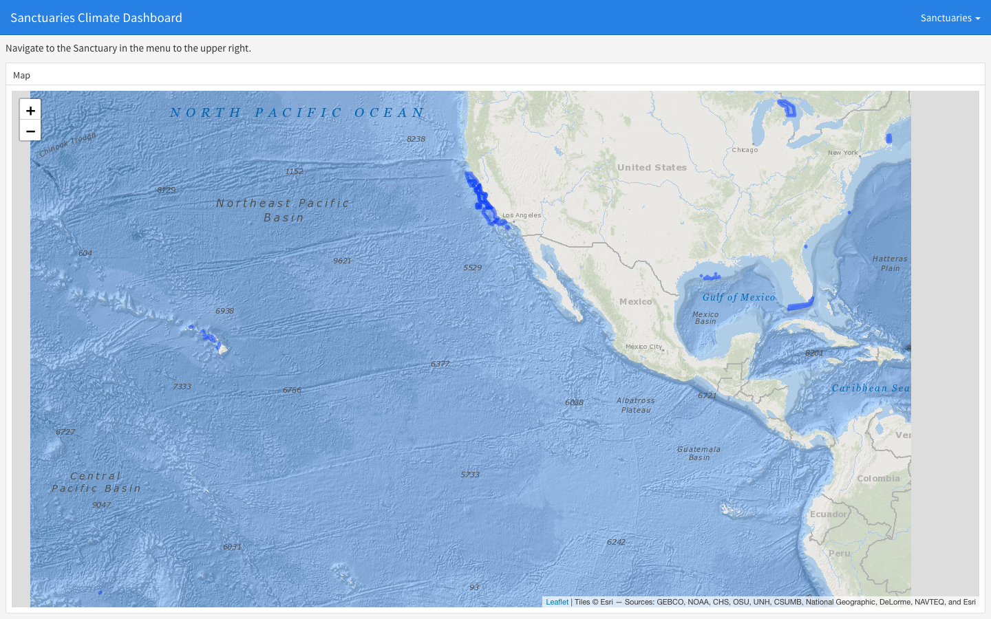
Sanctuaries Climate Dashboard
Static flexdashboard rendering climate indicators — sea surface temperature, chlorophyll-a, pH, sea-level rise — for each U.S. National Marine Sanctuary.
Learn more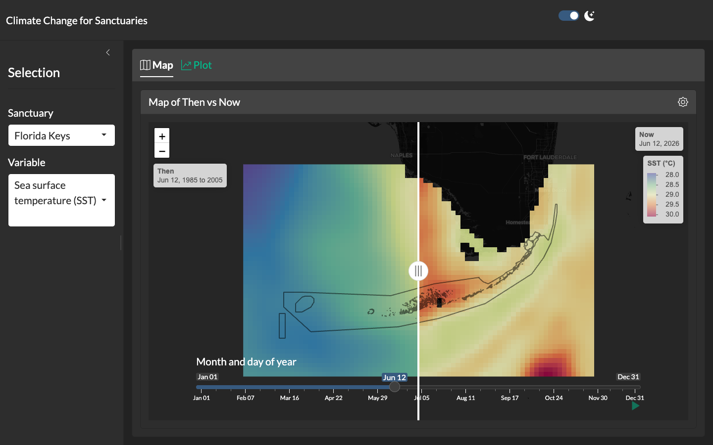
Climate Change for Sanctuaries
Shiny application with a swipeable "then vs. now" map comparing climatological reference periods to the present for each U.S. National Marine Sanctuary.
Learn more