
Coastal New England MBON
Nearshore observing from Long Island to Cape Cod.
The Coastal New England project integrates powerful technologies (acoustic telemetry, environmental DNA [eDNA], and acoustics) with traditional fisheries sampling to quantify impacts of changes in local and regional water conditions on individuals, populations, and community structure. Research includes study of the impacts of forage species and environmental conditions on Atlantic cod and common terns in both New Hampshire (Isles of Shoals) and southern Maine (Casco Bay) coastal waters.
To study the movements of these predators, tracking tags (GPS technology for terns, acoustic technology for Atlantic cod) are used to follow their movements. We will also examine their diet, by analyzing gut contents from Atlantic cod (both visually and via genomic methods) and terns (via genomics of fecal samples). The availability of forage species (including river herring, Atlantic herring, and squid) can be quantified through tracking, active acoustics, passive acoustics, and eDNA of water samples. Information on animal movements and diet can be integrated with a variety of environmental conditions from oceanographic buoys, other sensors, and ocean simulation models. Mathematical models are used to predict how changes in water temperature and diet will affect Atlantic cod and terns. Comparing and contrasting species’ responses to environmental change helps determine the “winners and losers” of climate change. All efforts each year are informed by a variety of stakeholders representing resource managers and non-profit organizations. The Coastal New England team also includes experts in data management and accessibility to ensure data are accessible in a timely manner.
Collectively, these results demonstrate the value in novel technologies in tracking shifts in biodiversity across space and time. This project’s efforts build on the known strengths of each method (eDNA, diet analyses, active acoustics, and passive acoustics) while also exploring their integration and defining scales of appropriate use. Definitions of how each method describes marine biodiversity in both unique but also shared ways are explored. This knowledge allows stakeholders to integrate these methods into their own efforts, aiding research and monitoring. Marine ecosystems are dynamic, and this project’s approach determines at which scales ecosystem components change, and which methods best detect such variation. Broadly, results demonstrate the relative importance of environmental conditions and food availability on marine communities to promote proper conservation and management in a rapidly changing Gulf of Maine. The project engages a variety of stakeholders, including New Hampshire Fish and Game Department, National Marine Fisheries Service, Maine Department of Marine Resources, National Audubon Society, and the Piscataqua Region Estuarine Partnership.
Marine zooplankton community structure through environmental DNA metabarcoding in the Florida Keys, collected by the South Florida Program (NOAA/AOML) and the Marine Biodiversity Observation Network (MBON)
This data consists of counts of putative zooplankton OTUs, revealed through metabarcoding of the cytochrome oxidase I (COI) gene extracted from filtered water samples in the Florida Keys National Marine Sanctuary during 2016.
View datasetCan we manage fisheries with the inherent uncertainty from eDNA?
Christopher L. Jerde · Journal of Fish Biology
Read paper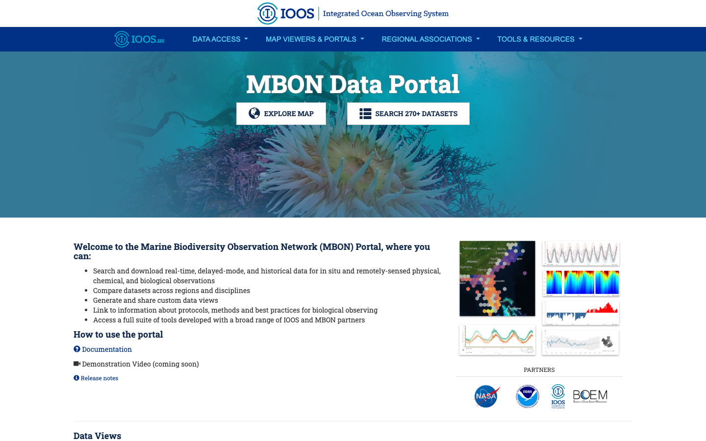
MBON Data Portal
Search, download, visualize, and analyze real-time, delayed-mode, and historical MBON biological observations alongside physical and chemical data.
Learn more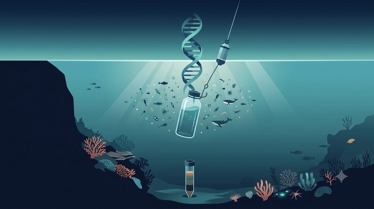
Genomics & eDNA
Environmental DNA extracted from water and sediment samples reveals the full community of organisms present — from bacteria to whales — with a speed and breadth impossible through visual surveys alone.
Learn more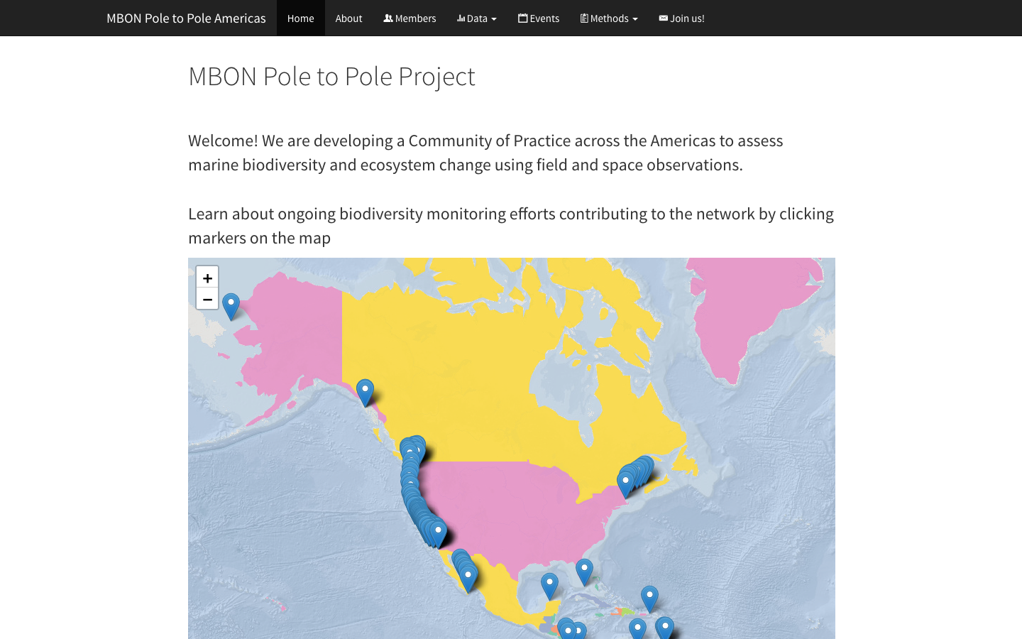
MBON Pole to Pole Data Atlas
Harmonized rocky-shore and sandy-beach biodiversity observations from Canada to Patagonia, standardized for cross-regional comparison and open access via OBIS.
Learn more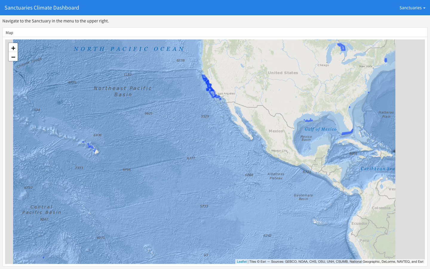
Sanctuaries Climate Dashboard
Static flexdashboard rendering climate indicators — sea surface temperature, chlorophyll-a, pH, sea-level rise — for each U.S. National Marine Sanctuary.
Learn more