
Central California MBON
Monterey Bay sanctuary observing and Seascapes.
This project will integrate remote sensing products, in situ data and models in support of long term needs of the NOAA California Current Integrated Ecosystem Assessment (CCIEA), Office of National Marine Sanctuaries, Bureau of Ocean Energy Management, and State of California. The goal is to quantify relationships between climate, the ocean environment (physics, chemistry) and marine food webs (from microbes to fish and top predators), with the aim of providing predictive understanding of marine ecosystem responses to environmental change.
Remote sensing products include SST, sea level, chlorophyll (and fluorescence line height) and winds as well as derived products (i.e. MBON Seascapes ) that integrate the measurements above. Standard model output (i.e. currents, salinity) complement remote sensing and are used in the derived products. In situ data are provided by NOAA fisheries and CalCOFI, academic and private research institutions, the animal telemetry network and will include traditional (nets, microscopes) and innovative (eDNA, acoustics, video) approaches. The models utilize numerical and statistical approaches. An ensemble approach will be developed and models that agree or disagree will be identified to better define uncertainties involving in the prediction of ecosystem response. Modeling approaches will be compared to remote sensing product variability. A statistical model for estimating forage (krill, small pelagics) species distribution utilizing information on winter-preconditioning of upwelling (chemistry, physics) and remote sensing and in situ data (phytoplankton and zooplankton) during spring, will be developed.
We will also evaluate the physical and biological characteristics associated with California Current Seascapes using a combination of physical, biological and ecological time series to better define which remote sensing products (and their heterogeneity; area, spatial intensity) best describe processes related to observations of food web structure, forage species and top predator distribution and risks during extreme events (i.e. the blob, marine heatwaves). Further, coupled biophysical numerical models (ROMS+NPZ) (already under use with NASA funding) will be compared to new in situ data and the statistical forage species distribution model. The information and products developed will be managed and served by the California Current Integrated Ecosystem Assessment (CCIEA) and CeNCOOS. These products will benefit sustainable development of fisheries, renewable energy and new challenges in ecosystem management arising from climate variability and change.
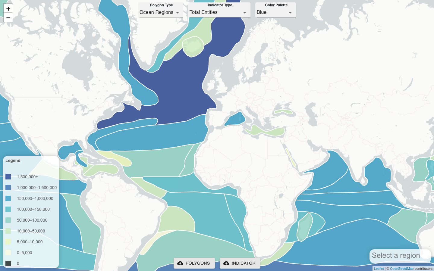
CoastWatch OBIS Indicator Explorer
Server-side tool that co-locates satellite remote sensing products, gridded model outputs, and OBIS field observations to generate biodiversity indicators for any polygon.
Learn moreMarine zooplankton community structure through environmental DNA metabarcoding in the Florida Keys, collected by the South Florida Program (NOAA/AOML) and the Marine Biodiversity Observation Network (MBON)
This data consists of counts of putative zooplankton OTUs, revealed through metabarcoding of the cytochrome oxidase I (COI) gene extracted from filtered water samples in the Florida Keys National Marine Sanctuary during 2016.
View dataset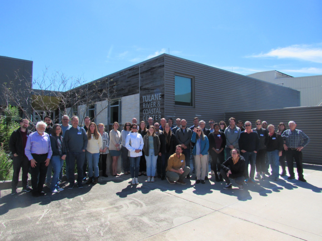
MBON All Hands 2024: Ten Years of U.S. MBON
The U.S. MBON celebrated the tenth anniversary of its pilot projects at its annual All-Hands Workshop in New Orleans, bringing together scientists, agency partners, and international collaborators.
Read story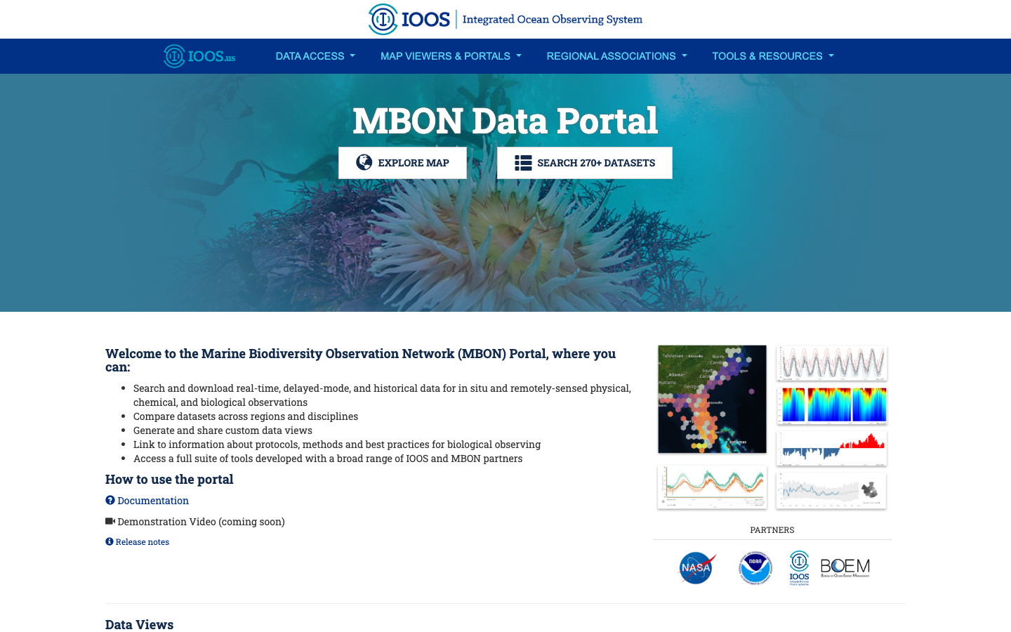
MBON Data Portal
Search, download, visualize, and analyze real-time, delayed-mode, and historical MBON biological observations alongside physical and chemical data.
Learn more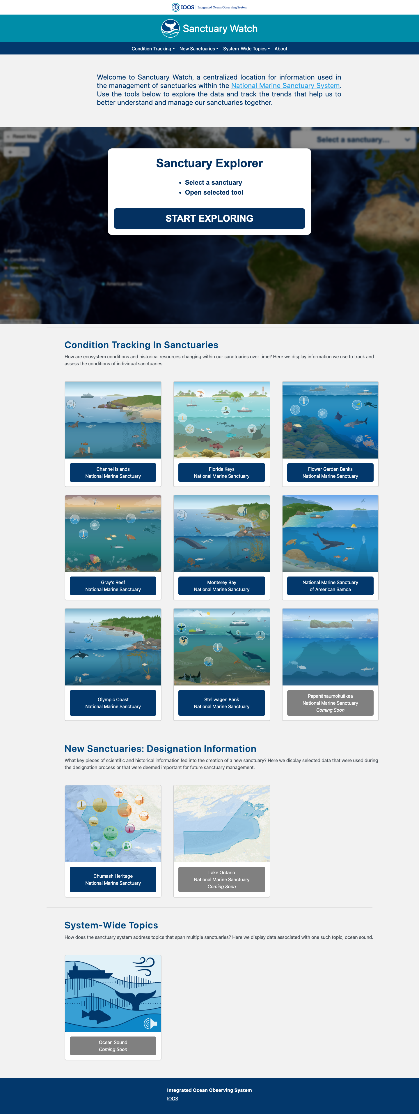
Sanctuary Watch
Web-based interactive tools for tracking ecosystem conditions, human connections, and management impacts across U.S. National Marine Sanctuaries.
Learn more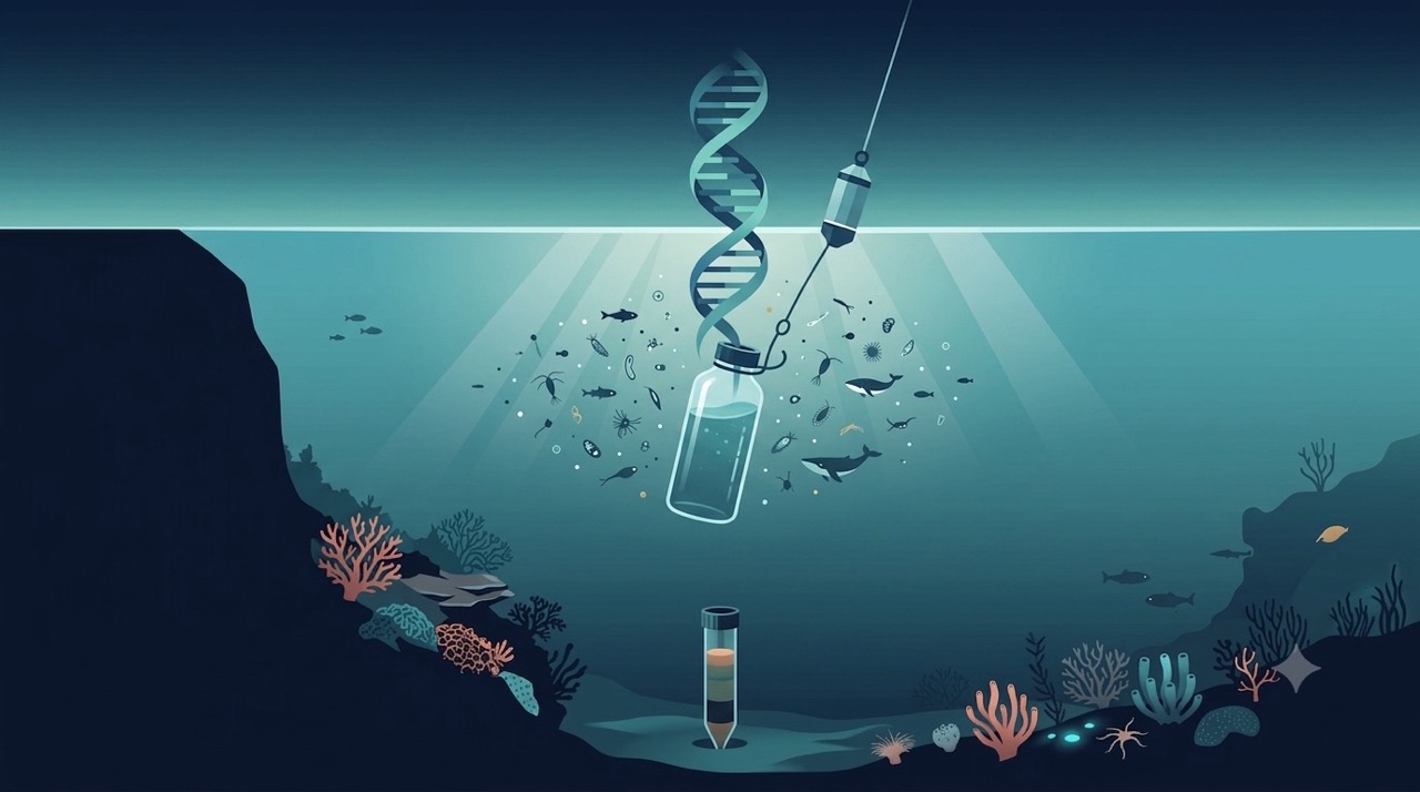
Genomics & eDNA
Environmental DNA extracted from water and sediment samples reveals the full community of organisms present — from bacteria to whales — with a speed and breadth impossible through visual surveys alone.
Learn more