
Tracking
Electronic tags on fish, turtles, marine mammals, and seabirds reveal how animals move through and use ocean habitat — essential for conservation planning and understanding climate responses.
Telemetry — attaching electronic tags to marine animals and recovering the location and behavior data they record — has transformed our understanding of how ocean biodiversity is distributed in space and time. MBON’s tracking work is anchored in the BioTrack thematic node, which coordinates with NOAA’s Animal Telemetry Network (ATN).
Acoustic telemetry
Acoustic tags transmit coded pulses that are detected by underwater receiver arrays. Networks of receivers in estuaries, bays, and offshore waters can track tagged fish, sharks, and sea turtles over months to years, revealing migration corridors, seasonal habitat use, and site fidelity. The integrated ATN database holds hundreds of millions of detections from thousands of tagged animals.
Satellite telemetry
Platform Transmitter Terminals (PTTs) and GPS tags attached to air-breathing animals (sea turtles, marine mammals, seabirds) transmit location data via the Argos satellite system. This provides basin-scale movement data impossible to collect with fixed receivers.
Archival and biologging tags
Miniaturized data loggers record depth, temperature, light level, and acceleration at high frequency. Recovered from recaptured animals or dead-recovered individuals, archival tags reveal fine-scale diving behavior, foraging activity, and the thermal environments animals select — a window into physiology and prey availability.
Data infrastructure
BioTrack works with ATN, the Ocean Biodiversity Information System (OBIS), and the Movebank repository to ensure tracking data are FAIR — accessible to researchers globally and linkable to environmental layers from remote sensing and oceanographic models.
More ways MBON observes
Satellites and aerial sensors resolve ocean color, temperature, and habitat extent across millions of square kilometers — scales no ship survey can match.
Trawl surveys, visual transects, and ship-based acoustic surveys remain the calibration backbone of marine biodiversity monitoring — the gold standard that modern methods are validated against.
Passive acoustic monitoring listens to the soundscape of the sea; active acoustics enumerates fish and zooplankton. Together they cover the water column continuously, day and night.
Environmental DNA extracted from water and sediment samples reveals the full community of organisms present — from bacteria to whales — with a speed and breadth impossible through visual surveys alone.
Raw observations become decision-relevant information through synthesis into Essential Ocean Variables, open data pipelines, and indicators that managers and policymakers can act on.
Rocky-shore and sandy-beach transects, photo quadrats, and intertidal surveys record coastal biodiversity — connecting the land-sea interface to the global observation network.
BioTrack
Mapping marine biodiversity hotspots by integrating satellite and acoustic animal tracking with remotely sensed environmental data.
Learn more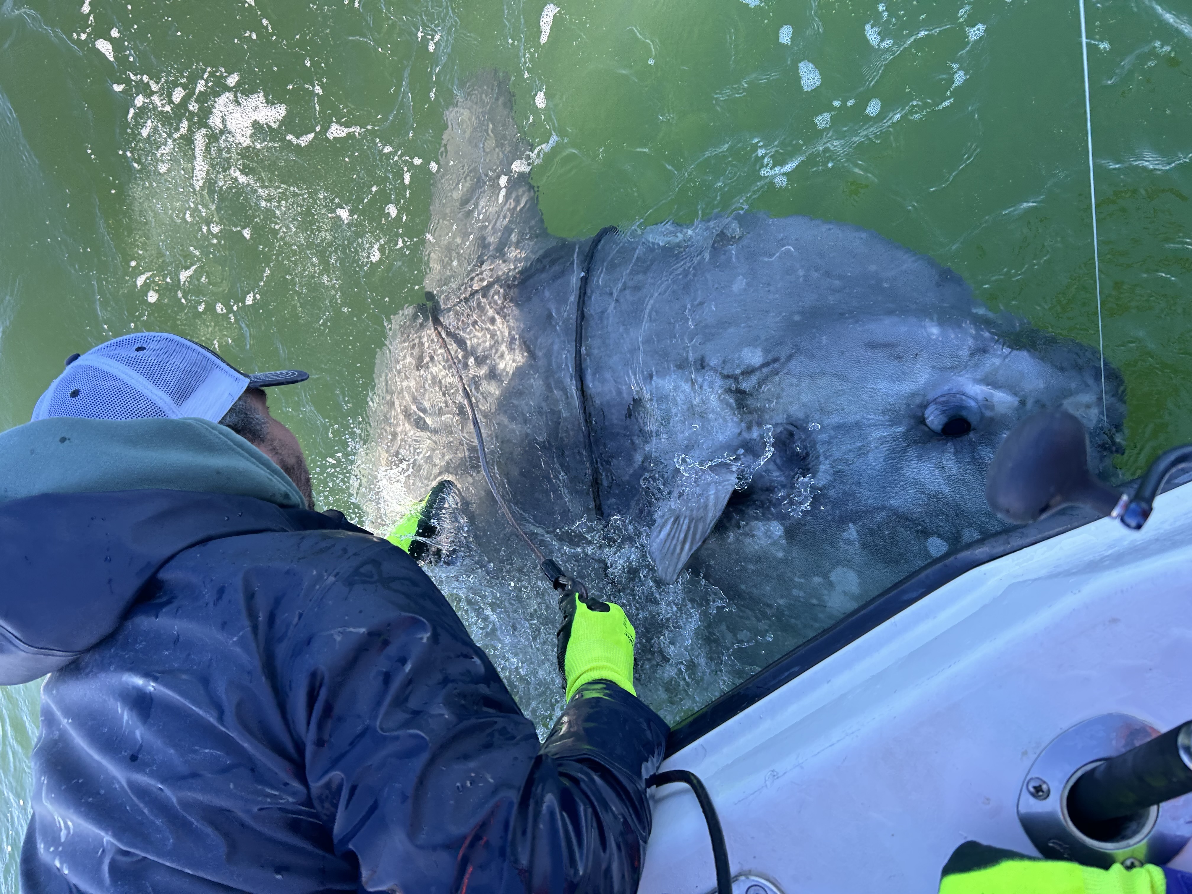
Tracking Ocean Sunfish to Map Marine Biodiversity Hotspots
By combining satellite and acoustic tracking of marine species like the ocean sunfish, BioTrack is uncovering key patterns in biodiversity and making animal-movement data accessible to resource managers.
Read storyUNH - Coastal New England MBON - Atlantic cod
This is the OBIS extraction of the Atlantic Cooperative Telemetry and University of New Hampshire (UNH) UNH - Coastal New England MBON - Atlantic cod, consisting of the release tagging metadata, i.e.
View datasetBehavior of singing fin whales Balaenoptera physalus tracked acoustically offshore of Southern California
Lm Varga et al. · Endangered Species Research
Read paper