
Remote Sensing
Satellites and aerial sensors resolve ocean color, temperature, and habitat extent across millions of square kilometers — scales no ship survey can match.
Remote sensing allows MBON to observe the ocean surface continuously and globally. Earth-observation satellites measure chlorophyll concentration, sea surface temperature, turbidity, and light attenuation — all proxies for biological productivity and habitat conditions.
Seascapes
The flagship MBON remote-sensing product is Seascapes: a daily, global classification of the ocean surface into ecologically meaningful habitat types derived from multi-sensor satellite imagery. Seascapes provide a dynamic backdrop against which biodiversity observations from ships and instruments can be contextualized and compared.
What remote sensing can and cannot do
Remote sensing excels at synoptic, frequent, large-scale observation of surface properties. It cannot directly observe organisms below the photic zone, distinguish species, or replace the in-situ biological sampling needed to calibrate satellite-derived signals. MBON pairs remote sensing with eDNA, acoustic, and tracking methods to build a multi-layered picture of marine biodiversity.
Working groups and products
The MBON remote-sensing working group develops algorithms, validation datasets, and data products in coordination with NASA, NOAA CoastWatch, and the European Space Agency. Key outputs include the Seascapes viewer and the infographic products used in U.S. National Marine Sanctuary condition reports.
More ways MBON observes
Trawl surveys, visual transects, and ship-based acoustic surveys remain the calibration backbone of marine biodiversity monitoring — the gold standard that modern methods are validated against.
Passive acoustic monitoring listens to the soundscape of the sea; active acoustics enumerates fish and zooplankton. Together they cover the water column continuously, day and night.
Electronic tags on fish, turtles, marine mammals, and seabirds reveal how animals move through and use ocean habitat — essential for conservation planning and understanding climate responses.
Environmental DNA extracted from water and sediment samples reveals the full community of organisms present — from bacteria to whales — with a speed and breadth impossible through visual surveys alone.
Raw observations become decision-relevant information through synthesis into Essential Ocean Variables, open data pipelines, and indicators that managers and policymakers can act on.
Rocky-shore and sandy-beach transects, photo quadrats, and intertidal surveys record coastal biodiversity — connecting the land-sea interface to the global observation network.
Remote Sensing & Seascapes
Advancing satellite remote sensing and dynamic seascape products to map and monitor marine biodiversity and its drivers across the MBON network.
Learn moreDynamic Satellite Seascapes as a Biogeographic Framework for Understanding Phytoplankton Assemblages in the Florida Keys National Marine Sanctuary, United States
Enrique Montes et al. · Frontiers in Marine Science
Read paper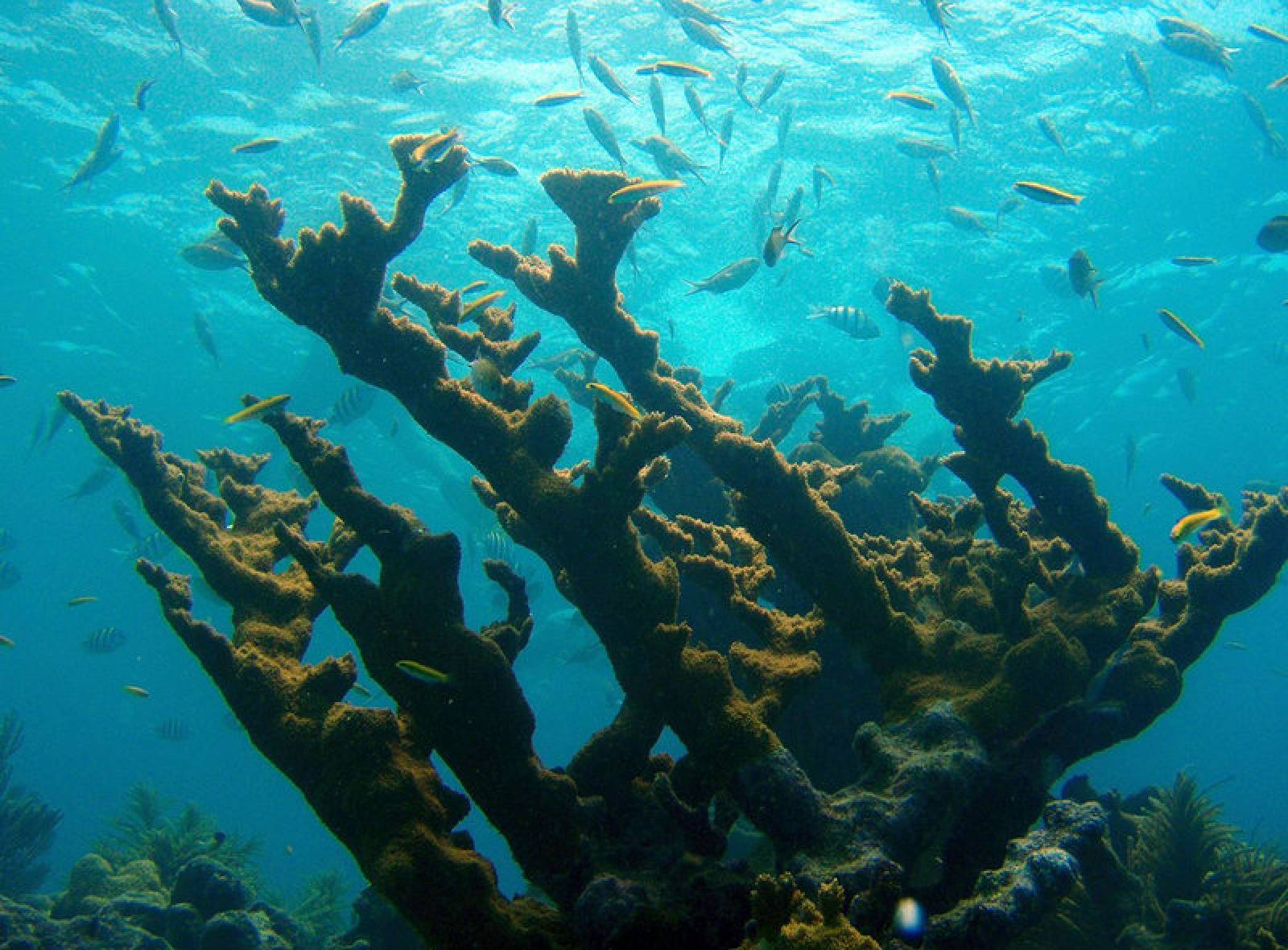
US and Global MBON Partnership: MBON Seascapes on NOAA CoastWatch
US and global MBON partnered with US IOOS, NOAA’s Oceanic and Atmospheric Research Atlantic Oceanographic and Meteorological Laboratory (AOML), and …
Read storyPhytoplankton Pigment Communities Can be Modeled Using Unique Relationships With Spectral Absorption Signatures in a Dynamic Coastal Environment: MODELING PIGMENT COMMUNITIES
D. Catlett et al. · Journal of Geophysical Research: Oceans
Read paper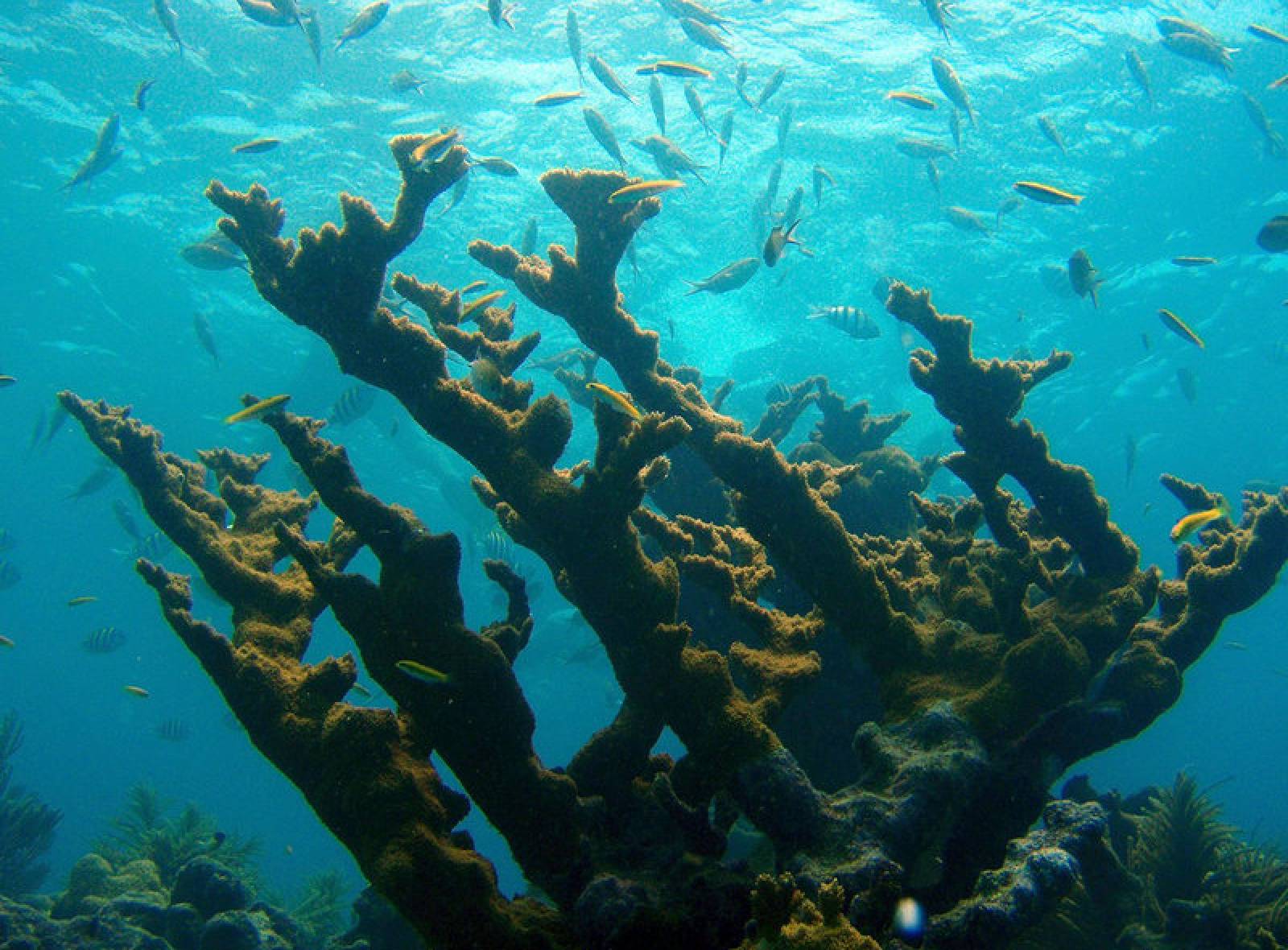
MBON and AOML Characterize Seascapes Biogeographic Regions to Understand Phytoplankton Assemblages in the Florida Keys National Marine Sanctuary
MBON, with NOAA/AOML, has characterized seascapes for the Florida Keys National Marine Sanctuary (FKNMS) and southwest Florida shelf nearshore environment using …
Read story
Gulf of Maine MBON
Cold-water shelf ecosystem and fisheries.
Learn more