
Indicators & Data Management
Raw observations become decision-relevant information through synthesis into Essential Ocean Variables, open data pipelines, and indicators that managers and policymakers can act on.
Observations — however numerous — only inform conservation and policy when they are synthesized into indicators, made interoperable across networks, and delivered through open, reproducible data systems. MBON’s indicators and data management (DMAC) working groups develop the infrastructure that connects raw data to decisions.
Essential Ocean Variables and Essential Biodiversity Variables
MBON organizes its observing around the framework of Essential Ocean Variables (EOVs, defined by GOOS) and Essential Biodiversity Variables (EBVs, defined by GEO BON). These provide a shared vocabulary for what to measure and how, enabling comparison across programs, regions, and time.
Biodiversity EOVs include phytoplankton biomass and diversity, zooplankton biomass and diversity, fish abundance and distribution, marine turtles, seabirds, marine mammals, and hard coral cover — all of which MBON nodes actively measure.
FAIR data and OBIS
All MBON data flows to the Ocean Biodiversity Information System (OBIS), the world’s largest open-access repository of marine species occurrence data. MBON enforces FAIR (Findable, Accessible, Interoperable, Reusable) data principles: Darwin Core-formatted records, rich metadata, persistent identifiers, and open licenses.
Indicators pipeline
The MBON indicators working group builds and maintains reproducible analysis pipelines — typically in R and Python, version-controlled on GitHub — that ingest raw observations from OBIS and produce indicator time series. These pipelines power products such as the climate dashboard, the early alert system, and the condition report infographics.
Data Management and Cyberinfrastructure (DMAC)
The DMAC working group coordinates with NOAA IOOS and international partners on data standards, metadata schemas, API design, and sensor data integration. The goal is a seamless flow from instrument to archive to analysis product — with no data left stranded in spreadsheets on a local hard drive.
More ways MBON observes
Satellites and aerial sensors resolve ocean color, temperature, and habitat extent across millions of square kilometers — scales no ship survey can match.
Trawl surveys, visual transects, and ship-based acoustic surveys remain the calibration backbone of marine biodiversity monitoring — the gold standard that modern methods are validated against.
Passive acoustic monitoring listens to the soundscape of the sea; active acoustics enumerates fish and zooplankton. Together they cover the water column continuously, day and night.
Electronic tags on fish, turtles, marine mammals, and seabirds reveal how animals move through and use ocean habitat — essential for conservation planning and understanding climate responses.
Environmental DNA extracted from water and sediment samples reveals the full community of organisms present — from bacteria to whales — with a speed and breadth impossible through visual surveys alone.
Rocky-shore and sandy-beach transects, photo quadrats, and intertidal surveys record coastal biodiversity — connecting the land-sea interface to the global observation network.
Indicators
Synthesizing raw observations into Essential Biodiversity Variables and Essential Ocean Variables for policy-relevant reporting.
Learn moreEco-Indicators
Linking marine biodiversity observations to ecosystem service indicators for integrated ocean assessment.
Learn moreData Management
Ensuring MBON observational data are FAIR — Findable, Accessible, Interoperable, and Reusable — from sensor to archive.
Learn moreAdvancing Marine Biological Observations and Data Requirements of the Complementary Essential Ocean Variables (EOVs) and Essential Biodiversity Variables (EBVs) Frameworks
Frank E. Muller-Karger et al. · Frontiers in Marine Science
Read paperSatellite sensor requirements for monitoring essential biodiversity variables of coastal ecosystems
Frank E. Muller-Karger et al. · Ecological Applications
Read paper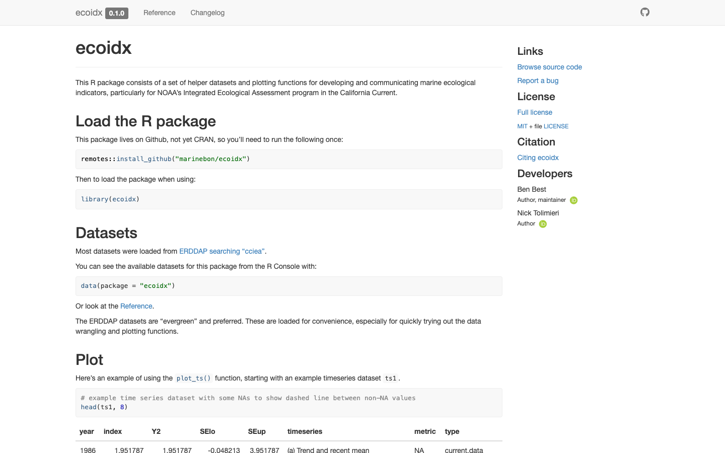
ecoidx
R package implementing NOAA Integrated Ecosystem Assessment (IEA) indicator standards — workflows and visualizations for marine ecological indicators.
Learn more