
Benthic Surveys
Rocky-shore and sandy-beach transects, photo quadrats, and intertidal surveys record coastal biodiversity — connecting the land-sea interface to the global observation network.
Benthic and coastal surveys place trained observers directly at the shoreline or on the seafloor to measure what lives there. Unlike ship-based or satellite methods, these surveys require physical presence — which yields unmatched taxonomic resolution for sessile invertebrates, algae, and macrofauna that define the structure of coastal ecosystems.
Rocky intertidal transects
Permanent belt transects and quadrats sampled on each tidal visit record percent cover of algae and invertebrates (barnacles, mussels, limpets, urchins, turf algae). By revisiting exact positions over years and decades, rocky-shore transects detect community shifts driven by temperature anomalies, sea-level change, and disturbance — making them among the most sensitive coastal climate indicators available.
Sandy-beach surveys
Sandy-beach macrofaunal surveys sieve sediment from cross-shore transects to count polychaetes, amphipods, and bivalves across the swash zone. Wrack and shorebird surveys extend the record to higher-trophic vertebrate use of the drift zone.
Photo quadrats
Standardized frames photographed repeatedly at permanent stations create a visual archive of community composition without removing organisms. Image-analysis software and AI-assisted annotation can process thousands of quadrat photographs to quantify cover, track recruits, and detect invasion — at a fraction of the manual effort.
MBON Pole to Pole
The MBON Pole to Pole Data Atlas standardizes rocky-shore and sandy-beach protocols across the Americas — from Canada to Patagonia — so that a photo quadrat recorded in Baja California is directly comparable to one in Uruguay. Observations flow openly to OBIS and are available for large-scale analysis of latitudinal gradients, climate responses, and long-term change.
More ways MBON observes
Satellites and aerial sensors resolve ocean color, temperature, and habitat extent across millions of square kilometers — scales no ship survey can match.
Trawl surveys, visual transects, and ship-based acoustic surveys remain the calibration backbone of marine biodiversity monitoring — the gold standard that modern methods are validated against.
Passive acoustic monitoring listens to the soundscape of the sea; active acoustics enumerates fish and zooplankton. Together they cover the water column continuously, day and night.
Electronic tags on fish, turtles, marine mammals, and seabirds reveal how animals move through and use ocean habitat — essential for conservation planning and understanding climate responses.
Environmental DNA extracted from water and sediment samples reveals the full community of organisms present — from bacteria to whales — with a speed and breadth impossible through visual surveys alone.
Raw observations become decision-relevant information through synthesis into Essential Ocean Variables, open data pipelines, and indicators that managers and policymakers can act on.
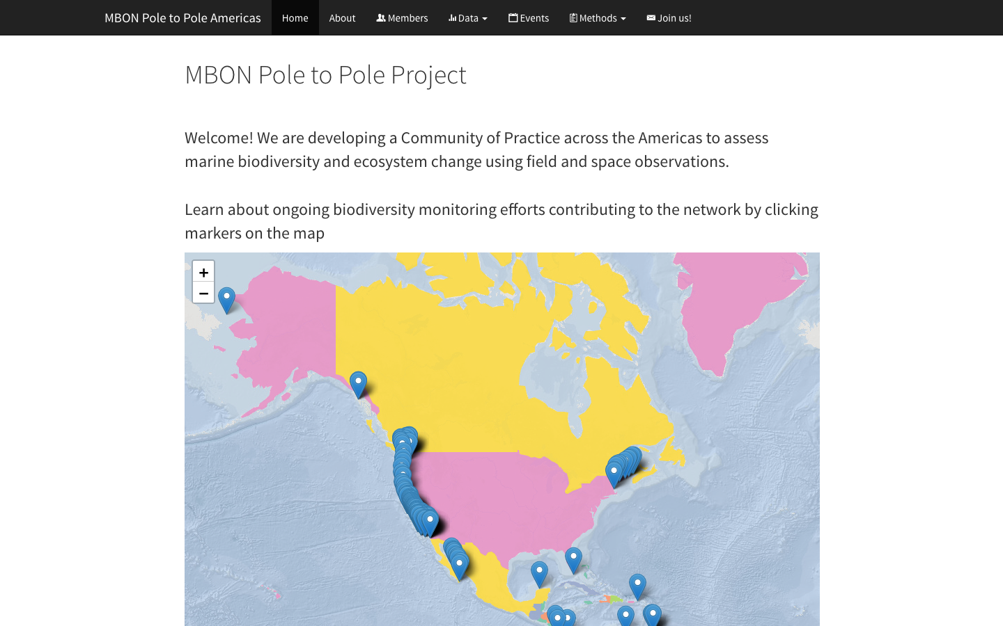
MBON Pole to Pole Data Atlas
Harmonized rocky-shore and sandy-beach biodiversity observations from Canada to Patagonia, standardized for cross-regional comparison and open access via OBIS.
Learn more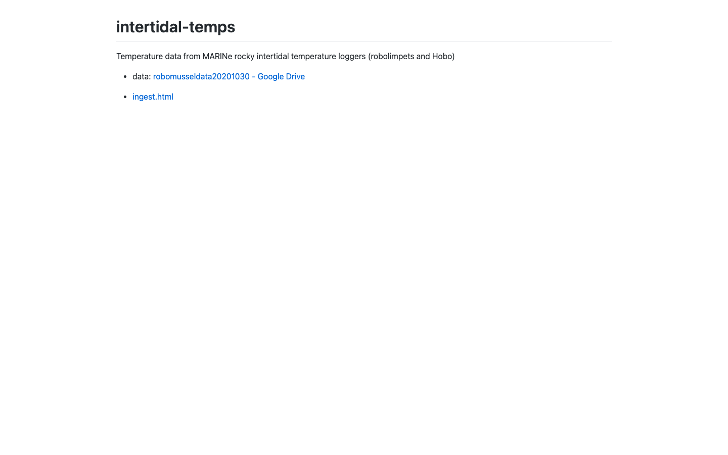
Intertidal Temperatures
Visualization of intertidal temperature logger records along rocky shores.
Learn more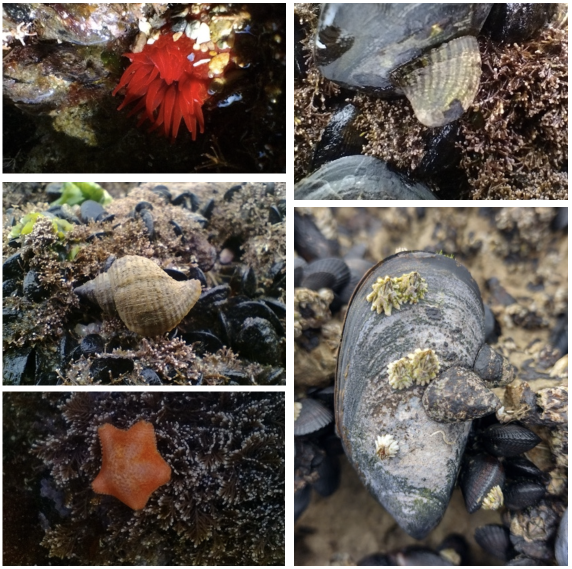
Sampling protocol for monitoring marine biodiversity on rocky shores
Third edition
Learn more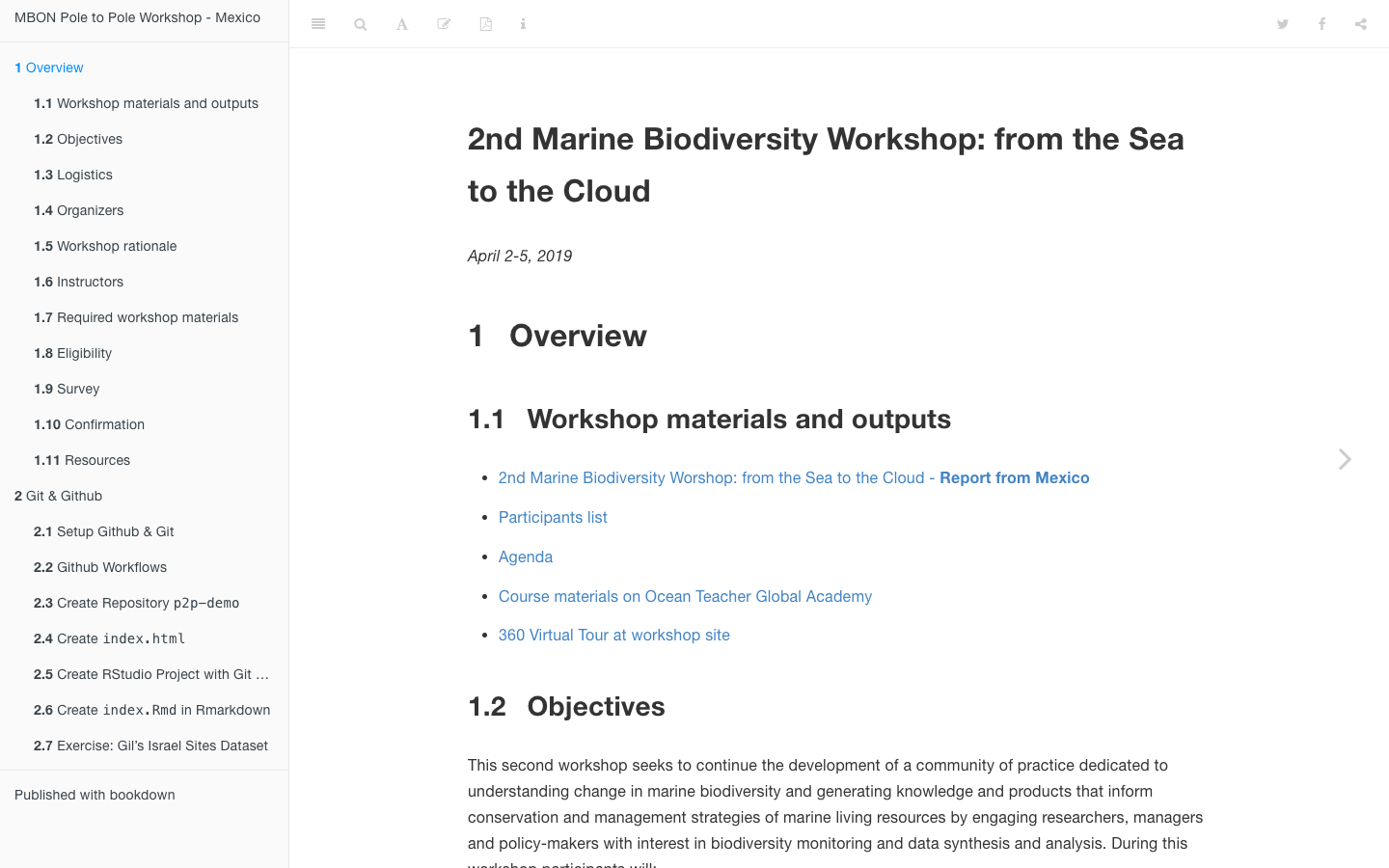
Pole to Pole Workshop — Mexico
MBON Pole to Pole rocky-shore and sandy-beach biodiversity monitoring training (Mexico).
Learn more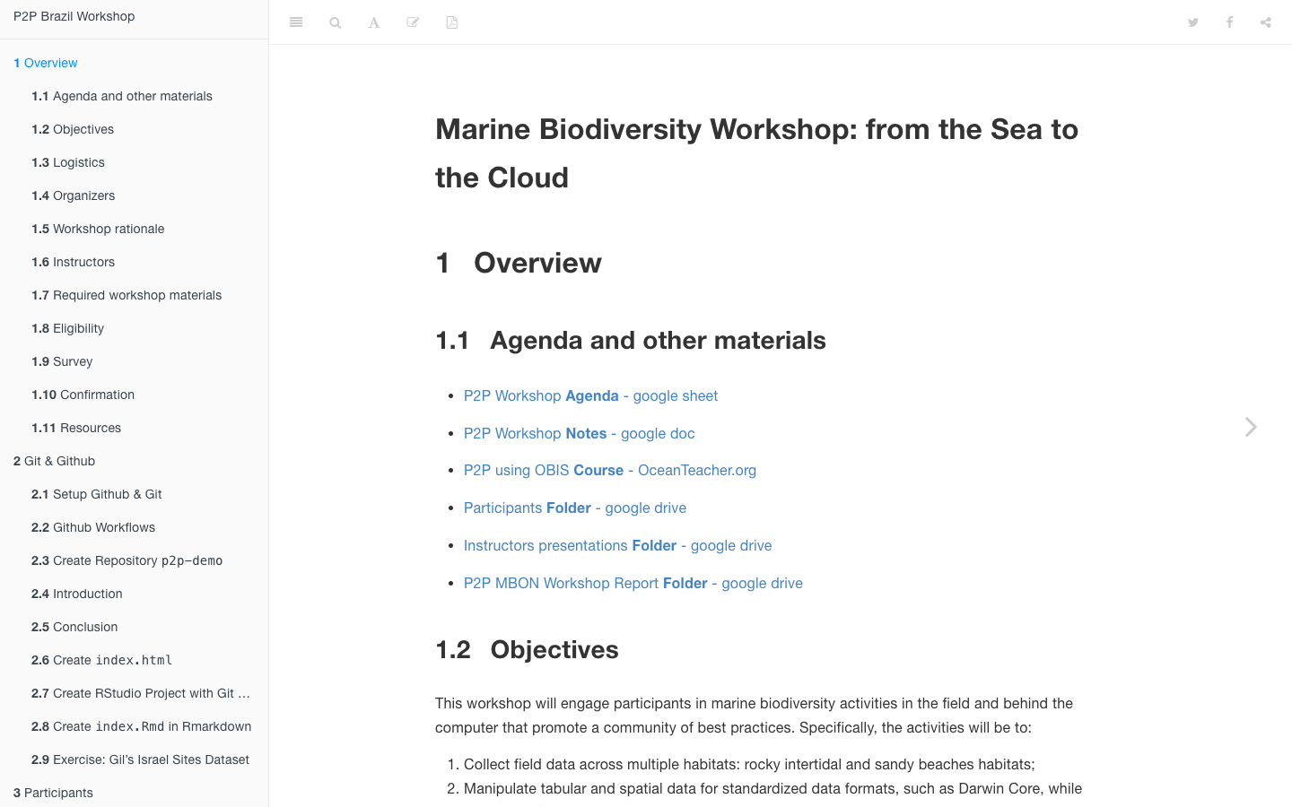
Pole to Pole Workshop — Brazil
MBON Pole to Pole rocky-shore and sandy-beach biodiversity monitoring training (Brazil).
Learn more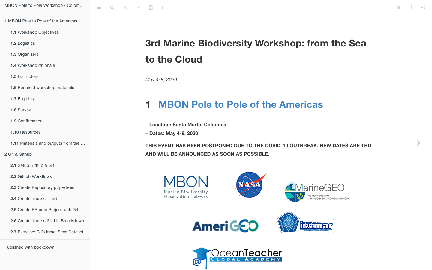
Pole to Pole Workshop — Colombia
MBON Pole to Pole rocky-shore and sandy-beach biodiversity monitoring training (Colombia).
Learn more